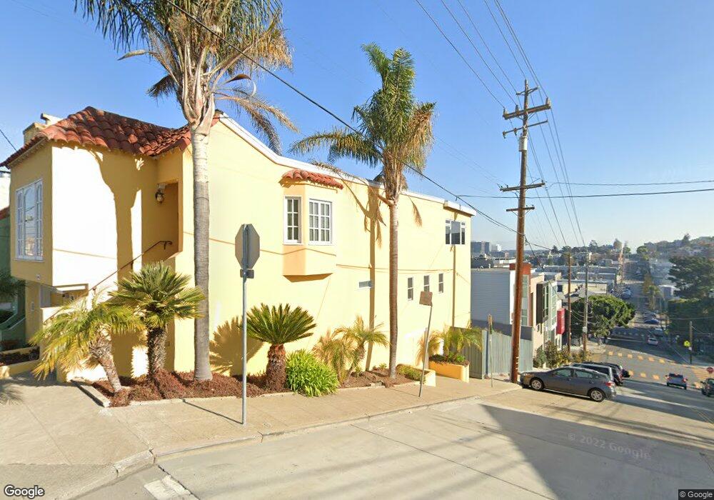
595 Rhode Island St San Francisco, CA 94107
Potrero NeighborhoodEstimated Value: $1,913,487 - $2,766,000
3
Beds
3
Baths
1,935
Sq Ft
$1,260/Sq Ft
Est. Value
About This Home
This home is located at 595 Rhode Island St, San Francisco, CA 94107 and is currently estimated at $2,437,622, approximately $1,259 per square foot. 595 Rhode Island St is a home located in San Francisco County with nearby schools including Daniel Webster Elementary School, James Lick Middle School, and The New School of San Francisco.
Ownership History
Date
Name
Owned For
Owner Type
Purchase Details
Closed on
Dec 12, 2012
Sold by
Mckay Linda
Bought by
Mckay Linda
Current Estimated Value
Purchase Details
Closed on
Apr 8, 2006
Sold by
Swenson Eric L
Bought by
Swenson Eric L and Mckay Linda
Purchase Details
Closed on
Mar 6, 1997
Sold by
Swenson Eric L
Bought by
Swenson Eric L
Create a Home Valuation Report for This Property
The Home Valuation Report is an in-depth analysis detailing your home's value as well as a comparison with similar homes in the area
Home Values in the Area
Average Home Value in this Area
Purchase History
| Date | Buyer | Sale Price | Title Company |
|---|---|---|---|
| Mckay Linda | -- | None Available | |
| Swenson Eric L | -- | None Available | |
| Swenson Eric L | -- | -- |
Source: Public Records
Tax History Compared to Growth
Tax History
| Year | Tax Paid | Tax Assessment Tax Assessment Total Assessment is a certain percentage of the fair market value that is determined by local assessors to be the total taxable value of land and additions on the property. | Land | Improvement |
|---|---|---|---|---|
| 2025 | $12,514 | $1,028,031 | $413,943 | $614,088 |
| 2024 | $12,514 | $1,007,875 | $405,827 | $602,048 |
| 2023 | $12,320 | $988,115 | $397,870 | $590,245 |
| 2022 | $12,079 | $968,741 | $390,069 | $578,672 |
| 2021 | $11,862 | $949,748 | $382,421 | $567,327 |
| 2020 | $12,156 | $940,012 | $378,500 | $561,512 |
| 2019 | $11,646 | $921,583 | $371,079 | $550,504 |
| 2018 | $11,251 | $903,514 | $363,803 | $539,711 |
| 2017 | $10,821 | $885,800 | $356,670 | $529,130 |
| 2016 | $10,633 | $868,434 | $349,677 | $518,757 |
| 2015 | $10,067 | $818,964 | $344,425 | $474,539 |
| 2014 | $9,803 | $802,923 | $337,679 | $465,244 |
Source: Public Records
Map
Nearby Homes
- 700 De Haro St
- 631 Carolina St
- 666 Carolina St Unit 666
- 542 Kansas St
- 1812 20th St
- 352 Arkansas St
- 451 Kansas St Unit 410
- 2225 Mariposa St
- 507 Potrero Ave
- 264 Missouri St
- 1002 Rhode Island St Unit 1
- 2023 22nd St
- 2119 22nd St
- 561 Connecticut St
- 573 Connecticut St
- 701 Hampshire St Unit 5
- 2625 19th St
- 312 Utah St
- 333-335 Potrero Ave
- 338 Potrero Ave Unit 206
- 587 Rhode Island St
- 579 Rhode Island St
- 1938 18th St
- 573 Rhode Island St
- 1928 18th St
- 601 Rhode Island St Unit 603
- 1925 18th St Unit 1925A
- 567 Rhode Island St
- 1916 18th St
- 1918 18th St
- 1915 18th St
- 1912 18th St
- 609 Rhode Island St
- 561 Rhode Island St
- 1921 18th St
- 586 De Haro St
- 596 De Haro St
- 611 Rhode Island St
- 555 Rhode Island St
- 1909 18th St