595 Rocky Rd Eureka, MT 59917
Estimated Value: $526,000 - $699,763
3
Beds
3
Baths
1,452
Sq Ft
$426/Sq Ft
Est. Value
About This Home
This home is located at 595 Rocky Rd, Eureka, MT 59917 and is currently estimated at $618,254, approximately $425 per square foot. 595 Rocky Rd is a home with nearby schools including Eureka Elementary School, Eureka Middle School, and Lincoln County High School.
Ownership History
Date
Name
Owned For
Owner Type
Purchase Details
Closed on
Oct 25, 2013
Sold by
Lihme Krispin and Lihme Becky
Bought by
Lihme Krispin Kent and Lihme Becky Ann
Current Estimated Value
Purchase Details
Closed on
Jun 8, 2007
Sold by
Warren Gayle L
Bought by
Lihme Krispin Kent and Lihme Becky Ann
Home Financials for this Owner
Home Financials are based on the most recent Mortgage that was taken out on this home.
Original Mortgage
$100,000
Outstanding Balance
$61,256
Interest Rate
6.21%
Mortgage Type
Unknown
Estimated Equity
$556,998
Create a Home Valuation Report for This Property
The Home Valuation Report is an in-depth analysis detailing your home's value as well as a comparison with similar homes in the area
Purchase History
| Date | Buyer | Sale Price | Title Company |
|---|---|---|---|
| Lihme Krispin Kent | -- | None Available | |
| Lihme Krispin Kent | -- | None Available |
Source: Public Records
Mortgage History
| Date | Status | Borrower | Loan Amount |
|---|---|---|---|
| Open | Lihme Krispin Kent | $100,000 |
Source: Public Records
Tax History
| Year | Tax Paid | Tax Assessment Tax Assessment Total Assessment is a certain percentage of the fair market value that is determined by local assessors to be the total taxable value of land and additions on the property. | Land | Improvement |
|---|---|---|---|---|
| 2025 | $2,181 | $709,000 | $0 | $0 |
| 2024 | $2,363 | $518,400 | $0 | $0 |
| 2023 | $3,044 | $518,400 | $0 | $0 |
| 2022 | $1,857 | $330,300 | $0 | $0 |
| 2021 | $2,203 | $365,200 | $0 | $0 |
| 2020 | $2,251 | $338,000 | $0 | $0 |
| 2019 | $2,283 | $338,000 | $0 | $0 |
| 2018 | $2,153 | $310,600 | $0 | $0 |
| 2017 | $1,947 | $310,600 | $0 | $0 |
| 2016 | $1,958 | $278,800 | $0 | $0 |
| 2015 | $1,573 | $278,800 | $0 | $0 |
| 2014 | $1,548 | $138,012 | $0 | $0 |
Source: Public Records
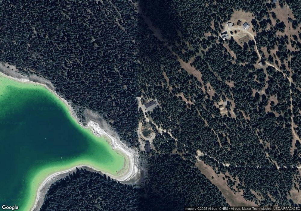
Map
Nearby Homes
- 434 Kettlehorn Dr N
- 776 Summerville Ln
- 2801 Us Highway 93 S
- 4964 Us Highway 93 S
- 6470 U S 93
- NHN Hillandale
- 109 Coffee Dr
- 89 Grassy Loop
- 180 Grassy Loop
- 138 Grassy Loop
- 132 Grassy Loop
- 151 Coffee Dr
- Nhn Ray Flanagan Ln
- 397 Malama Aina Rd
- 560 Riding High Dr
- 1537 Pomeroy Trail
- 125 Mossy Rock Rd N
- Nhn Aspen Glen Rd
- Lot 3 Aspen Glen Rd
- Nhn Tobacco Rd
- LOT 3 Rock Lake Estates
- NHN Forest Service 3683 Rd
- 717 Rocky Rd
- Lot 4 Rock Lake Estates
- Tbd Rock Creek Estate Lot 4
- Nhn Banks Draw
- Nhn Lot 4 Prairie View Estates N
- Nhn Lot 3 Prairie View Estates N
- 593 Rocky Rd
- Lot 39 Morningside Trail
- Lot 43 Morningside Trail
- Lot 44 Morningside Trail
- 208 Bridgeway Cir
- 267 Canada Dr
- Nhn Bridgeway Cir
- 269 Canada Dr
- Lot 1 Canada Dr
- Unknown Canada Dr
- NHN Lost Rock Lot #5 Rd
- NHN Lost Rock Sub #1 Rd
Your Personal Tour Guide
Ask me questions while you tour the home.