595 Shuler Branch Rd Ethridge, TN 38456
Estimated Value: $452,000 - $674,403
--
Bed
2
Baths
384
Sq Ft
$1,467/Sq Ft
Est. Value
About This Home
This home is located at 595 Shuler Branch Rd, Ethridge, TN 38456 and is currently estimated at $563,202, approximately $1,466 per square foot. 595 Shuler Branch Rd is a home located in Giles County with nearby schools including Richland Elementary School and Richland School.
Ownership History
Date
Name
Owned For
Owner Type
Purchase Details
Closed on
Dec 13, 2007
Sold by
Workman Dewey Arnold
Bought by
Douglass Darby T
Current Estimated Value
Purchase Details
Closed on
May 3, 1990
Bought by
Gilbert James Cornell
Purchase Details
Closed on
Sep 7, 1989
Bought by
Williams Ada M
Purchase Details
Closed on
Jan 1, 1980
Bought by
Gilbert Cornell
Create a Home Valuation Report for This Property
The Home Valuation Report is an in-depth analysis detailing your home's value as well as a comparison with similar homes in the area
Home Values in the Area
Average Home Value in this Area
Purchase History
| Date | Buyer | Sale Price | Title Company |
|---|---|---|---|
| Douglass Darby T | $26,700 | -- | |
| Workman Dewey Arnold | $5,500 | -- | |
| Douglass Darby T | $370,000 | -- | |
| Gilbert James Cornell | -- | -- | |
| Williams Ada M | -- | -- | |
| Gilbert Cornell | $50,100 | -- |
Source: Public Records
Tax History Compared to Growth
Tax History
| Year | Tax Paid | Tax Assessment Tax Assessment Total Assessment is a certain percentage of the fair market value that is determined by local assessors to be the total taxable value of land and additions on the property. | Land | Improvement |
|---|---|---|---|---|
| 2025 | $1,662 | $83,650 | $0 | $0 |
| 2024 | $1,662 | $83,650 | $28,275 | $55,375 |
| 2023 | $1,662 | $83,650 | $28,275 | $55,375 |
| 2022 | $1,662 | $83,650 | $28,275 | $55,375 |
| 2021 | $1,693 | $59,925 | $21,275 | $38,650 |
| 2020 | $1,693 | $59,925 | $21,275 | $38,650 |
| 2019 | $802 | $59,925 | $21,275 | $38,650 |
| 2018 | $802 | $59,925 | $21,275 | $38,650 |
| 2017 | $802 | $28,400 | $21,275 | $7,125 |
| 2016 | $738 | $24,850 | $17,550 | $7,300 |
| 2015 | $689 | $24,850 | $17,550 | $7,300 |
| 2014 | $689 | $24,857 | $0 | $0 |
Source: Public Records
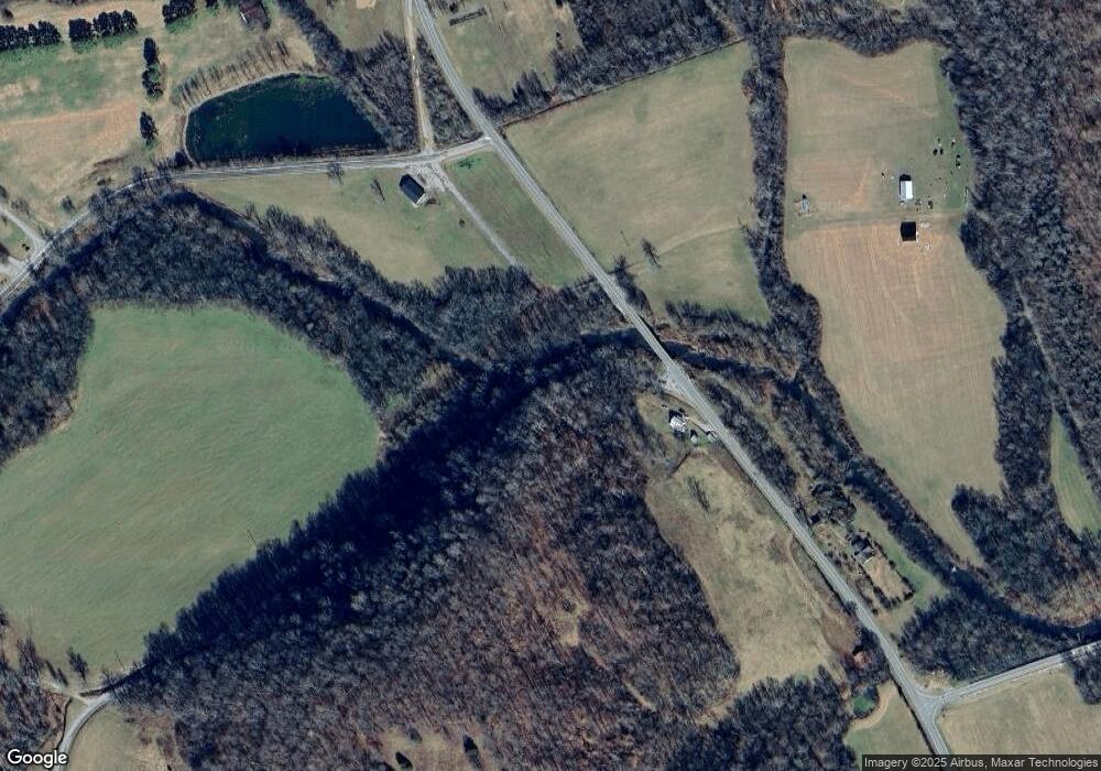
Map
Nearby Homes
- 13581 Campbellsville Rd
- 2270 Shuler Branch Rd
- 2270 Schuler Branch Rd
- 2346 Rhea Branch Rd
- 2338 Rhea Branch Rd
- 0 Campbellsville Rd
- 0 Powdermill Bridge Rd
- 1344 Cut Off Rd
- 340 Delta Queen Cove
- 9710 Campbellsville Rd
- 9714 Campbellsville Rd
- 9718 Campbellsville Rd
- 9724 Campbellsville Rd
- 9728 Campbellsville Rd
- 9734 Campbellsville Rd
- 9706 Campbellsville Rd
- 9720 Campbellsville Rd
- 9730 Campbellsville Rd
- 965 Flag Springs Rd
- 16700 Campbellsville Rd
- 3527 Shuler Branch Rd
- 500 Shuler Branch Rd
- 651 Shuler Branch Rd
- 506 Shuler Branch Rd
- 490 Factory Creek Rd
- 490 Factory Creek Rd
- 584 Factory Creek Rd
- 624 Factory Creek Rd
- 540 Factory Creek Rd
- 13110 Campbellsville Rd
- 12639 Campbellsville Rd
- 137 Factory Creek Rd
- 331 Joe Daniel Rd
- 380 Factory Creek Rd
- 1051 Shuler Branch Rd
- 13135 Campbellsville Rd
- 12673 Campbellsville Rd
- 12639 Campbellsville Rd
- 0 Factory Creek Rd
- 13447 Campbellsville Rd