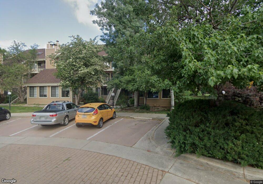
5950 Gunbarrel Ave Unit B Boulder, CO 80301
Gunbarrel NeighborhoodEstimated Value: $415,000 - $462,000
2
Beds
2
Baths
883
Sq Ft
$492/Sq Ft
Est. Value
About This Home
This home is located at 5950 Gunbarrel Ave Unit B, Boulder, CO 80301 and is currently estimated at $434,260, approximately $491 per square foot. 5950 Gunbarrel Ave Unit B is a home located in Boulder County with nearby schools including Crest View Elementary School, Centennial Middle School, and Boulder High School.
Ownership History
Date
Name
Owned For
Owner Type
Purchase Details
Closed on
May 11, 2005
Sold by
Shafizadeh Jamshid
Bought by
Shahizadeh Mahshid
Current Estimated Value
Purchase Details
Closed on
Dec 30, 2004
Sold by
Miller Juaneta L
Bought by
Shafizadeh Jamshid
Purchase Details
Closed on
Jun 1, 1992
Bought by
Shahizadeh Mahshid
Purchase Details
Closed on
Dec 1, 1983
Bought by
Shahizadeh Mahshid
Purchase Details
Closed on
Oct 20, 1983
Bought by
Shahizadeh Mahshid
Create a Home Valuation Report for This Property
The Home Valuation Report is an in-depth analysis detailing your home's value as well as a comparison with similar homes in the area
Home Values in the Area
Average Home Value in this Area
Purchase History
| Date | Buyer | Sale Price | Title Company |
|---|---|---|---|
| Shahizadeh Mahshid | -- | -- | |
| Shafizadeh Jamshid | $180,000 | -- | |
| Shahizadeh Mahshid | $79,000 | -- | |
| Shahizadeh Mahshid | $79,000 | -- | |
| Shahizadeh Mahshid | -- | -- |
Source: Public Records
Tax History Compared to Growth
Tax History
| Year | Tax Paid | Tax Assessment Tax Assessment Total Assessment is a certain percentage of the fair market value that is determined by local assessors to be the total taxable value of land and additions on the property. | Land | Improvement |
|---|---|---|---|---|
| 2025 | $2,544 | $29,863 | -- | $29,863 |
| 2024 | $2,544 | $29,863 | -- | $29,863 |
| 2023 | $2,502 | $27,296 | -- | $30,981 |
| 2022 | $2,522 | $25,666 | $0 | $25,666 |
| 2021 | $2,405 | $26,405 | $0 | $26,405 |
| 2020 | $2,312 | $25,097 | $0 | $25,097 |
| 2019 | $2,276 | $25,097 | $0 | $25,097 |
| 2018 | $2,021 | $22,010 | $0 | $22,010 |
| 2017 | $1,961 | $24,334 | $0 | $24,334 |
| 2016 | $1,588 | $17,241 | $0 | $17,241 |
| 2015 | $1,509 | $14,543 | $0 | $14,543 |
| 2014 | $1,278 | $14,543 | $0 | $14,543 |
Source: Public Records
Map
Nearby Homes
- 4839 White Rock Cir Unit D
- 5932 Gunbarrel Ave Unit E
- 4819 White Rock Cir Unit C
- 4799 White Rock Cir Unit D
- 4775 White Rock Cir Unit B
- 5918 Gunbarrel Ave Unit B
- 5904 Gunbarrel Ave Unit B
- 5914 Gunbarrel Ave Unit F
- 4763 White Rock Cir Unit A
- 4767 White Rock Cir Unit D
- 4749 White Rock Cir Unit D
- 5920 Gunbarrel Ave Unit B
- 5920 Gunbarrel Ave Unit D
- 4705 Spine Rd Unit C
- 6110 Habitat Dr Unit 2
- 4670 White Rock Cir Unit 1
- 4658 White Rock Cir Unit 5
- 4650 White Rock Cir Unit 12
- 5900 Brandywine Ct
- 6213 Willow Ln
- 5950 Gunbarrel Ave Unit E
- 5950 Gunbarrel Ave Unit D
- 5950 Gunbarrel Ave Unit C
- 5950 Gunbarrel Ave Unit A
- 5948 Gunbarrel Ave Unit F
- 5948 Gunbarrel Ave Unit E
- 5948 Gunbarrel Ave Unit D
- 5948 Gunbarrel Ave Unit C
- 5948 Gunbarrel Ave Unit B
- 5948 Gunbarrel Ave Unit A
- 5948 Gunbarrel Ave
- 5950 Gunbarrel Ave
- 5946 Gunbarrel Ave Unit 5946 E
- 5946 Gunbarrel Ave Unit F
- 5946 Gunbarrel Ave Unit E
- 5946 Gunbarrel Ave Unit D
- 5946 Gunbarrel Ave Unit C
- 5946 Gunbarrel Ave Unit B
- 5946 Gunbarrel Ave Unit A
- 5946 Gunbarrel Ave