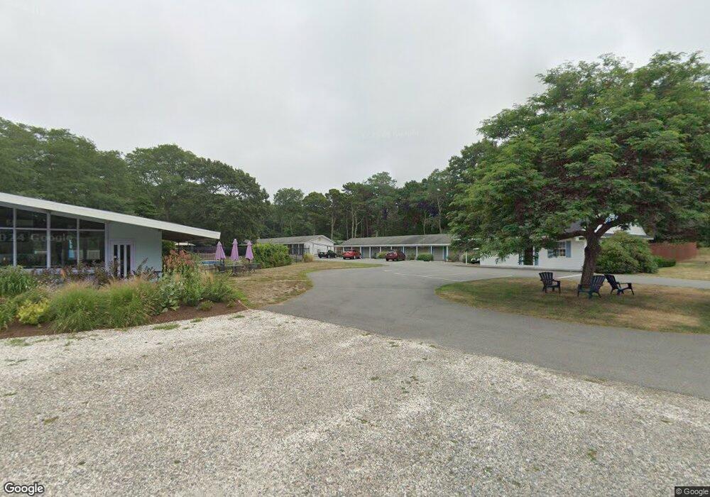
5950 State Hwy Eastham, MA 2642
Studio
--
Bath
2,325
Sq Ft
235,180
Sq Ft
About This Home
This home is located at 5950 State Hwy, Eastham, MA 2642. 5950 State Hwy is a home located in Barnstable County with nearby schools including Eastham Elementary School, Nauset Regional Middle School, and Nauset Regional High School.
Ownership History
Date
Name
Owned For
Owner Type
Purchase Details
Closed on
Apr 12, 2012
Sold by
Blue Dolphin Inn Inc
Bought by
Blue Dolphin Acq Llc
Purchase Details
Closed on
May 29, 1992
Sold by
Blue Dolphin Assoc Lp
Bought by
Blue Dolphin Inn Inc
Home Financials for this Owner
Home Financials are based on the most recent Mortgage that was taken out on this home.
Original Mortgage
$1,000,000
Interest Rate
8.7%
Mortgage Type
Purchase Money Mortgage
Create a Home Valuation Report for This Property
The Home Valuation Report is an in-depth analysis detailing your home's value as well as a comparison with similar homes in the area
Home Values in the Area
Average Home Value in this Area
Purchase History
| Date | Buyer | Sale Price | Title Company |
|---|---|---|---|
| Blue Dolphin Acq Llc | $1,450,000 | -- | |
| Blue Dolphin Inn Inc | $883,000 | -- |
Source: Public Records
Mortgage History
| Date | Status | Borrower | Loan Amount |
|---|---|---|---|
| Previous Owner | Blue Dolphin Inn Inc | $1,000,000 |
Source: Public Records
Tax History
| Year | Tax Paid | Tax Assessment Tax Assessment Total Assessment is a certain percentage of the fair market value that is determined by local assessors to be the total taxable value of land and additions on the property. | Land | Improvement |
|---|---|---|---|---|
| 2025 | $14,685 | $1,904,700 | $649,800 | $1,254,900 |
| 2024 | $13,196 | $1,882,400 | $630,900 | $1,251,500 |
| 2023 | $13,420 | $1,853,600 | $617,300 | $1,236,300 |
| 2022 | $14,408 | $1,679,200 | $550,800 | $1,128,400 |
| 2021 | $15,132 | $1,648,400 | $535,000 | $1,113,400 |
| 2020 | $14,758 | $1,692,400 | $545,900 | $1,146,500 |
| 2019 | $13,826 | $1,675,900 | $545,900 | $1,130,000 |
| 2018 | $13,647 | $1,634,400 | $530,100 | $1,104,300 |
| 2017 | $12,872 | $1,629,400 | $521,100 | $1,108,300 |
| 2016 | $12,048 | $1,619,400 | $517,200 | $1,102,200 |
| 2015 | $11,486 | $1,617,700 | $512,200 | $1,105,500 |
Source: Public Records
Map
Nearby Homes
- 49 Village Ln
- 100 Gigi Ln
- 46 Spring Brook Rd
- 5470 State Hwy
- 18 Jay Dee Ln
- 340 Salt Works Rd
- 20 Oak Rd
- 10 Bradford Ln
- 157 Brownell Rd
- 255 Massasoit Rd
- 85 Huckleberry Ln
- 245 Nauset Light Beach Rd
- 135 Nauset Light Beach Rd
- 25 Forrest Ave
- 82 Old Orchard Rd
- 315 Candlewood Dr
- 300 School House Rd
- 70 Deerfield Ln
- 600 Kingsbury Beach Rd
- 95 Old County Rd
- 5950 State Hwy Unit 50
- 5950 State Hwy Unit 46
- 5950 State Hwy Unit 45
- 5950 State Hwy Unit 43
- 5950 State Hwy Unit 44
- 5950 State Hwy Unit 47
- 5950 State Hwy Unit 48
- 5950 State Hwy Unit 42
- 5950 State Hwy Unit 49
- 5950 State Hwy Unit 41
- 144 Oakwood Rd
- 141 Oakwood Rd
- 142 Oakwood Rd
- 143 Oakwood Rd
- 5960 State Hwy
- 90 Village Ln
- 139 Oakwood Rd
- 80 Village Ln
- 8 Leaf Ln
- 140 Oakwood Rd
Your Personal Tour Guide
Ask me questions while you tour the home.