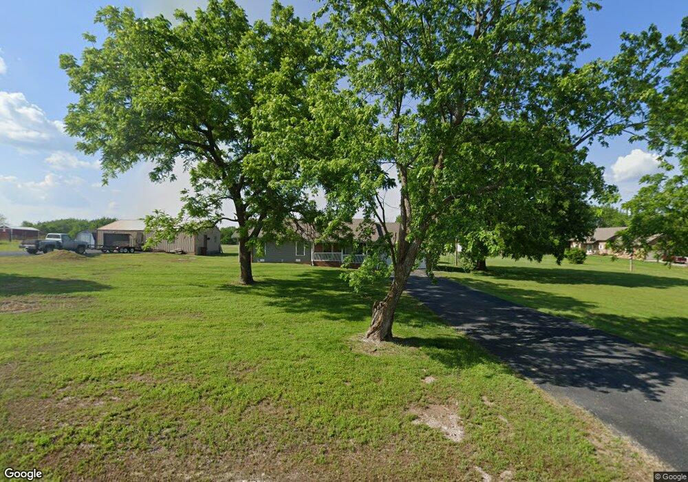
5951 Leawood Dr Willard, MO 65781
Estimated Value: $262,688 - $320,000
3
Beds
2
Baths
1,270
Sq Ft
$228/Sq Ft
Est. Value
About This Home
This home is located at 5951 Leawood Dr, Willard, MO 65781 and is currently estimated at $289,672, approximately $228 per square foot. 5951 Leawood Dr is a home located in Greene County with nearby schools including Willard East Elementary School, Willard Intermediate School North, and Willard High School.
Ownership History
Date
Name
Owned For
Owner Type
Purchase Details
Closed on
Dec 18, 2023
Sold by
George Carden Llc
Bought by
Slone Steven W
Current Estimated Value
Purchase Details
Closed on
Jul 24, 2009
Sold by
George Carden Llc
Bought by
Slone Steven W
Purchase Details
Closed on
May 13, 2009
Sold by
Us Bank National Assn
Bought by
George Carden Llc
Purchase Details
Closed on
Jan 29, 2009
Sold by
Yearwood Michael G
Bought by
U S Bank Na
Purchase Details
Closed on
Feb 1, 2006
Sold by
Yearwood Michael G and Yearwood Susanne I
Bought by
Yearwood Michael G
Home Financials for this Owner
Home Financials are based on the most recent Mortgage that was taken out on this home.
Original Mortgage
$112,000
Interest Rate
7.44%
Mortgage Type
Assumption
Create a Home Valuation Report for This Property
The Home Valuation Report is an in-depth analysis detailing your home's value as well as a comparison with similar homes in the area
Home Values in the Area
Average Home Value in this Area
Purchase History
| Date | Buyer | Sale Price | Title Company |
|---|---|---|---|
| Slone Steven W | -- | None Listed On Document | |
| Slone Steven W | $148,000 | None Available | |
| George Carden Llc | -- | None Available | |
| U S Bank Na | $95,200 | None Available | |
| Yearwood Michael G | -- | None Available |
Source: Public Records
Mortgage History
| Date | Status | Borrower | Loan Amount |
|---|---|---|---|
| Previous Owner | Yearwood Michael G | $112,000 |
Source: Public Records
Tax History Compared to Growth
Tax History
| Year | Tax Paid | Tax Assessment Tax Assessment Total Assessment is a certain percentage of the fair market value that is determined by local assessors to be the total taxable value of land and additions on the property. | Land | Improvement |
|---|---|---|---|---|
| 2025 | $1,184 | $25,500 | $9,960 | $15,540 |
| 2024 | $1,184 | $20,580 | $5,930 | $14,650 |
| 2023 | $1,180 | $20,580 | $5,930 | $14,650 |
| 2022 | $1,068 | $19,080 | $5,930 | $13,150 |
| 2021 | $1,067 | $19,080 | $5,930 | $13,150 |
| 2020 | $1,024 | $17,980 | $5,930 | $12,050 |
| 2019 | $1,018 | $17,980 | $5,930 | $12,050 |
| 2018 | $917 | $16,020 | $5,930 | $10,090 |
| 2017 | $910 | $16,000 | $5,930 | $10,070 |
| 2016 | $904 | $16,000 | $5,930 | $10,070 |
| 2015 | $897 | $16,000 | $5,930 | $10,070 |
| 2014 | $904 | $16,000 | $5,930 | $10,070 |
Source: Public Records
Map
Nearby Homes
- 7181 N Farm Road 105
- 403 E Wright St
- 000 Kime St
- 99 Kime St
- 5275 W Farm Road 82
- 6276 N Alan Ave
- 6227 Alan Ave
- 206 South St
- 108 W Robberson St
- 209 Sparrow Ln
- 110 Deer Run
- 206 Cherry Ln
- 458 Preserve Dr
- 197 Meadowlark
- 307 Wren Rd
- 463 Baird Ct
- 4914 W Farm Road 82
- 490 Lennox St
- 506 S Gauge St
- 791 Saratoga Rd
- 5951 W Farm Road 74
- 5988 W Farm Road 74
- 5936 W Farm Road 74
- 5990 W Farm Road 74
- 5909 W Farm Road 74
- 5993 W Farm Road 74
- 6530 N Farm Road 105
- 6082 W Farm Road 74
- 6418 N Farm Road 105
- 6596 N Farm Road 105
- 6380 N Farm Road 105
- 0 N Farm Road 105 Unit 10802156
- Tbd N Farm Road 105
- 0 N Farm Road 105
- Tract #4 N Farm Road 105
- Tract #1 N Farm Road 105
- Tract #2 N Farm Road 105
- 6342 N Farm Road 105
- 6493 N Farm Road 105
- 6274 N Farm Road 105