59545 203rd St Mankato, MN 56001
Estimated Value: $464,000 - $1,013,162
4
Beds
3
Baths
1,790
Sq Ft
$384/Sq Ft
Est. Value
About This Home
This home is located at 59545 203rd St, Mankato, MN 56001 and is currently estimated at $686,791, approximately $383 per square foot. 59545 203rd St is a home located in Blue Earth County with nearby schools including St. Clair Elementary School and St. Clair Secondary School.
Ownership History
Date
Name
Owned For
Owner Type
Purchase Details
Closed on
Dec 24, 2008
Sold by
Schwein Louis K and Schwein Susan
Bought by
Schwein Douglas J and Schwein Andrea M
Current Estimated Value
Purchase Details
Closed on
Feb 15, 2007
Sold by
Schweim Louis K and Schweim Susan
Bought by
Schweim Douglas J and Schweim Audra M
Create a Home Valuation Report for This Property
The Home Valuation Report is an in-depth analysis detailing your home's value as well as a comparison with similar homes in the area
Home Values in the Area
Average Home Value in this Area
Purchase History
| Date | Buyer | Sale Price | Title Company |
|---|---|---|---|
| Schwein Douglas J | $70,000 | -- | |
| Schweim Douglas J | $70,000 | -- |
Source: Public Records
Mortgage History
| Date | Status | Borrower | Loan Amount |
|---|---|---|---|
| Closed | Schweim Douglas J | -- |
Source: Public Records
Tax History Compared to Growth
Tax History
| Year | Tax Paid | Tax Assessment Tax Assessment Total Assessment is a certain percentage of the fair market value that is determined by local assessors to be the total taxable value of land and additions on the property. | Land | Improvement |
|---|---|---|---|---|
| 2025 | $6,050 | $893,400 | $278,400 | $615,000 |
| 2024 | $6,050 | $813,900 | $298,100 | $515,800 |
| 2023 | $5,906 | $825,600 | $287,200 | $538,400 |
| 2022 | $6,044 | $742,000 | $247,900 | $494,100 |
| 2021 | $4,740 | $660,800 | $238,200 | $422,600 |
| 2020 | $4,190 | $581,800 | $242,000 | $339,800 |
| 2019 | $4,076 | $581,800 | $242,000 | $339,800 |
| 2018 | $3,760 | $557,800 | $232,500 | $325,300 |
| 2017 | $3,384 | $545,200 | $242,000 | $303,200 |
| 2016 | $3,324 | $521,000 | $262,900 | $258,100 |
| 2015 | $31 | $516,200 | $272,400 | $243,800 |
| 2014 | $3,548 | $198,400 | $198,400 | $0 |
Source: Public Records
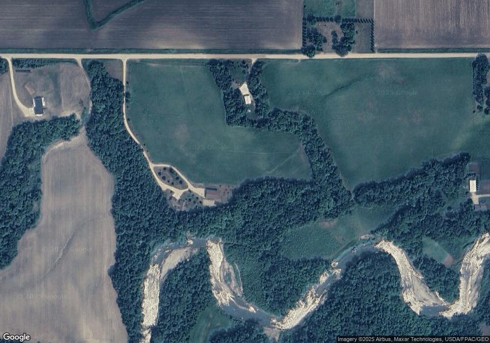
Map
Nearby Homes
- XXX 602nd Ave
- 602nd Avenue
- 510 River Hills Rd
- 58560 Kirkwood Rd
- 205 Peregrine Ave
- 121 Hawk Ave
- 309 Falcon Run
- 306 Falcon Run
- 101 Hawk Ave
- 60451 211th St
- 21xxx 594th Ave
- 21xxx 594th Ave Unit co rd 86 or ktoe rd
- 409 Owl Ln
- 0 Tbd Oak Dr
- 220 220 Connie Ln
- 532 Le Sueur Ave
- 106 106 E Connie Ln Unit 106 Connie Lane E
- 528 Linda Dr
- 104 Blace Ave
- 105 105 Gray Fox Path
- 59633 203rd St
- 59521 203rd St
- 20098 597th Ln
- 20029 597th Ln
- 20288 Lotus Cir
- 0 203rd St Unit 7007145
- 20012 597th Ln
- 59769 203rd St
- 59420 203rd St
- 19961 597th Ln
- 20265 Lotus Cir
- 20108 599th Ave
- 20280 Lotus Cir
- 20268 Lotus Cir
- 20270 Lotus Cir
- 59285 203rd St
- 59344 203rd St
- 20278 Lotus Cir
- 59311 203rd St
- 59454 199th St