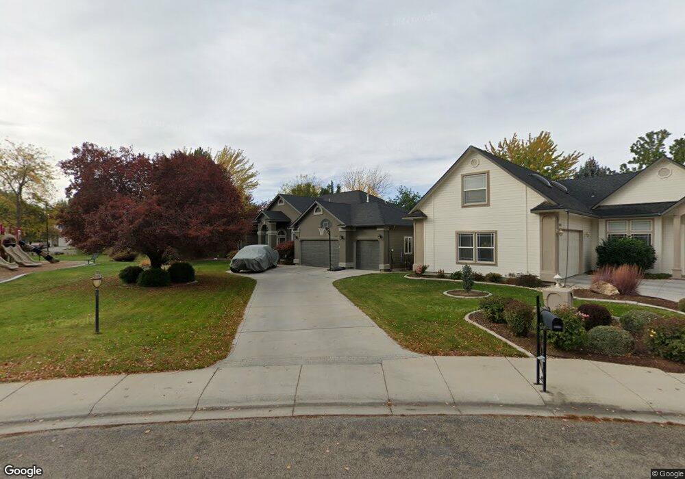
5955 N Heathrow Way Boise, ID 83713
West Boise NeighborhoodEstimated Value: $545,000 - $613,226
4
Beds
3
Baths
2,072
Sq Ft
$286/Sq Ft
Est. Value
About This Home
This home is located at 5955 N Heathrow Way, Boise, ID 83713 and is currently estimated at $591,557, approximately $285 per square foot. 5955 N Heathrow Way is a home located in Ada County with nearby schools including River Valley Elementary School, Heritage Middle School, and Rocky Mountain High School.
Ownership History
Date
Name
Owned For
Owner Type
Purchase Details
Closed on
Nov 1, 2000
Sold by
Renwood Homes Inc
Bought by
Meck Jason M and Meck Heather E
Current Estimated Value
Home Financials for this Owner
Home Financials are based on the most recent Mortgage that was taken out on this home.
Original Mortgage
$169,600
Outstanding Balance
$62,583
Interest Rate
7.9%
Mortgage Type
Purchase Money Mortgage
Estimated Equity
$528,974
Purchase Details
Closed on
Jul 21, 2000
Sold by
Yorgason Yorgason J and Yorgason Marilyn
Bought by
Renwood Homes Inc
Create a Home Valuation Report for This Property
The Home Valuation Report is an in-depth analysis detailing your home's value as well as a comparison with similar homes in the area
Home Values in the Area
Average Home Value in this Area
Purchase History
| Date | Buyer | Sale Price | Title Company |
|---|---|---|---|
| Meck Jason M | -- | Alliance Title & Escrow Corp | |
| Renwood Homes Inc | -- | Alliance Title & Escrow Corp |
Source: Public Records
Mortgage History
| Date | Status | Borrower | Loan Amount |
|---|---|---|---|
| Open | Meck Jason M | $169,600 |
Source: Public Records
Tax History Compared to Growth
Tax History
| Year | Tax Paid | Tax Assessment Tax Assessment Total Assessment is a certain percentage of the fair market value that is determined by local assessors to be the total taxable value of land and additions on the property. | Land | Improvement |
|---|---|---|---|---|
| 2025 | $2,559 | $550,600 | -- | -- |
| 2024 | $2,399 | $510,400 | -- | -- |
| 2023 | $2,399 | $468,200 | $0 | $0 |
| 2022 | $2,993 | $566,800 | $0 | $0 |
| 2021 | $2,689 | $430,500 | $0 | $0 |
| 2020 | $2,441 | $343,800 | $0 | $0 |
| 2019 | $2,881 | $324,400 | $0 | $0 |
| 2018 | $2,650 | $286,100 | $0 | $0 |
| 2017 | $2,406 | $258,000 | $0 | $0 |
| 2016 | $2,286 | $241,200 | $0 | $0 |
| 2015 | $2,082 | $228,700 | $0 | $0 |
| 2012 | -- | $180,200 | $0 | $0 |
Source: Public Records
Map
Nearby Homes
- 6099 N Heathrow Way
- 14469 W Guinness Dr
- 14435 W Kensington Ct
- 14551 W Barclay St
- 5674 N Heathrow Way
- 6238 N Royal Park Ave
- 2231 E Elmsprings Ln
- 1990 E Townline Way
- 5545 N Rothmans Ave
- 5488 N Mendelson Ave
- 5788 N Graham Ave
- 14186 W Chadford Dr
- 1775 E Dunwoody Ct
- 2064 E Mozart St
- 5282 N Schumann Ave
- 1440 E Azan St
- 1399 W Newfield Dr
- 5167 N Rothmans Ave
- 5174 N Rothmans Ave
- 3278 S Whitepost Way
- 5979 N Heathrow Way
- 14560 W Kensington Ct
- 16628 N Heathrow Way
- 5997 N Heathrow Way
- 5998 N Heathrow Way
- 6013 N Heathrow Way
- 14563 W Kensington Ct
- 5924 N Stafford Ln
- 2350 E Commander Ln
- 5948 N Stafford Ln
- 6014 N Stafford Place
- 14522 W Kensington Ct
- 6014 N Heathrow Way
- 14559 W Kensington Ct
- 5900 N Stafford Ln
- 6035 N Heathrow Way
- 14497 W Guinness Dr
- 6032 N Stafford Place
- 14498 W Guinness Dr
- 5658 N Stafford Place