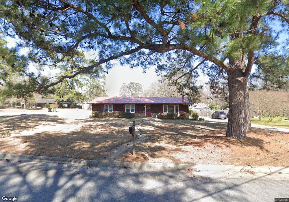
5958 Dearborn Ave Columbus, GA 31909
North Columbus NeighborhoodEstimated Value: $190,171 - $225,000
2
Beds
3
Baths
1,686
Sq Ft
$123/Sq Ft
Est. Value
About This Home
This home is located at 5958 Dearborn Ave, Columbus, GA 31909 and is currently estimated at $206,543, approximately $122 per square foot. 5958 Dearborn Ave is a home located in Muscogee County with nearby schools including Waddell Elementary School, Midland Middle School, and Shaw High School.
Ownership History
Date
Name
Owned For
Owner Type
Purchase Details
Closed on
Sep 30, 2016
Sold by
Blunier Joshua J and Blunier Tracy E
Bought by
Dietz Patrick and Dietz Katherine
Current Estimated Value
Home Financials for this Owner
Home Financials are based on the most recent Mortgage that was taken out on this home.
Original Mortgage
$118,808
Outstanding Balance
$94,607
Interest Rate
3.25%
Mortgage Type
FHA
Estimated Equity
$111,936
Create a Home Valuation Report for This Property
The Home Valuation Report is an in-depth analysis detailing your home's value as well as a comparison with similar homes in the area
Home Values in the Area
Average Home Value in this Area
Purchase History
| Date | Buyer | Sale Price | Title Company |
|---|---|---|---|
| Dietz Patrick | $121,000 | -- |
Source: Public Records
Mortgage History
| Date | Status | Borrower | Loan Amount |
|---|---|---|---|
| Open | Dietz Patrick | $118,808 |
Source: Public Records
Tax History
| Year | Tax Paid | Tax Assessment Tax Assessment Total Assessment is a certain percentage of the fair market value that is determined by local assessors to be the total taxable value of land and additions on the property. | Land | Improvement |
|---|---|---|---|---|
| 2025 | $1,301 | $62,356 | $10,336 | $52,020 |
| 2024 | $1,299 | $62,356 | $10,336 | $52,020 |
| 2023 | $613 | $62,356 | $10,336 | $52,020 |
| 2022 | $1,355 | $52,428 | $10,336 | $42,092 |
| 2021 | $1,348 | $46,408 | $10,336 | $36,072 |
| 2020 | $1,349 | $46,408 | $10,336 | $36,072 |
| 2019 | $1,355 | $46,408 | $10,336 | $36,072 |
| 2018 | $1,355 | $46,408 | $10,336 | $36,072 |
| 2017 | $1,361 | $46,408 | $10,336 | $36,072 |
| 2016 | $2,273 | $55,103 | $5,027 | $50,076 |
| 2015 | $1,414 | $55,103 | $5,027 | $50,076 |
| 2014 | $1,417 | $55,103 | $5,027 | $50,076 |
| 2013 | -- | $55,103 | $5,027 | $50,076 |
Source: Public Records
Map
Nearby Homes
- 6100 Stony Creek Dr
- 4017 Shade Valley Dr
- 5240 Spinnaker Ct
- 6502 Tidewater Ct
- 6236 Olde Towne Dr
- 6528 Yellow Stone Ct
- 6016 Warm Springs Ct
- 5045 Old Post Rd
- 7101 Cross Tie Dr
- 5042 Foxfire Dr
- 4847 Warm Springs Rd
- 5741 Eastside Dr
- 6215 Parker Dr
- 5912 Big Oak Dr
- 5041 Montego Dr
- 5422 Brookview Dr
- 6003 Morningside Dr
- 6421 Lemans Ln
- 4657 Bondale Dr
- 4802 Basswood Dr
- 4952 Stonegate Dr
- 5948 Dearborn Ave
- 5990 Highpoint Dr
- 4960 Stonegate Dr
- 4951 Stonegate Dr
- 5936 Dearborn Ave
- 4943 Stonegate Dr
- 4959 Stonegate Dr
- 5982 Highpoint Dr
- 5012 Stonegate Dr
- 5937 Dearborn Ave
- 4963 Stonegate Dr
- 5020 Stonegate Dr
- 4937 Fornof Rd
- 5932 Dearborn Ave
- 5983 Highpoint Dr
- 5978 Highpoint Dr
- 5028 Stonegate Dr
- 5981 Bishop Dr
- 5001 Stonegate Dr
Your Personal Tour Guide
Ask me questions while you tour the home.