596 Atwell Hill Rd Wentworth, NH 03282
Estimated Value: $386,000 - $469,000
3
Beds
3
Baths
1,521
Sq Ft
$277/Sq Ft
Est. Value
About This Home
This home is located at 596 Atwell Hill Rd, Wentworth, NH 03282 and is currently estimated at $421,495, approximately $277 per square foot. 596 Atwell Hill Rd is a home with nearby schools including Wentworth Elementary School and Plymouth Regional High School.
Ownership History
Date
Name
Owned For
Owner Type
Purchase Details
Closed on
Sep 7, 2004
Sold by
Glennon Thomas F Est
Bought by
Hicks Brian and Hicks Susan
Current Estimated Value
Home Financials for this Owner
Home Financials are based on the most recent Mortgage that was taken out on this home.
Original Mortgage
$132,000
Interest Rate
6.01%
Mortgage Type
Purchase Money Mortgage
Create a Home Valuation Report for This Property
The Home Valuation Report is an in-depth analysis detailing your home's value as well as a comparison with similar homes in the area
Home Values in the Area
Average Home Value in this Area
Purchase History
| Date | Buyer | Sale Price | Title Company |
|---|---|---|---|
| Hicks Brian | $165,000 | -- |
Source: Public Records
Mortgage History
| Date | Status | Borrower | Loan Amount |
|---|---|---|---|
| Open | Hicks Brian | $115,095 | |
| Closed | Hicks Brian | $132,000 |
Source: Public Records
Tax History Compared to Growth
Tax History
| Year | Tax Paid | Tax Assessment Tax Assessment Total Assessment is a certain percentage of the fair market value that is determined by local assessors to be the total taxable value of land and additions on the property. | Land | Improvement |
|---|---|---|---|---|
| 2024 | $3,915 | $176,356 | $44,156 | $132,200 |
| 2023 | $4,446 | $176,360 | $44,160 | $132,200 |
| 2022 | $3,580 | $177,050 | $44,850 | $132,200 |
| 2021 | $3,608 | $177,026 | $44,826 | $132,200 |
| 2020 | $3,733 | $144,909 | $40,709 | $104,200 |
| 2019 | $3,298 | $142,054 | $40,654 | $101,400 |
| 2018 | $3,541 | $142,249 | $40,849 | $101,400 |
| 2017 | $3,647 | $142,124 | $40,724 | $101,400 |
| 2016 | $3,205 | $141,945 | $40,545 | $101,400 |
| 2015 | $3,173 | $151,753 | $39,553 | $112,200 |
| 2013 | $3,253 | $151,666 | $47,466 | $104,200 |
Source: Public Records
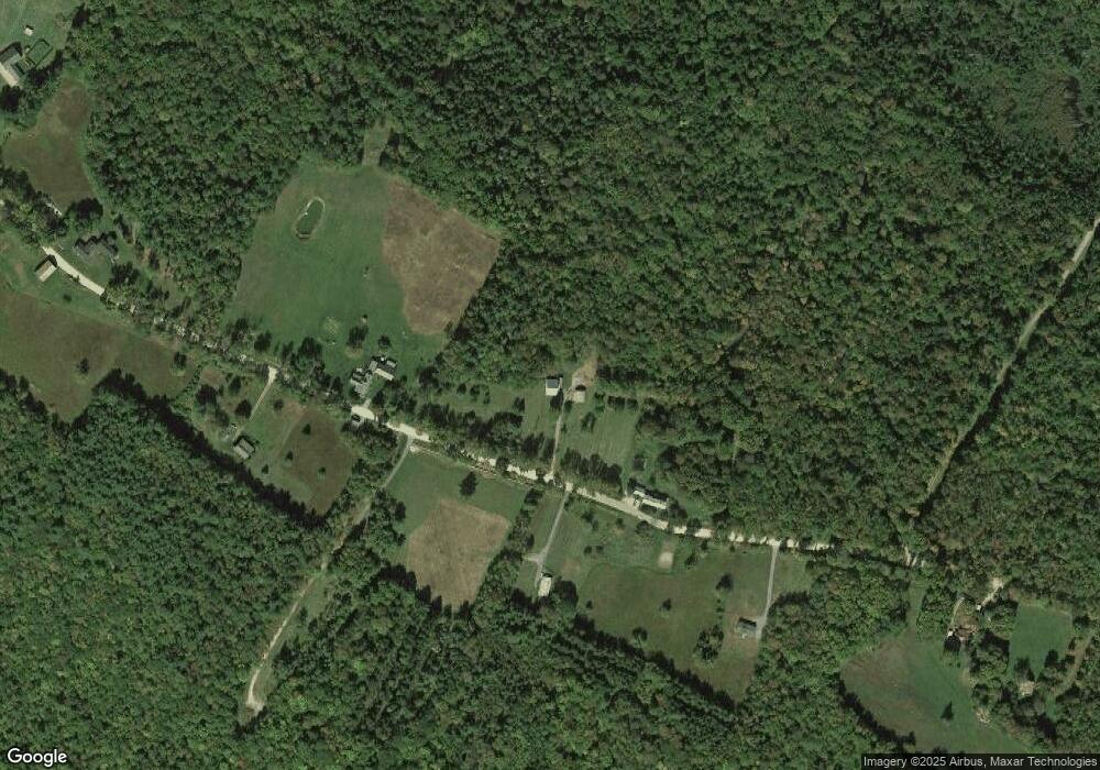
Map
Nearby Homes
- 968 Mount Moosilauke Hwy
- Lot #80 Beech Hill Rd
- 1222 Gov Meldrim Thomson Scenic Hwy
- 38 Pond Brook Rd
- Lot 5 E Side Rd
- 0 E Side Rd Unit 7,4,5,7
- 39 Ellsworth Hill Rd
- 74 Lake Tarleton Rd
- 300 New Hampshire 25
- 446 New Hampshire 25
- 0 Saunders Hill Rd Unit 10
- 529 New Hampshire 25
- 0 Piermont Heights Rd Unit 18 5054998
- 39 Bullseye Curve Rd
- 0 New Hampshire 25 Unit 19 5062790
- Off Weeks Crossing
- 0 Piermont Heights Rd Unit 25
- 387 Cheever Rd
- 35 Indian Pond Rd
- 133 Quinttown Rd
- 586 Atwell Hill Rd
- 618 Atwell Hill Rd
- 595 Atwell Hill Rd
- 666 Atwell Hill Rd
- 573 Atwell Hill Rd
- 625 Atwell Hill Rd
- 650 Atwell Hill Rd
- 549 Atwell Hill Rd
- 668 Atwell Hill Rd
- 660 Atwell Hill Rd
- 535 Atwell Hill Rd
- 152 Cape Moonshine Rd
- 180 Cape Moonshine Rd
- 504 Atwell Hill Rd
- 120 Cape Moonshine Rd
- 531 Atwell Hill Rd
- 94 Cape Moonshine Rd
- 159 Cape Moonshine Rd
- 231 Cape Moonshine Rd
- 23 Chase Rd