596 Concord End Rd Hillsborough, NH 03244
Hillsboro NeighborhoodEstimated Value: $402,839 - $472,000
3
Beds
2
Baths
1,882
Sq Ft
$239/Sq Ft
Est. Value
About This Home
This home is located at 596 Concord End Rd, Hillsborough, NH 03244 and is currently estimated at $449,710, approximately $238 per square foot. 596 Concord End Rd is a home located in Hillsborough County with nearby schools including Hillsboro-Deering Elementary School and Hillsboro-Deering High School.
Ownership History
Date
Name
Owned For
Owner Type
Purchase Details
Closed on
May 3, 1999
Sold by
Levesque William R and Levesque Gail L
Bought by
Casparro James A and Casparro Melissa K
Current Estimated Value
Home Financials for this Owner
Home Financials are based on the most recent Mortgage that was taken out on this home.
Original Mortgage
$118,405
Outstanding Balance
$30,366
Interest Rate
6.95%
Mortgage Type
Purchase Money Mortgage
Estimated Equity
$419,344
Create a Home Valuation Report for This Property
The Home Valuation Report is an in-depth analysis detailing your home's value as well as a comparison with similar homes in the area
Home Values in the Area
Average Home Value in this Area
Purchase History
| Date | Buyer | Sale Price | Title Company |
|---|---|---|---|
| Casparro James A | $118,500 | -- |
Source: Public Records
Mortgage History
| Date | Status | Borrower | Loan Amount |
|---|---|---|---|
| Open | Casparro James A | $49,000 | |
| Open | Casparro James A | $118,405 |
Source: Public Records
Tax History Compared to Growth
Tax History
| Year | Tax Paid | Tax Assessment Tax Assessment Total Assessment is a certain percentage of the fair market value that is determined by local assessors to be the total taxable value of land and additions on the property. | Land | Improvement |
|---|---|---|---|---|
| 2024 | $7,164 | $214,240 | $63,940 | $150,300 |
| 2023 | $6,688 | $214,206 | $63,906 | $150,300 |
| 2022 | $5,727 | $214,580 | $64,280 | $150,300 |
| 2021 | $6,206 | $214,580 | $64,280 | $150,300 |
| 2020 | $15,818 | $214,598 | $64,298 | $150,300 |
| 2018 | $5,373 | $182,134 | $43,734 | $138,400 |
| 2017 | $3,090 | $181,882 | $43,482 | $138,400 |
| 2016 | $262 | $190,918 | $51,018 | $139,900 |
| 2015 | $5,547 | $190,960 | $51,060 | $139,900 |
| 2014 | $5,263 | $190,957 | $51,057 | $139,900 |
| 2013 | $5,358 | $190,935 | $64,235 | $126,700 |
Source: Public Records
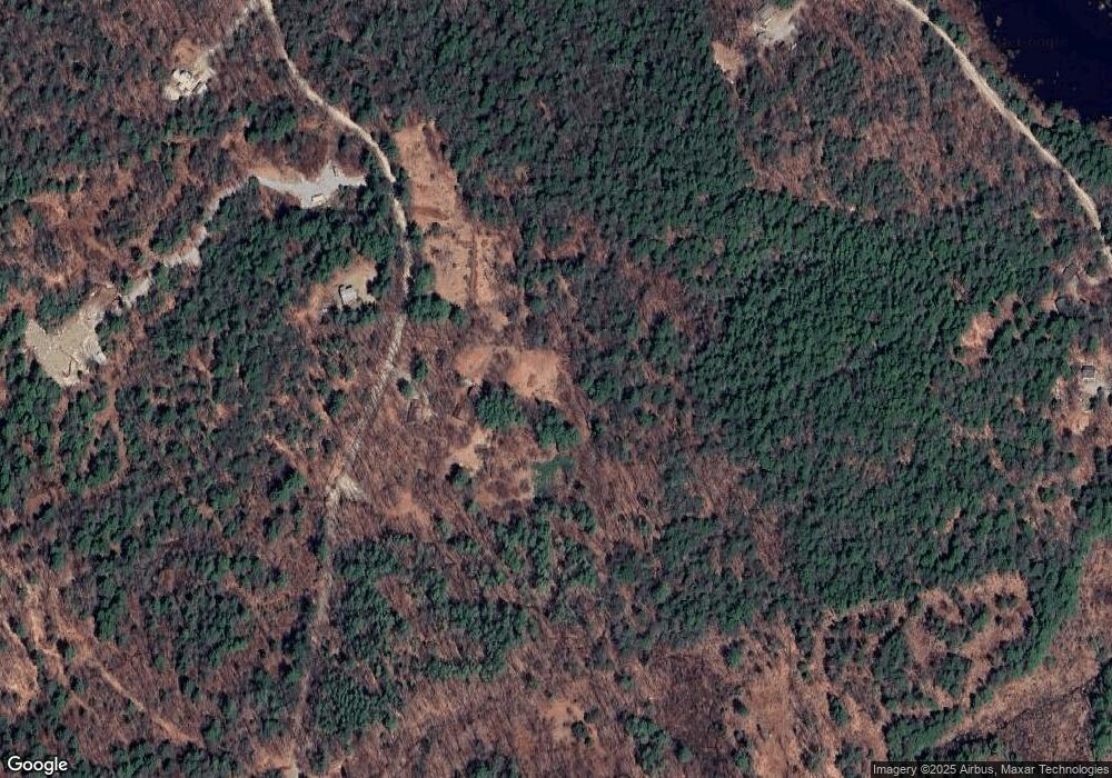
Map
Nearby Homes
- 0 Spring St Unit 178 4855470
- 0 Spring St Unit 178 4855319
- 37 Autumn Rd
- 17 Autumn Rd
- 44 Huntington Dr
- 9 Hillside St
- 11 Hillside St
- 32 Deerpoint Dr
- 10 Melody Ln
- 0 Huntington Dr Unit 373 4855140
- 0 Huntington Dr Unit 307 4855146
- 17 Gould Pond Rd
- 32-33 Red Fox Crossing
- 0 Raccoon Alley Unit 86 4855473
- Lot 265 Midnight Walk
- 98 Emerald Dr
- 24 Raccoon Alley
- 19 Boulder Pass
- 0 Kings Row Unit 151 4855040
- 6 Birch Tree Ln