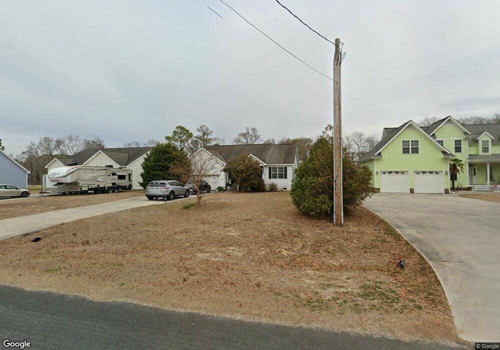
596 Pearson Cir Newport, NC 28570
Estimated Value: $351,153 - $442,000
3
Beds
2
Baths
1,654
Sq Ft
$240/Sq Ft
Est. Value
About This Home
This home is located at 596 Pearson Cir, Newport, NC 28570 and is currently estimated at $397,288, approximately $240 per square foot. 596 Pearson Cir is a home located in Carteret County with nearby schools including Bogue Sound Elementary School, Broad Creek Middle School, and Croatan High School.
Ownership History
Date
Name
Owned For
Owner Type
Purchase Details
Closed on
Jan 26, 2010
Sold by
Regions Bank
Bought by
Ashworth Elizabeth G
Current Estimated Value
Home Financials for this Owner
Home Financials are based on the most recent Mortgage that was taken out on this home.
Original Mortgage
$100,000
Outstanding Balance
$65,884
Interest Rate
4.94%
Mortgage Type
New Conventional
Estimated Equity
$331,404
Purchase Details
Closed on
Aug 13, 2009
Sold by
Ashley Turner Building Co Inc
Bought by
Regions Bank
Purchase Details
Closed on
Oct 3, 2006
Sold by
Moore George W
Bought by
Ashley Turner Building Co Inc
Create a Home Valuation Report for This Property
The Home Valuation Report is an in-depth analysis detailing your home's value as well as a comparison with similar homes in the area
Home Values in the Area
Average Home Value in this Area
Purchase History
| Date | Buyer | Sale Price | Title Company |
|---|---|---|---|
| Ashworth Elizabeth G | $175,000 | None Available | |
| Regions Bank | $320,440 | None Available | |
| Ashley Turner Building Co Inc | $85,000 | None Available |
Source: Public Records
Mortgage History
| Date | Status | Borrower | Loan Amount |
|---|---|---|---|
| Open | Ashworth Elizabeth G | $100,000 |
Source: Public Records
Tax History Compared to Growth
Tax History
| Year | Tax Paid | Tax Assessment Tax Assessment Total Assessment is a certain percentage of the fair market value that is determined by local assessors to be the total taxable value of land and additions on the property. | Land | Improvement |
|---|---|---|---|---|
| 2025 | $1,103 | $329,665 | $59,445 | $270,220 |
| 2024 | $890 | $180,030 | $43,560 | $136,470 |
| 2023 | $964 | $180,030 | $43,560 | $136,470 |
| 2022 | $946 | $180,030 | $43,560 | $136,470 |
| 2021 | $910 | $180,030 | $43,560 | $136,470 |
| 2020 | $918 | $180,030 | $43,560 | $136,470 |
| 2019 | $912 | $187,784 | $43,560 | $144,224 |
| 2017 | $912 | $187,784 | $43,560 | $144,224 |
| 2016 | $912 | $187,784 | $43,560 | $144,224 |
| 2015 | $856 | $187,784 | $43,560 | $144,224 |
| 2014 | $719 | $195,626 | $48,300 | $147,326 |
Source: Public Records
Map
Nearby Homes
- 600 Pearson Cir
- 128 Creek Bluff Rd
- 124 Creek Bluff Rd
- 114 Creek Bluff Rd
- 107 Creek Bluff Rd
- 264 Pearson Cir
- 444 Pearson Cir
- 111 Key Ln W
- 108 Henderson Dr
- 204 Junius Dr
- 3387 Highway 24
- 109 Pelican Dr
- 151 Charles St
- 680 Broad Creek Loop Rd
- 275 Salty Shores Rd
- 112 C St
- 240 Salt Meadow Ln
- 147 Salty Shores Point
- 142 Sunny Point Ln
- 312 Rollingwood Dr
- 588 Pearson Cir
- 580 Pearson Cir
- 124 Creek Bluff
- 595 Pearson Cir
- 601 Pearson Cir
- 574 Pearson Cir
- 568 Pearson Cir
- 130 Creek Bluff
- 123 Creek Bluff
- 115 Creek Bluff
- 560 Pearson Cir
- 625 Pearson Cir
- 563 Pearson Cir
- 129 Creek Bluff
- 550 Pearson Cir
- 114 Creek Bluff
- 131 Creek Bluff
- 546 Pearson Cir
- 134 Creek Bluff Rd
- 135 Creek Bluff