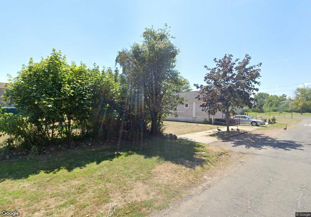
596 Quincy Ave Staten Island, NY 10305
Ocean Breeze NeighborhoodEstimated Value: $68,000 - $723,000
3
Beds
2
Baths
1,980
Sq Ft
$273/Sq Ft
Est. Value
About This Home
This home is located at 596 Quincy Ave, Staten Island, NY 10305 and is currently estimated at $541,447, approximately $273 per square foot. 596 Quincy Ave is a home located in Richmond County with nearby schools including P.S. 052 John C. Thompson, Is 2 George L Egbert, and New Dorp High School.
Ownership History
Date
Name
Owned For
Owner Type
Purchase Details
Closed on
Feb 9, 2016
Sold by
Santiano Amapola and Santiano Joselito
Bought by
Housing Trust Fund Corporation
Current Estimated Value
Purchase Details
Closed on
May 4, 2007
Sold by
Brs Developers Llc
Bought by
Santiano Joselito and Santiano Amapola
Home Financials for this Owner
Home Financials are based on the most recent Mortgage that was taken out on this home.
Original Mortgage
$335,200
Interest Rate
6.18%
Mortgage Type
New Conventional
Create a Home Valuation Report for This Property
The Home Valuation Report is an in-depth analysis detailing your home's value as well as a comparison with similar homes in the area
Home Values in the Area
Average Home Value in this Area
Purchase History
| Date | Buyer | Sale Price | Title Company |
|---|---|---|---|
| Housing Trust Fund Corporation | -- | Fidelity Natl Title Ins Co | |
| Santiano Joselito | $424,866 | None Available |
Source: Public Records
Mortgage History
| Date | Status | Borrower | Loan Amount |
|---|---|---|---|
| Previous Owner | Santiano Joselito | $335,200 |
Source: Public Records
Tax History Compared to Growth
Tax History
| Year | Tax Paid | Tax Assessment Tax Assessment Total Assessment is a certain percentage of the fair market value that is determined by local assessors to be the total taxable value of land and additions on the property. | Land | Improvement |
|---|---|---|---|---|
| 2025 | -- | $5,880 | $4,579 | $1,301 |
| 2024 | -- | $4,800 | $4,320 | $480 |
| 2023 | $0 | $4,320 | $4,320 | $0 |
| 2022 | $0 | $4,500 | $4,500 | $0 |
| 2021 | $0 | $4,620 | $4,620 | $0 |
| 2020 | $3,265 | $4,140 | $4,140 | $0 |
| 2019 | $3,265 | $3,600 | $3,600 | $0 |
| 2018 | $0 | $3,879 | $3,581 | $298 |
| 2017 | $0 | $3,660 | $3,600 | $60 |
| 2016 | $3,265 | $17,880 | $5,160 | $12,720 |
| 2015 | $2,472 | $16,980 | $4,320 | $12,660 |
| 2014 | $2,472 | $16,980 | $4,320 | $12,660 |
Source: Public Records
Map
Nearby Homes
- 762 Seaview Ave
- 0 Quincy Ave
- 431 Patterson Ave
- 795 Father Capodanno Blvd
- 797 Father Capodanno Blvd
- 799 Father Capodanno Blvd
- 558 Dongan Hills Ave Unit 14A2
- 568 Dongan Hills Ave Unit 19A1
- 45 Iona St
- 498 Dongan Hills Ave
- 519 Buel Ave
- 517 Buel Ave
- 473 Dongan Hills Ave
- 467 Dongan Hills Ave
- 9 Iroquois St
- 228 Slater Blvd
- 929 Father Capodanno Blvd
- 00 Baden Place
- 0 Baden Place Unit 2503276
- 188 Graham Blvd Unit B
- 600 Quincy Ave
- 602 Quincy Ave
- 708 Liberty Ave
- 604 Quincy Ave
- 606 Quincy Ave
- 712 Liberty Ave
- 714 Liberty Ave
- 713 Buel Ave
- 610 Quincy Ave
- 716 Liberty Ave
- 715 Buel Ave
- 718 Liberty Ave
- 719 Buel Ave
- 720 Liberty Ave
- 721 Buel Ave
- 721 Buel Ave Unit 1
- 578 Quincy Ave
- 722 Liberty Ave
- 723 Buel Ave
- 724 Liberty Ave