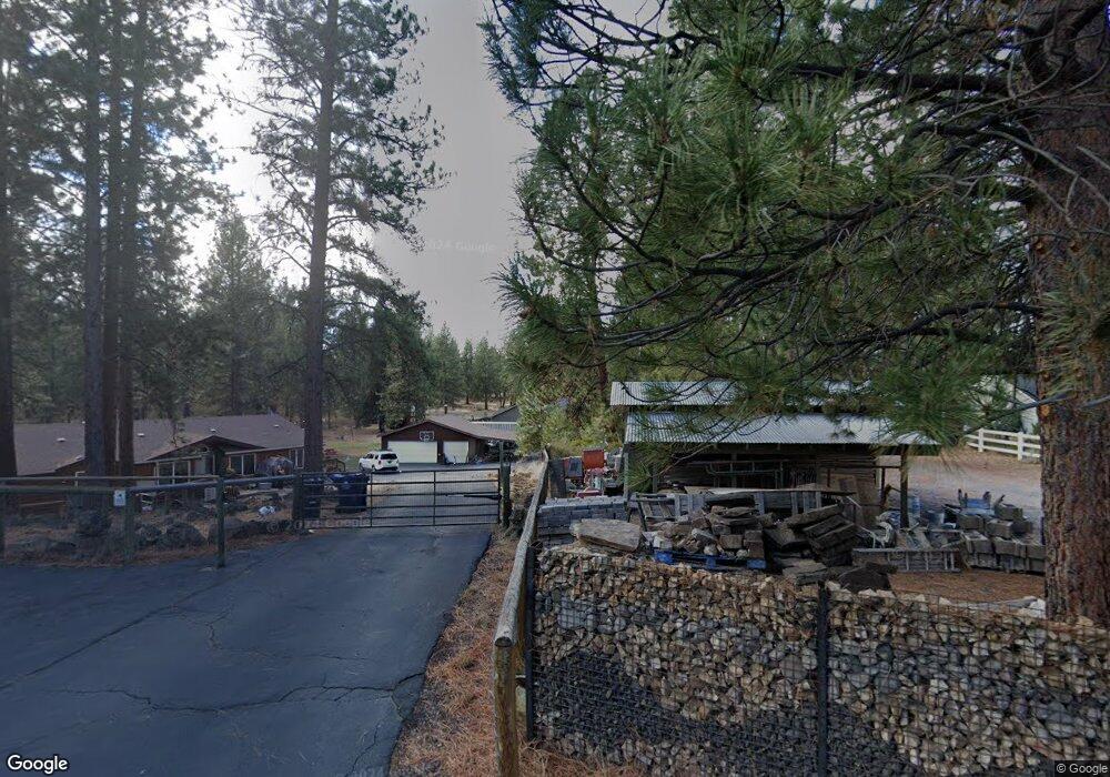
59617 Navajo Cir Bend, OR 97702
Deschutes River Woods NeighborhoodEstimated Value: $789,000 - $877,000
4
Beds
2
Baths
2,046
Sq Ft
$404/Sq Ft
Est. Value
About This Home
This home is located at 59617 Navajo Cir, Bend, OR 97702 and is currently estimated at $827,292, approximately $404 per square foot. 59617 Navajo Cir is a home located in Deschutes County with nearby schools including Elk Meadow Elementary School, High Desert Middle School, and Morning Star Christian School.
Ownership History
Date
Name
Owned For
Owner Type
Purchase Details
Closed on
Dec 8, 2016
Sold by
Mueller Chad
Bought by
Buckley Jason and Buckley Darcy L
Current Estimated Value
Home Financials for this Owner
Home Financials are based on the most recent Mortgage that was taken out on this home.
Original Mortgage
$318,000
Interest Rate
4.32%
Mortgage Type
New Conventional
Purchase Details
Closed on
Jun 13, 2016
Sold by
Shea Michael Edward and Shea Victoria Valvo
Bought by
Mueller Chad
Home Financials for this Owner
Home Financials are based on the most recent Mortgage that was taken out on this home.
Original Mortgage
$295,212
Interest Rate
3.61%
Mortgage Type
Commercial
Purchase Details
Closed on
Aug 14, 2013
Sold by
Hover Darrell R and Snyder Joan P
Bought by
Shea Victoria Valvo and Shea Michae Edward
Create a Home Valuation Report for This Property
The Home Valuation Report is an in-depth analysis detailing your home's value as well as a comparison with similar homes in the area
Home Values in the Area
Average Home Value in this Area
Purchase History
| Date | Buyer | Sale Price | Title Company |
|---|---|---|---|
| Buckley Jason | $468,000 | First American Title | |
| Mueller Chad | $167,500 | Western Title | |
| Shea Victoria Valvo | $140,000 | Amerititle |
Source: Public Records
Mortgage History
| Date | Status | Borrower | Loan Amount |
|---|---|---|---|
| Previous Owner | Buckley Jason | $318,000 | |
| Previous Owner | Mueller Chad | $295,212 |
Source: Public Records
Tax History Compared to Growth
Tax History
| Year | Tax Paid | Tax Assessment Tax Assessment Total Assessment is a certain percentage of the fair market value that is determined by local assessors to be the total taxable value of land and additions on the property. | Land | Improvement |
|---|---|---|---|---|
| 2025 | $4,350 | $285,980 | -- | -- |
| 2024 | $4,165 | $277,660 | -- | -- |
| 2023 | $3,923 | $269,580 | $0 | $0 |
| 2022 | $3,621 | $254,110 | $0 | $0 |
| 2021 | $3,645 | $246,710 | $0 | $0 |
| 2020 | $3,445 | $246,710 | $0 | $0 |
| 2019 | $3,349 | $239,530 | $0 | $0 |
| 2018 | $3,254 | $232,560 | $0 | $0 |
| 2017 | $3,170 | $225,790 | $0 | $0 |
| 2016 | $387 | $31,190 | $0 | $0 |
Source: Public Records
Map
Nearby Homes
- 19413 Piute Cir
- 59773 Cheyenne Rd
- 59895 Cheyenne Rd
- 19275 Cherokee Rd
- 60083 Navajo Rd
- 60092 Minnetonka Ln
- 19344 Kiowa Rd
- 19276 Kiowa Rd
- 19354 Kiowa Rd
- 60026 Turquoise Rd
- 19341 Apache Rd
- 19191 Kiowa Rd
- 60095 Crater Rd
- 60340 Hiawatha Ln
- 60154 Turquoise Rd
- 60214 Agate Rd
- 19434 River Woods Dr
- 19373 Indian Summer Rd
- 60373 Cinder Butte Rd
- 19304 Baker Rd