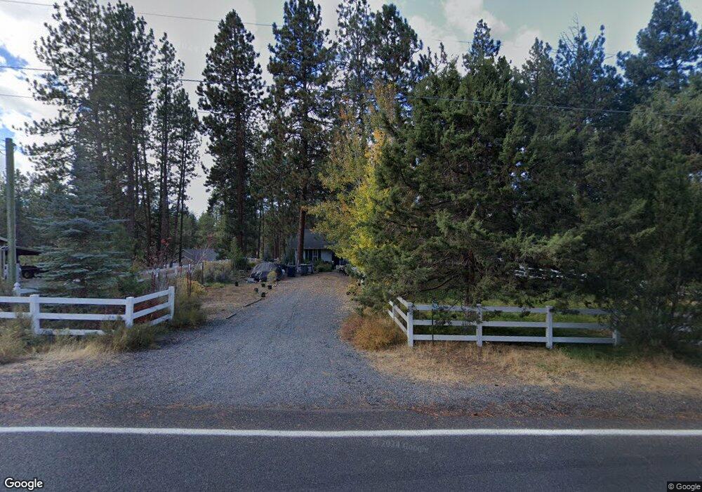
59625 Navajo Cir Bend, OR 97702
Deschutes River Woods NeighborhoodEstimated Value: $533,000 - $632,000
3
Beds
2
Baths
1,578
Sq Ft
$376/Sq Ft
Est. Value
About This Home
This home is located at 59625 Navajo Cir, Bend, OR 97702 and is currently estimated at $593,593, approximately $376 per square foot. 59625 Navajo Cir is a home located in Deschutes County with nearby schools including Elk Meadow Elementary School, High Desert Middle School, and Morning Star Christian School.
Ownership History
Date
Name
Owned For
Owner Type
Purchase Details
Closed on
Sep 20, 2020
Sold by
Mvsgj Support Trust and Schetter Christine
Bought by
Gillespie Jeffries Living Trust and Jeffries
Current Estimated Value
Purchase Details
Closed on
Nov 14, 2011
Sold by
Deutsche Bank National Trust Company
Bought by
Shull Thomas and Schetter Christine
Purchase Details
Closed on
Aug 12, 2011
Sold by
Kuykendall Lance Cavan
Bought by
Deutsche Bank National Trust Company
Purchase Details
Closed on
May 20, 2005
Sold by
Alvarez Karen E
Bought by
Kuykendall Lance Cavan
Home Financials for this Owner
Home Financials are based on the most recent Mortgage that was taken out on this home.
Original Mortgage
$171,000
Interest Rate
7.35%
Mortgage Type
Fannie Mae Freddie Mac
Create a Home Valuation Report for This Property
The Home Valuation Report is an in-depth analysis detailing your home's value as well as a comparison with similar homes in the area
Home Values in the Area
Average Home Value in this Area
Purchase History
| Date | Buyer | Sale Price | Title Company |
|---|---|---|---|
| Gillespie Jeffries Living Trust | -- | None Listed On Document | |
| Gillespie Jeffries Living Trust | -- | None Listed On Document | |
| Shull Thomas | $118,000 | Fidelity Natl Title Co Of Or | |
| Shull Thomas | $118,000 | Fidelity Natl Title Co Of Or | |
| Deutsche Bank National Trust Company | $93,000 | None Available | |
| Deutsche Bank National Trust Company | $93,000 | None Available | |
| Kuykendall Lance Cavan | $190,000 | Western Title & Escrow Co | |
| Kuykendall Lance Cavan | $190,000 | Western Title & Escrow Co |
Source: Public Records
Mortgage History
| Date | Status | Borrower | Loan Amount |
|---|---|---|---|
| Previous Owner | Kuykendall Lance Cavan | $171,000 |
Source: Public Records
Tax History Compared to Growth
Tax History
| Year | Tax Paid | Tax Assessment Tax Assessment Total Assessment is a certain percentage of the fair market value that is determined by local assessors to be the total taxable value of land and additions on the property. | Land | Improvement |
|---|---|---|---|---|
| 2025 | $2,872 | $187,300 | -- | -- |
| 2024 | $2,751 | $181,850 | -- | -- |
| 2023 | $2,592 | $176,560 | $0 | $0 |
| 2022 | $2,394 | $166,430 | $0 | $0 |
| 2021 | $2,410 | $161,590 | $0 | $0 |
| 2020 | $2,279 | $161,590 | $0 | $0 |
| 2019 | $2,217 | $156,890 | $0 | $0 |
| 2018 | $2,154 | $152,330 | $0 | $0 |
| 2017 | $2,099 | $147,900 | $0 | $0 |
| 2016 | $1,998 | $143,600 | $0 | $0 |
Source: Public Records
Map
Nearby Homes
- 19413 Piute Cir
- 59773 Cheyenne Rd
- 59895 Cheyenne Rd
- 19275 Cherokee Rd
- 60083 Navajo Rd
- 60092 Minnetonka Ln
- 19344 Kiowa Rd
- 19276 Kiowa Rd
- 19354 Kiowa Rd
- 19341 Apache Rd
- 60026 Turquoise Rd
- 19191 Kiowa Rd
- 60095 Crater Rd
- 60340 Hiawatha Ln
- 60154 Turquoise Rd
- 60214 Agate Rd
- 19434 River Woods Dr
- 19373 Indian Summer Rd
- 60373 Cinder Butte Rd
- 19304 Baker Rd