5967 Birch St North Branch, MN 55056
Estimated Value: $303,000 - $381,965
3
Beds
2
Baths
1,056
Sq Ft
$339/Sq Ft
Est. Value
About This Home
This home is located at 5967 Birch St, North Branch, MN 55056 and is currently estimated at $358,491, approximately $339 per square foot. 5967 Birch St is a home located in Chisago County with nearby schools including North Branch Middle School, Sunrise River Elementary School, and North Branch Senior High School.
Ownership History
Date
Name
Owned For
Owner Type
Purchase Details
Closed on
Jun 30, 2020
Sold by
Scheele Victoria J and Scheele Zachary J
Bought by
Otto Ross E
Current Estimated Value
Home Financials for this Owner
Home Financials are based on the most recent Mortgage that was taken out on this home.
Original Mortgage
$239,900
Outstanding Balance
$212,846
Interest Rate
3.13%
Estimated Equity
$145,645
Purchase Details
Closed on
Oct 19, 2018
Sold by
Buck Robert D and Buck Connie R
Bought by
Wistrcill Victoria
Home Financials for this Owner
Home Financials are based on the most recent Mortgage that was taken out on this home.
Original Mortgage
$267,073
Interest Rate
4.5%
Mortgage Type
FHA
Create a Home Valuation Report for This Property
The Home Valuation Report is an in-depth analysis detailing your home's value as well as a comparison with similar homes in the area
Home Values in the Area
Average Home Value in this Area
Purchase History
| Date | Buyer | Sale Price | Title Company |
|---|---|---|---|
| Otto Ross E | $289,900 | -- | |
| Wistrcill Victoria | $272,000 | -- |
Source: Public Records
Mortgage History
| Date | Status | Borrower | Loan Amount |
|---|---|---|---|
| Open | Otto Ross E | $239,900 | |
| Closed | Otto Ross E | -- | |
| Previous Owner | Wistrcill Victoria | $267,073 |
Source: Public Records
Tax History Compared to Growth
Tax History
| Year | Tax Paid | Tax Assessment Tax Assessment Total Assessment is a certain percentage of the fair market value that is determined by local assessors to be the total taxable value of land and additions on the property. | Land | Improvement |
|---|---|---|---|---|
| 2023 | $4,400 | $336,100 | $93,900 | $242,200 |
| 2022 | $4,138 | $311,400 | $83,100 | $228,300 |
| 2021 | $3,592 | $273,300 | $0 | $0 |
| 2020 | $3,406 | $242,600 | $67,500 | $175,100 |
| 2019 | $3,270 | $0 | $0 | $0 |
| 2018 | $3,070 | $0 | $0 | $0 |
| 2017 | $2,870 | $0 | $0 | $0 |
| 2016 | $2,474 | $0 | $0 | $0 |
| 2015 | $2,760 | $0 | $0 | $0 |
| 2014 | -- | $155,700 | $0 | $0 |
Source: Public Records
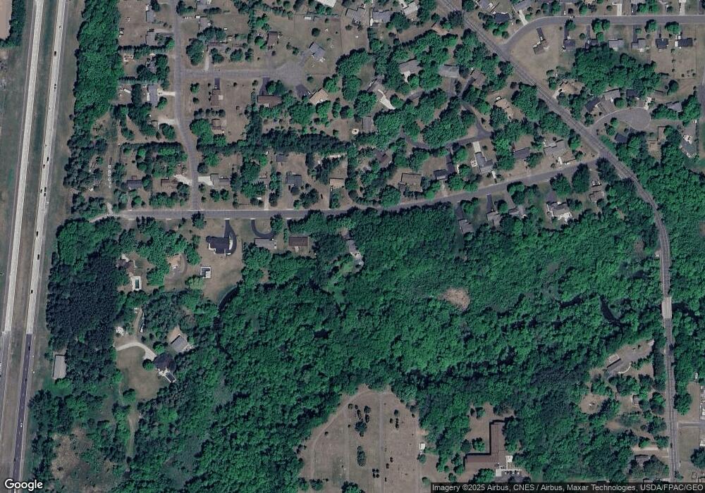
Map
Nearby Homes
- 6231 Red Fox Run
- XXX Ash St
- 5433 389th Trail
- 6072 Chippewa Trail
- 38932 7th Ave
- 38xxx Oakview Ave
- Mayfield Plan at Meadows North
- Foster Plan at Meadows North
- Hubert Plan at Meadows North
- Fox Plan at Meadows North
- Becker Plan at Meadows North
- Mays Plan at Meadows North
- Howard Plan at Meadows North
- Briggs Plan at Meadows North
- 38946 7th Ave
- 38632 Oakview Ave
- TBD 395th St
- XXXXX Maple St
- 5177 389th Trail
- 39744 Fawn Ave