59685 Elm Cir Shadyside, OH 43947
Estimated Value: $218,000 - $369,000
3
Beds
3
Baths
2,520
Sq Ft
$125/Sq Ft
Est. Value
About This Home
This home is located at 59685 Elm Cir, Shadyside, OH 43947 and is currently estimated at $315,087, approximately $125 per square foot. 59685 Elm Cir is a home located in Belmont County with nearby schools including Jefferson Avenue Elementary School, Leona Avenue Middle School, and Shadyside High School.
Ownership History
Date
Name
Owned For
Owner Type
Purchase Details
Closed on
Oct 27, 1995
Sold by
Stupak Theodore J and Stupak Li
Bought by
Stupak Theodore J and Stupak Li
Current Estimated Value
Purchase Details
Closed on
Jan 1, 1986
Sold by
Cook Lester C and Cook Helen E
Bought by
Cook Lester C and Cook Helen E
Create a Home Valuation Report for This Property
The Home Valuation Report is an in-depth analysis detailing your home's value as well as a comparison with similar homes in the area
Purchase History
| Date | Buyer | Sale Price | Title Company |
|---|---|---|---|
| Stupak Theodore J | $15,000 | -- | |
| Cook Lester C | -- | -- |
Source: Public Records
Tax History
| Year | Tax Paid | Tax Assessment Tax Assessment Total Assessment is a certain percentage of the fair market value that is determined by local assessors to be the total taxable value of land and additions on the property. | Land | Improvement |
|---|---|---|---|---|
| 2025 | $3,808 | $108,730 | $6,160 | $102,570 |
| 2024 | $4,012 | $116,270 | $6,160 | $110,110 |
| 2023 | $3,476 | $93,560 | $5,110 | $88,450 |
| 2022 | $3,476 | $93,559 | $5,114 | $88,445 |
| 2021 | $3,456 | $93,597 | $5,110 | $88,487 |
| 2020 | $2,850 | $78,000 | $4,260 | $73,740 |
| 2019 | $2,853 | $78,000 | $4,260 | $73,740 |
| 2018 | $2,963 | $85,540 | $4,260 | $81,280 |
| 2017 | $2,808 | $66,980 | $3,520 | $63,460 |
| 2016 | $2,811 | $66,980 | $3,520 | $63,460 |
| 2015 | $3,239 | $76,740 | $3,520 | $73,220 |
| 2014 | $2,705 | $63,220 | $3,200 | $60,020 |
| 2013 | $2,331 | $63,220 | $3,200 | $60,020 |
Source: Public Records
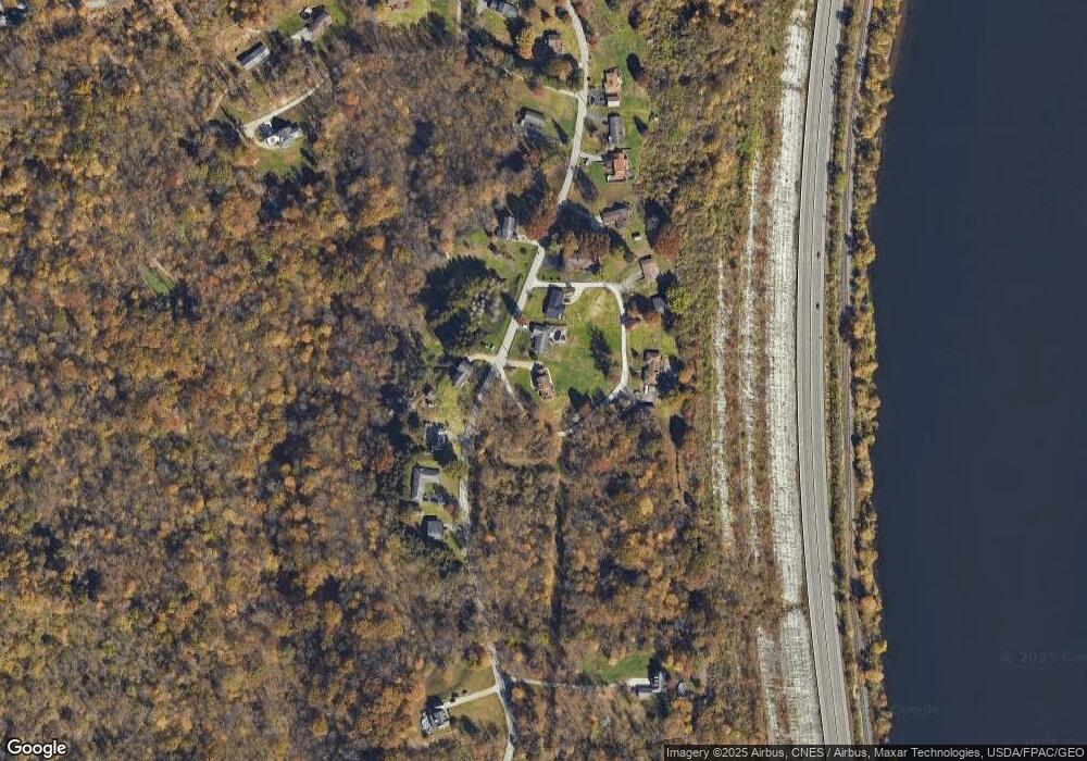
Map
Nearby Homes
- 603 Center Ave
- 0 Reilly Hill Rd Unit 11651485
- 409 Wheeling Ave
- 56612 McGee Rd
- 60830 Shaver Hill Rd
- 0 Glen Dale Heights Rd
- 0 Wegee Ln
- 61060 Webb Heights Rd
- 466 W 45th St
- 4422 Lincoln Ave
- 639 Glen Dale Heights Rd
- 531 W 44th St
- 653 Glen Dale Heights Rd
- 271-REAR W 43rd St
- 4089 Lincoln Ave
- 84 N Highland Ave
- 4011 Central Ave
- 3970 Central Ave
- 3971 Grandview Ave
- 103 Ln
- 59555 Broadview Rd
- 59565 Broadview Rd
- 59738 Elm Cir
- 59536 Broadview Rd
- 59770 Elm Cir
- 59810 Elm Cir
- 59520 Broadview Rd
- 59790 Elm Cir
- 59582 Broadview Rd
- 59500 Broadview Rd
- 59599 Broadview Rd
- 59490 Broadview Rd
- 59617 Broadview Rd
- 59620 Broadview Rd
- 59631 Broadview Rd
- 59641 Broadview Rd
- 59453 Broadview Rd
- 59644 Broadview Rd
- 59634 Broadview Rd
- 59636 Broadview Rd
Your Personal Tour Guide
Ask me questions while you tour the home.