597 E Norris Point Rd La Follette, TN 37766
Estimated Value: $887,000 - $1,743,123
Studio
2
Baths
4,537
Sq Ft
$310/Sq Ft
Est. Value
About This Home
This home is located at 597 E Norris Point Rd, La Follette, TN 37766 and is currently estimated at $1,406,031, approximately $309 per square foot. 597 E Norris Point Rd is a home.
Ownership History
Date
Name
Owned For
Owner Type
Purchase Details
Closed on
Sep 21, 2020
Sold by
Meates S C
Bought by
Berding Gary
Current Estimated Value
Home Financials for this Owner
Home Financials are based on the most recent Mortgage that was taken out on this home.
Original Mortgage
$250,000
Interest Rate
2.9%
Mortgage Type
Commercial
Purchase Details
Closed on
Feb 8, 2007
Sold by
Vincent Larry Alan
Bought by
Meates S C
Purchase Details
Closed on
Feb 21, 2002
Sold by
Carolus Carl
Bought by
Vincent Larry
Purchase Details
Closed on
May 25, 2000
Sold by
Carolus Carl W
Bought by
Roe John
Purchase Details
Closed on
Aug 16, 1994
Bought by
Carolus Carl W and Carolus Kathleen H
Create a Home Valuation Report for This Property
The Home Valuation Report is an in-depth analysis detailing your home's value as well as a comparison with similar homes in the area
Home Values in the Area
Average Home Value in this Area
Purchase History
| Date | Buyer | Sale Price | Title Company |
|---|---|---|---|
| Berding Gary | $299,900 | None Available | |
| Meates S C | $175,000 | -- | |
| Vincent Larry | $105,000 | -- | |
| Roe John | $80,000 | -- | |
| Carolus Carl W | $55,900 | -- |
Source: Public Records
Mortgage History
| Date | Status | Borrower | Loan Amount |
|---|---|---|---|
| Closed | Berding Gary | $250,000 |
Source: Public Records
Tax History
| Year | Tax Paid | Tax Assessment Tax Assessment Total Assessment is a certain percentage of the fair market value that is determined by local assessors to be the total taxable value of land and additions on the property. | Land | Improvement |
|---|---|---|---|---|
| 2025 | $4,717 | $388,000 | $78,400 | $309,600 |
| 2024 | $4,717 | $388,000 | $78,400 | $309,600 |
| 2023 | $4,059 | $196,500 | $41,250 | $155,250 |
| 2022 | $4,059 | $196,500 | $41,250 | $155,250 |
| 2021 | $852 | $41,250 | $41,250 | $0 |
| 2020 | $835 | $41,250 | $41,250 | $0 |
| 2019 | $852 | $41,250 | $41,250 | $0 |
| 2018 | $1,068 | $47,450 | $47,450 | $0 |
| 2017 | $1,068 | $47,450 | $47,450 | $0 |
| 2016 | $1,068 | $47,450 | $47,450 | $0 |
| 2015 | $944 | $47,450 | $47,450 | $0 |
| 2014 | -- | $47,450 | $47,450 | $0 |
| 2013 | -- | $47,450 | $47,450 | $0 |
Source: Public Records
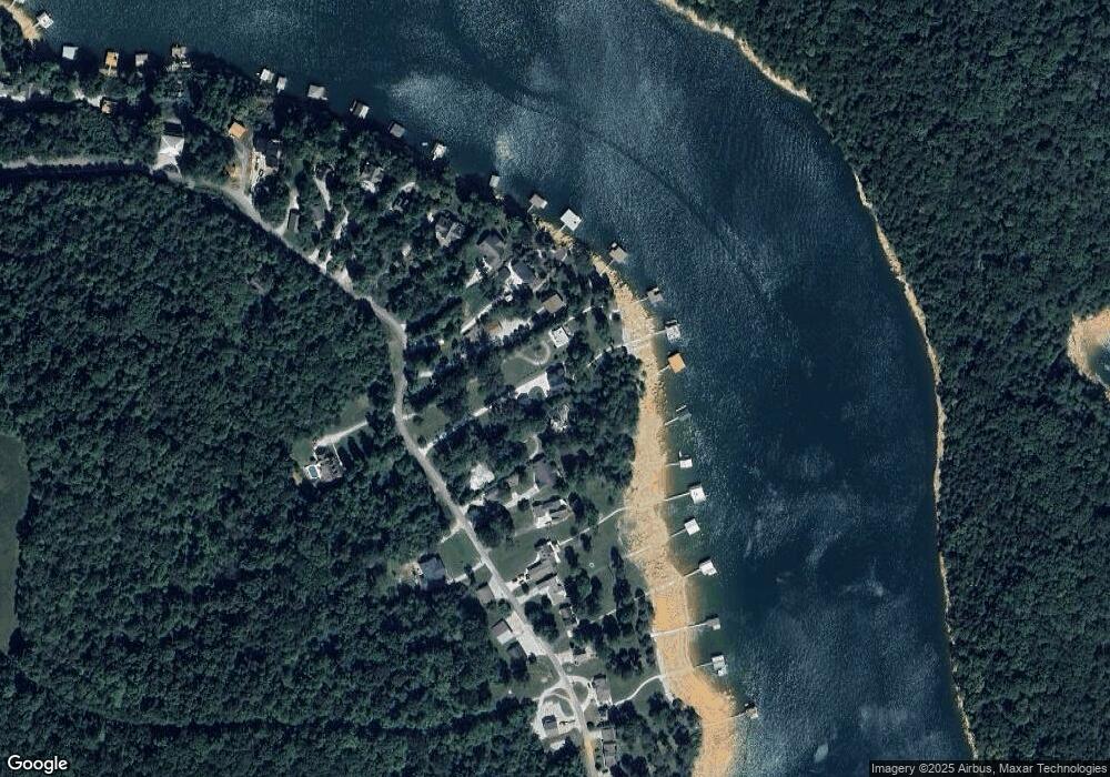
Map
Nearby Homes
- 620 E Norris Point Rd E
- 138 Bethlehem Ln
- 339 Flat Hollow Marina Rd
- 0 Bridle Way Unit 1323079
- 0 Harness Ln Unit 1290886
- 264 Victory Rd
- 0 Saddleridge Unit 310116
- 0 Saddleridge Unit 64-72
- 0 Saddleridge Unit 710361
- Lot 54 Bark Ln
- 40 & 41 Bark Ln
- Lot 172 Saddleridge Dr
- Lot172&173 Saddleridge Dr
- Lot 173 Saddleridge Dr
- 0 White Ln
- Lot 51 Horseshoe Bend
- 51 Horseshoe Bend
- 92 Lot Saddle Ridge Dr
- LOT 71 Saddle Ridge Dr
- 643 Crown Pointe Rd
- 613 E Norris Point Rd
- 591 E Norris Point Rd
- 583 E Norris Point Rd
- 619 E Norris Point Rd
- 0 E Norris Point Lot 15b Rd Unit 1117259
- 625 E Norris Point Rd
- Lot 14b E Norris Pointe Rd
- 573 E Norris Point Rd
- 635 E Norris Point Rd
- 565 E Norris Point Rd
- 545 E Norris Point Rd
- 555 E Norris Point Rd
- 659 E Norris Point Rd
- 590 E Norris Point Rd
- 656 E Norris Point Rd
- 669 E Norris Point Rd
- 529 E Norris Point Rd
- 535 E Norris Point Rd
- 677 E Norris Point Rd
- 695 E Norris Point Rd
Your Personal Tour Guide
Ask me questions while you tour the home.