5970 State Route 762 Ashville, OH 43103
Estimated Value: $362,000 - $480,000
3
Beds
3
Baths
2,052
Sq Ft
$212/Sq Ft
Est. Value
About This Home
This home is located at 5970 State Route 762, Ashville, OH 43103 and is currently estimated at $434,517, approximately $211 per square foot. 5970 State Route 762 is a home located in Pickaway County.
Ownership History
Date
Name
Owned For
Owner Type
Purchase Details
Closed on
Aug 10, 2010
Sold by
Mccathran Ronald Lee and Mccathran Paulette B
Bought by
Mccathran Ronald Lee and Mccathran Paulette B
Current Estimated Value
Purchase Details
Closed on
Nov 30, 2000
Sold by
Aker Irma V
Bought by
Mccathran Ronald L and Mccathran Paulette B
Home Financials for this Owner
Home Financials are based on the most recent Mortgage that was taken out on this home.
Original Mortgage
$35,000
Outstanding Balance
$13,046
Interest Rate
7.86%
Mortgage Type
New Conventional
Estimated Equity
$421,471
Create a Home Valuation Report for This Property
The Home Valuation Report is an in-depth analysis detailing your home's value as well as a comparison with similar homes in the area
Home Values in the Area
Average Home Value in this Area
Purchase History
| Date | Buyer | Sale Price | Title Company |
|---|---|---|---|
| Mccathran Ronald Lee | -- | None Available | |
| Mccathran Ronald L | $185,000 | -- |
Source: Public Records
Mortgage History
| Date | Status | Borrower | Loan Amount |
|---|---|---|---|
| Open | Mccathran Ronald L | $35,000 |
Source: Public Records
Tax History Compared to Growth
Tax History
| Year | Tax Paid | Tax Assessment Tax Assessment Total Assessment is a certain percentage of the fair market value that is determined by local assessors to be the total taxable value of land and additions on the property. | Land | Improvement |
|---|---|---|---|---|
| 2024 | -- | $117,680 | $32,160 | $85,520 |
| 2023 | $4,441 | $117,680 | $32,160 | $85,520 |
| 2022 | $3,455 | $84,100 | $21,460 | $62,640 |
| 2021 | $3,465 | $84,100 | $21,460 | $62,640 |
| 2020 | $3,466 | $84,100 | $21,460 | $62,640 |
| 2019 | $2,859 | $70,220 | $20,560 | $49,660 |
| 2018 | $2,748 | $70,220 | $20,560 | $49,660 |
| 2017 | $2,820 | $70,220 | $20,560 | $49,660 |
| 2016 | $2,736 | $68,000 | $18,330 | $49,670 |
| 2015 | $2,738 | $68,000 | $18,330 | $49,670 |
| 2014 | $2,741 | $68,000 | $18,330 | $49,670 |
| 2013 | $2,877 | $68,610 | $18,330 | $50,280 |
Source: Public Records
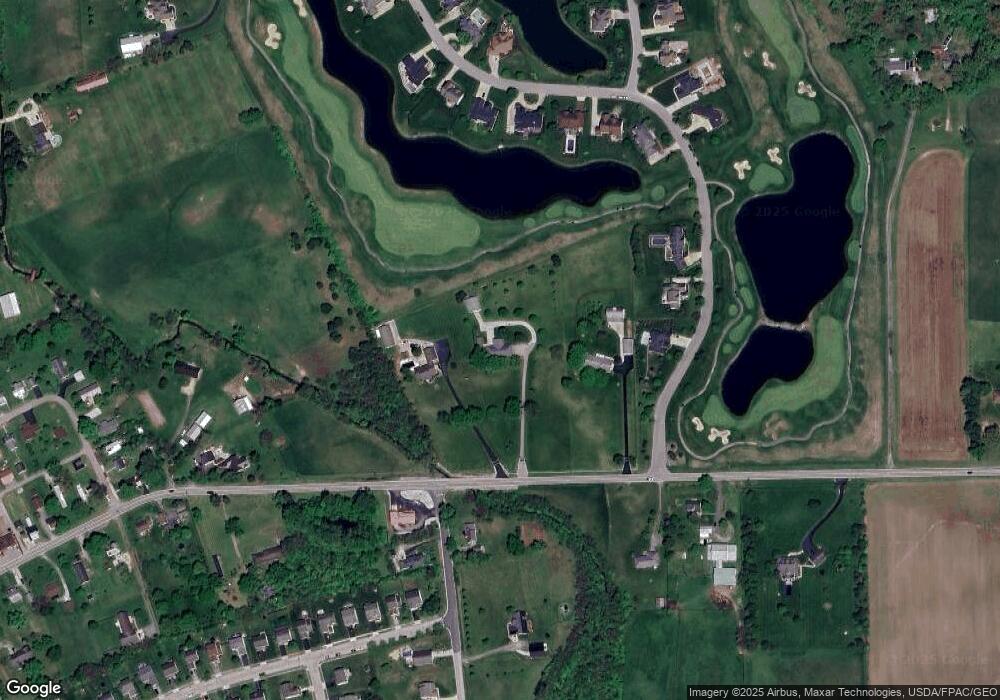
Map
Nearby Homes
- 201 Victorian Dr
- 229 Victorian Dr
- 211 Cavanaugh Dr
- 49 Front St
- 403 Alberta Dr
- 317 Adrien Ct
- 513 Heidish Dr
- 502 Conley Dr
- 500 Walker Pointe Dr
- 486 Creekside Dr
- 45 Genoa Cir
- 55 Genoa Cir
- 10901 Borror Rd Unit 19
- 310 Genoa Rd
- 62 Genoa Cir
- 66 Genoa Cir
- 428 Lockbay Rd
- 56 Chambers Bay Rd
- 294 Shady Hollow Dr
- 47 Front St
- 5982 State Route 762
- 11518 Walker Rd
- 5930 State Route 762
- 11519 Walker Rd
- 5881 State Route 762
- 0 E Scioto St Unit LOT5 2102163
- 0 E Scioto St Unit LOT4 2001611
- 0 E Scioto St
- 11596 Walker Rd
- 102 Edmonds Dr
- 102 Edmonds Dr Unit 1
- 36 E Scioto St
- 104 Edmonds Dr
- 107 Foxfire Blvd
- 106 Edmonds Dr Unit 3
- 106 Edmonds Dr
- 109 Foxfire Blvd
- 5871 State Route 762
- 201 Walker Rd
- 108 Edmonds Dr