5977 N Killian Rd Brainerd, MN 56401
Estimated Value: $352,000 - $435,000
Studio
--
Bath
1,846
Sq Ft
$217/Sq Ft
Est. Value
About This Home
This home is located at 5977 N Killian Rd, Brainerd, MN 56401 and is currently estimated at $400,561, approximately $216 per square foot. 5977 N Killian Rd is a home with nearby schools including Riverside Elementary School, Forestview Middle School, and Brainerd Senior High School.
Ownership History
Date
Name
Owned For
Owner Type
Purchase Details
Closed on
May 29, 2024
Sold by
Derosier Patrick P and Derosier Marla S
Bought by
Derosier Cole J and Derosier Kyla A
Current Estimated Value
Home Financials for this Owner
Home Financials are based on the most recent Mortgage that was taken out on this home.
Original Mortgage
$210,000
Outstanding Balance
$207,396
Interest Rate
7.17%
Mortgage Type
New Conventional
Estimated Equity
$193,165
Purchase Details
Closed on
Nov 14, 2023
Sold by
Derosier Patrick and Derosier Marla
Bought by
Derosier Patrick and Derosier Marla
Purchase Details
Closed on
Aug 14, 2004
Sold by
Derosier Lillian Lillian
Bought by
Derosier Patrick and Derosier Marla
Create a Home Valuation Report for This Property
The Home Valuation Report is an in-depth analysis detailing your home's value as well as a comparison with similar homes in the area
Purchase History
| Date | Buyer | Sale Price | Title Company |
|---|---|---|---|
| Derosier Cole J | $380,000 | None Listed On Document | |
| Derosier Patrick | $500 | None Listed On Document | |
| Derosier Patrick | $520,000 | -- |
Source: Public Records
Mortgage History
| Date | Status | Borrower | Loan Amount |
|---|---|---|---|
| Open | Derosier Cole J | $210,000 |
Source: Public Records
Tax History
| Year | Tax Paid | Tax Assessment Tax Assessment Total Assessment is a certain percentage of the fair market value that is determined by local assessors to be the total taxable value of land and additions on the property. | Land | Improvement |
|---|---|---|---|---|
| 2025 | $1,038 | $378,000 | $124,200 | $253,800 |
| 2024 | $1,038 | $157,000 | $77,300 | $79,700 |
| 2023 | $186 | $87,700 | $87,700 | $0 |
| 2022 | $160 | $91,100 | $91,100 | $0 |
| 2021 | $128 | $60,900 | $60,900 | $0 |
| 2020 | $124 | $62,900 | $62,900 | $0 |
| 2019 | $156 | $59,800 | $59,800 | $0 |
| 2018 | $138 | $59,700 | $59,700 | $0 |
| 2017 | $180 | $45,600 | $45,600 | $0 |
| 2016 | $194 | $53,400 | $53,400 | $0 |
| 2015 | $242 | $64,600 | $64,600 | $0 |
| 2014 | $128 | $66,000 | $66,000 | $0 |
Source: Public Records
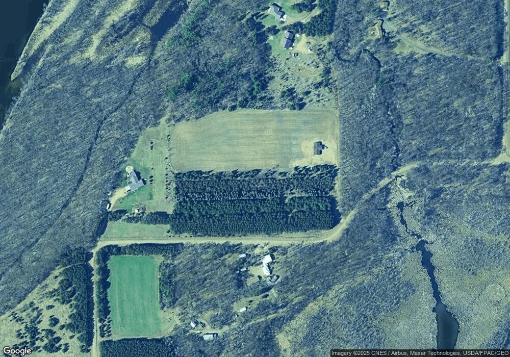
Map
Nearby Homes
- 2849 Chippewa Shores Rd
- TBD 4.38 Acres 13th Ave SW
- 13869 Hardy Lake Rd SW
- 8624 50th Ave
- Tract B Richfield Rd
- Tract C Richfield Rd
- TBD State Highway 371
- 13384 Barnett Rd SW
- 4445 20th St
- 6440 Estate Dr
- TBD Dr
- 6207 Brandon Way
- TBD Brandon Way
- 3717 Sebie Lake Rd
- 6724 Wels Ave
- 6068 Oakdale Rd
- 6876 Wels Ave
- 12770 County 18 SW
- 3630 Independence Rd
- 7066 Wels Ave
Your Personal Tour Guide
Ask me questions while you tour the home.