59777 Broadview Rd Shadyside, OH 43947
Estimated Value: $134,000 - $204,000
2
Beds
1
Bath
576
Sq Ft
$292/Sq Ft
Est. Value
About This Home
This home is located at 59777 Broadview Rd, Shadyside, OH 43947 and is currently estimated at $167,977, approximately $291 per square foot. 59777 Broadview Rd is a home located in Belmont County with nearby schools including Jefferson Avenue Elementary School, Leona Avenue Middle School, and Shadyside High School.
Ownership History
Date
Name
Owned For
Owner Type
Purchase Details
Closed on
May 19, 2015
Sold by
Mckeever Jack N
Bought by
Mckeever Cherann
Current Estimated Value
Purchase Details
Closed on
May 1, 2013
Sold by
Banker Reba
Bought by
Mckeever Jack N and Mckeever Cherann
Purchase Details
Closed on
Jun 5, 2001
Bought by
Banker Alan & Reba Surv
Purchase Details
Closed on
Apr 6, 1994
Bought by
Banker Dorothy
Purchase Details
Closed on
Jan 1, 1986
Sold by
Mcguire Earl M and Mcguire Margaret
Bought by
Mcguire Earl M and Mcguire Margaret
Create a Home Valuation Report for This Property
The Home Valuation Report is an in-depth analysis detailing your home's value as well as a comparison with similar homes in the area
Purchase History
| Date | Buyer | Sale Price | Title Company |
|---|---|---|---|
| Mckeever Cherann | -- | Attorney | |
| Mckeever Jack N | $15,000 | Attorney | |
| Banker Alan & Reba Surv | $11,700 | -- | |
| Banker Dorothy | $35,000 | -- | |
| Mcguire Earl M | -- | -- |
Source: Public Records
Tax History
| Year | Tax Paid | Tax Assessment Tax Assessment Total Assessment is a certain percentage of the fair market value that is determined by local assessors to be the total taxable value of land and additions on the property. | Land | Improvement |
|---|---|---|---|---|
| 2025 | $1,655 | $46,070 | $6,350 | $39,720 |
| 2023 | $1,719 | $45,140 | $5,330 | $39,810 |
| 2022 | $1,719 | $45,140 | $5,334 | $39,806 |
| 2021 | $1,710 | $45,140 | $5,334 | $39,806 |
| 2020 | $1,413 | $37,620 | $4,450 | $33,170 |
| 2019 | $1,415 | $37,620 | $4,450 | $33,170 |
| 2018 | $1,416 | $37,620 | $4,450 | $33,170 |
| 2017 | $1,347 | $31,310 | $4,410 | $26,900 |
| 2016 | $1,351 | $31,310 | $4,410 | $26,900 |
| 2015 | $1,495 | $34,470 | $4,410 | $30,060 |
| 2014 | $1,263 | $28,650 | $4,010 | $24,640 |
| 2013 | $373 | $9,620 | $3,930 | $5,690 |
Source: Public Records
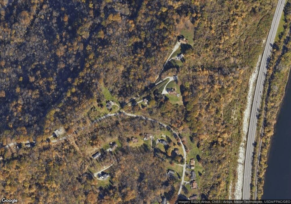
Map
Nearby Homes
- 0 Reilly Hill Rd Unit 11651485
- 603 Center Ave
- 409 Wheeling Ave
- 56612 McGee Rd
- 84 N Highland Ave
- 0 Battelle St
- 0 Glen Dale Heights Rd
- 60830 Shaver Hill Rd
- 106 Jefferson Ave
- 300 Tomlinson Ave
- 28 Park St
- 6 Oak Ave
- 803 Lockwood Ave & 8th St
- 309 8th St
- 61060 Webb Heights Rd
- 0 Wegee Ln
- 11 N Highland Ave
- 117 Ash Ave
- 1108 4th St
- 1101 4th St
- 59191 Broadview Rd Unit 208
- 59275 Broadview Rd
- 59299 Broadview Rd
- 59303 Broadview Rd
- 59321 Broadview Rd
- 56561 Turkey Point Rd
- 59349 Broadview Rd
- 59061 Broadview Rd
- 59323 Broadview Rd
- 59379 Broadview Rd
- 58839 Broadview Rd
- 59453 Broadview Rd
- 56260 Skyline Dr
- 58819 Broadview Rd
- 59490 Broadview Rd
- 56080 Matts Ln
- 56250 Skyline Dr
- 59500 Broadview Rd
- 56073 Matts Ln
- 59520 Broadview Rd
Your Personal Tour Guide
Ask me questions while you tour the home.