598 Cantown Rd Sparta, TN 38583
Estimated Value: $235,000 - $395,000
3
Beds
2
Baths
2,016
Sq Ft
$163/Sq Ft
Est. Value
About This Home
This home is located at 598 Cantown Rd, Sparta, TN 38583 and is currently estimated at $328,198, approximately $162 per square foot. 598 Cantown Rd is a home located in White County with nearby schools including Findlay Elementary School, White County Middle School, and White County High School.
Ownership History
Date
Name
Owned For
Owner Type
Purchase Details
Closed on
Feb 3, 2006
Sold by
Juetten John M
Bought by
David Maxwell
Current Estimated Value
Purchase Details
Closed on
Feb 4, 2004
Sold by
Webb Mary J
Bought by
Juetten John M
Home Financials for this Owner
Home Financials are based on the most recent Mortgage that was taken out on this home.
Original Mortgage
$82,500
Interest Rate
5.85%
Purchase Details
Closed on
Feb 21, 2002
Sold by
James Webb and James Mary J
Bought by
Shafer Tuuk Tree Farm Llc
Purchase Details
Closed on
Jan 8, 1980
Bought by
Webb James M
Purchase Details
Closed on
Jan 1, 1980
Create a Home Valuation Report for This Property
The Home Valuation Report is an in-depth analysis detailing your home's value as well as a comparison with similar homes in the area
Home Values in the Area
Average Home Value in this Area
Purchase History
| Date | Buyer | Sale Price | Title Company |
|---|---|---|---|
| David Maxwell | $200,000 | -- | |
| Juetten John M | $82,500 | -- | |
| Shafer Tuuk Tree Farm Llc | $30,000 | -- | |
| Webb James M | -- | -- | |
| -- | $14,600 | -- |
Source: Public Records
Mortgage History
| Date | Status | Borrower | Loan Amount |
|---|---|---|---|
| Previous Owner | Not Available | $82,500 |
Source: Public Records
Tax History Compared to Growth
Tax History
| Year | Tax Paid | Tax Assessment Tax Assessment Total Assessment is a certain percentage of the fair market value that is determined by local assessors to be the total taxable value of land and additions on the property. | Land | Improvement |
|---|---|---|---|---|
| 2024 | $1,121 | $54,675 | $12,425 | $42,250 |
| 2023 | $0 | $54,675 | $12,425 | $42,250 |
| 2022 | $1,121 | $54,675 | $12,425 | $42,250 |
| 2021 | $1,121 | $54,675 | $12,425 | $42,250 |
| 2020 | $1,121 | $54,675 | $12,425 | $42,250 |
| 2019 | $848 | $41,350 | $10,250 | $31,100 |
| 2018 | $848 | $41,350 | $10,250 | $31,100 |
| 2017 | $848 | $41,350 | $10,250 | $31,100 |
| 2016 | $848 | $41,350 | $10,250 | $31,100 |
| 2015 | $765 | $41,350 | $10,250 | $31,100 |
| 2014 | -- | $41,350 | $10,250 | $31,100 |
| 2013 | -- | $40,150 | $10,250 | $29,900 |
Source: Public Records
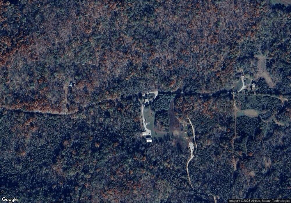
Map
Nearby Homes
- 7959 Monterey Hwy
- 135 Rosa Cox Rd
- 452 Board Valley Rd
- 427 Frank Sims Rd
- lot 29 Woodland Trail
- 629 Woodland Trail
- 7029 Monterey Hwy
- 5445 Coal Bank Rd
- 500 Moonlight Trail
- 1190 Plum Creek Rd
- 269 Moonlight Trail
- 648 Wigwam St
- 3828 Blue Springs Rd
- 436 Paul Golden Rd
- 0 N Star Rd Unit RTC2778223
- 0 Doran Rd Unit RTC3001862
- 0 Crouch Rd
- 2373 Tollison Town Rd
- 50.5 AC Cantown Rd
- 339 Cantown Rd
- 809 Cantown Rd
- 815 Cantown Rd
- 1435 MacK Floyd Rd
- 119 Acre MacK Floyd Rd
- 129ac MacK Floyd Rd
- 5.02 ac MacK Floyd Rd
- . MacK Floyd Rd
- Tract 2 MacK Floyd Rd
- TRACTS 4 MacK Floyd Rd
- 5.017 Ac MacK Floyd Rd
- 00 MacK Floyd Rd
- 136.3ac MacK Floyd Rd
- 2308 MacK Floyd Rd
- 1677 MacK Floyd Rd
- 1585 MacK Floyd Rd
- 2151 MacK Floyd Rd
- 2359 MacK Floyd Rd