598 Parrot Point Dr Unit LOT 15 Charleston, SC 29412
James Island NeighborhoodEstimated Value: $1,668,000 - $3,758,000
4
Beds
4
Baths
4,080
Sq Ft
$669/Sq Ft
Est. Value
About This Home
This home is located at 598 Parrot Point Dr Unit LOT 15, Charleston, SC 29412 and is currently estimated at $2,730,225, approximately $669 per square foot. 598 Parrot Point Dr Unit LOT 15 is a home located in Charleston County with nearby schools including Stiles Point Elementary School, Camp Road Middle, and James Island Charter High School.
Ownership History
Date
Name
Owned For
Owner Type
Purchase Details
Closed on
Jul 2, 2010
Sold by
Branch Banking & Trust Company
Bought by
Stamey Timothy Craig and Stamey Catherine
Current Estimated Value
Purchase Details
Closed on
Sep 2, 2009
Sold by
Crawford Investments Llc
Bought by
Branch Banking & Trust Company
Purchase Details
Closed on
Jun 10, 2005
Sold by
Rgt/Charleston Partners Ltd
Bought by
Crawford Investments Llc
Purchase Details
Closed on
Jan 25, 2005
Sold by
Parrot Point Llc
Bought by
First American Exchange Co and Rgt Charleston Partners Ltd
Create a Home Valuation Report for This Property
The Home Valuation Report is an in-depth analysis detailing your home's value as well as a comparison with similar homes in the area
Home Values in the Area
Average Home Value in this Area
Purchase History
| Date | Buyer | Sale Price | Title Company |
|---|---|---|---|
| Stamey Timothy Craig | $162,250 | -- | |
| Branch Banking & Trust Company | -- | -- | |
| Crawford Investments Llc | $413,600 | -- | |
| First American Exchange Co | $1,575,000 | -- |
Source: Public Records
Tax History Compared to Growth
Tax History
| Year | Tax Paid | Tax Assessment Tax Assessment Total Assessment is a certain percentage of the fair market value that is determined by local assessors to be the total taxable value of land and additions on the property. | Land | Improvement |
|---|---|---|---|---|
| 2024 | $5,854 | $42,270 | $0 | $0 |
| 2023 | $5,366 | $42,270 | $0 | $0 |
| 2022 | $5,051 | $42,270 | $0 | $0 |
| 2021 | $5,304 | $42,270 | $0 | $0 |
| 2020 | $5,505 | $42,270 | $0 | $0 |
| 2019 | $4,883 | $36,760 | $0 | $0 |
| 2017 | $4,508 | $35,160 | $0 | $0 |
| 2016 | $4,315 | $35,160 | $0 | $0 |
| 2015 | $5,021 | $21,000 | $0 | $0 |
| 2014 | $4,950 | $0 | $0 | $0 |
| 2011 | -- | $0 | $0 | $0 |
Source: Public Records
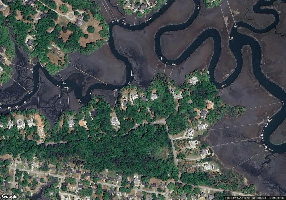
Map
Nearby Homes
- 634 Lynne Ave
- 922 Preston Rd
- 746 Tallwood Rd
- 764 Creekside Dr
- 660 Ayers Dr
- 939 Mikell Dr
- 544 Fort Johnson Rd
- 672 Ayers Dr
- 762 Swanson Ave
- 683 Edmonds Dr
- 706 Sterling Dr
- 460 Trapier Dr
- 0 Fort Johnson Rd Unit 25005735
- 965 Mooring Dr
- 957 Regatta Rd
- 3009 Allison Cove Dr
- 1313 Salt Marsh Cove
- 764 Whispering Marsh Dr
- 1024 Greenhill Rd
- 1032 Greenhill Rd Unit A
- 598 Belle Terre Unit LOT 15
- 590 Parrot Point Dr
- 606 Parrot Point Dr
- 584 Parrot Point Dr
- 574 Parrot Point Dr
- 000 Tanner Trail
- 404 Tanner Trail
- 434 Tanner Trail Unit LOT 1
- 0 Tanner Trail Unit 16002839
- 0 Tanner Trail Unit 16002827
- 615 Parrot Point Dr Unit LOT 7
- 615 Parrot Point Dr
- 410 Tanner Trail Unit LOT 5
- 410 Parrot Point Dr Unit LOT 5
- 560 Parrot Point Dr
- 50 Parrott Point Dr Unit LOT 20
- 4 Belle Terre
- 416 Tanner Trail Unit LOT 4
- 624 Parrot Point Dr Unit LOT 11
- 624 Parrot Point Dr