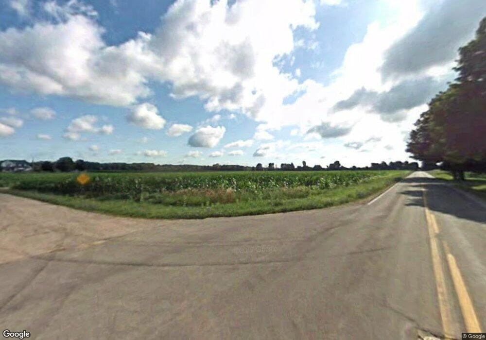
5982 W David Hwy Saranac, MI 48881
Estimated Value: $280,000 - $315,000
4
Beds
2
Baths
1,843
Sq Ft
$162/Sq Ft
Est. Value
About This Home
This home is located at 5982 W David Hwy, Saranac, MI 48881 and is currently estimated at $299,142, approximately $162 per square foot. 5982 W David Hwy is a home located in Ionia County with nearby schools including Saranac Elementary School and Saranac Junior/Senior High School.
Ownership History
Date
Name
Owned For
Owner Type
Purchase Details
Closed on
Aug 21, 2015
Sold by
Patrick Jenett E and Wolbers Jennifer
Bought by
Strouse Robert and Strouse Rebecca
Current Estimated Value
Home Financials for this Owner
Home Financials are based on the most recent Mortgage that was taken out on this home.
Original Mortgage
$66,500
Interest Rate
4.03%
Mortgage Type
New Conventional
Create a Home Valuation Report for This Property
The Home Valuation Report is an in-depth analysis detailing your home's value as well as a comparison with similar homes in the area
Home Values in the Area
Average Home Value in this Area
Purchase History
| Date | Buyer | Sale Price | Title Company |
|---|---|---|---|
| Strouse Robert | $95,000 | Sun Title Agency |
Source: Public Records
Mortgage History
| Date | Status | Borrower | Loan Amount |
|---|---|---|---|
| Closed | Strouse Robert | $66,500 |
Source: Public Records
Tax History Compared to Growth
Tax History
| Year | Tax Paid | Tax Assessment Tax Assessment Total Assessment is a certain percentage of the fair market value that is determined by local assessors to be the total taxable value of land and additions on the property. | Land | Improvement |
|---|---|---|---|---|
| 2025 | $2,277 | $106,400 | $16,600 | $89,800 |
| 2024 | $793 | $106,400 | $16,600 | $89,800 |
| 2023 | $756 | $91,700 | $15,700 | $76,000 |
| 2022 | $720 | $91,700 | $15,700 | $76,000 |
| 2021 | $2,022 | $75,200 | $17,000 | $58,200 |
| 2020 | $691 | $75,200 | $17,000 | $58,200 |
| 2019 | $637 | $73,300 | $16,400 | $56,900 |
| 2018 | $1,812 | $65,900 | $16,000 | $49,900 |
| 2017 | $643 | $65,900 | $16,000 | $49,900 |
| 2016 | $637 | $58,900 | $15,700 | $43,200 |
| 2015 | -- | $58,900 | $15,700 | $43,200 |
| 2014 | $560 | $55,400 | $15,700 | $39,700 |
Source: Public Records
Map
Nearby Homes
- 33 Fuller St
- 359 Mill St
- 83 Main St
- 6973 Bluewater Hwy
- 160 Division St
- 5210 Bluewater Hwy
- 5650 Morrison Lake Rd
- 3500 Lee Rd
- 0 Sayles Rd Unit 25051613
- 6900 Morrison Lake Rd
- 778 McKinch Dr
- Parcel A Sayles Rd
- 5648 Ivan Rd
- 8780 Peck Lake Rd
- 5272 Marvie Dr
- 8965 Peck Lake Rd
- 4336 Ainsworth Rd
- 6101 Greenbriar Dr
- 6342 Lakeshore Dr
- 1979 W Riverside Dr
- 5982 W David Hwy
- 5996 W David Hwy
- 5972 W David Hwy
- 3991 Jackson Rd
- 3969 Jackson Rd
- 6009 W David Hwy
- 6009 W David Hwy
- 5896 W David Hwy
- 5917 W David Hwy
- 6019 W David Hwy
- 3951 Jackson Rd
- 4071 Jackson Rd
- 6035 David Hwy
- 3911 Jackson Rd
- 6069 W David Hwy
- 6069 W David Hwy
- 5854 W David Hwy
- 5854 W David Hwy
- 4090 Jackson Rd
- 5875 W David Hwy
