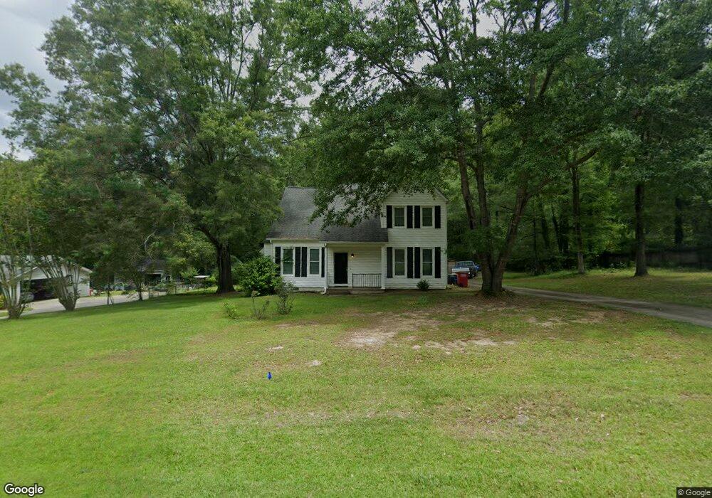
5984 Huddersfield Rd Macon, GA 31210
Estimated Value: $224,000 - $293,000
4
Beds
3
Baths
2,357
Sq Ft
$112/Sq Ft
Est. Value
About This Home
This home is located at 5984 Huddersfield Rd, Macon, GA 31210 and is currently estimated at $264,350, approximately $112 per square foot. 5984 Huddersfield Rd is a home located in Bibb County with nearby schools including Carter Elementary School, Howard Middle School, and Howard High School.
Ownership History
Date
Name
Owned For
Owner Type
Purchase Details
Closed on
Aug 1, 2016
Sold by
Rodney Virgil
Bought by
Kistler Nancy Trofemuk
Current Estimated Value
Purchase Details
Closed on
Mar 26, 2002
Bought by
Byars Virgil R and Byars Gloria H
Create a Home Valuation Report for This Property
The Home Valuation Report is an in-depth analysis detailing your home's value as well as a comparison with similar homes in the area
Home Values in the Area
Average Home Value in this Area
Purchase History
| Date | Buyer | Sale Price | Title Company |
|---|---|---|---|
| Kistler Nancy Trofemuk | -- | -- | |
| Byars Virgil R | $148,000 | -- |
Source: Public Records
Tax History Compared to Growth
Tax History
| Year | Tax Paid | Tax Assessment Tax Assessment Total Assessment is a certain percentage of the fair market value that is determined by local assessors to be the total taxable value of land and additions on the property. | Land | Improvement |
|---|---|---|---|---|
| 2025 | $2,254 | $91,732 | $11,760 | $79,972 |
| 2024 | $2,330 | $91,732 | $11,760 | $79,972 |
| 2023 | $1,992 | $78,419 | $11,760 | $66,659 |
| 2022 | $2,549 | $73,612 | $10,500 | $63,112 |
| 2021 | $2,627 | $69,132 | $9,240 | $59,892 |
| 2020 | $2,383 | $61,392 | $8,400 | $52,992 |
| 2019 | $2,403 | $61,392 | $8,400 | $52,992 |
| 2018 | $3,171 | $49,892 | $8,400 | $41,492 |
| 2017 | $1,869 | $49,892 | $8,400 | $41,492 |
| 2016 | $1,726 | $49,892 | $8,400 | $41,492 |
| 2015 | $2,777 | $56,702 | $8,400 | $48,302 |
| 2014 | $2,899 | $57,469 | $8,400 | $49,069 |
Source: Public Records
Map
Nearby Homes
- 5970 Huddersfield Rd
- 5998 Huddersfield Rd
- 5981 Huddersfield Rd
- 5956 Huddersfield Rd Unit 65
- 5956 Huddersfield Rd
- 5956 Huddersfield Rd Unit 243
- 502 Stone Edge Rd
- 5969 Huddersfield Rd
- 490 Stone Edge Rd
- 175 Broadleaf Dr
- 516 Stone Edge Rd
- 5942 Huddersfield Rd
- 5945 Huddersfield Rd
- 495 Stone Edge Rd Unit 45
- 495 Stone Edge Rd
- 470 Stone Edge Rd
- 511 Stone Edge Rd
- 179 Broadleaf Dr
- 475 Stone Edge Rd
- 5931 Huddersfield Rd