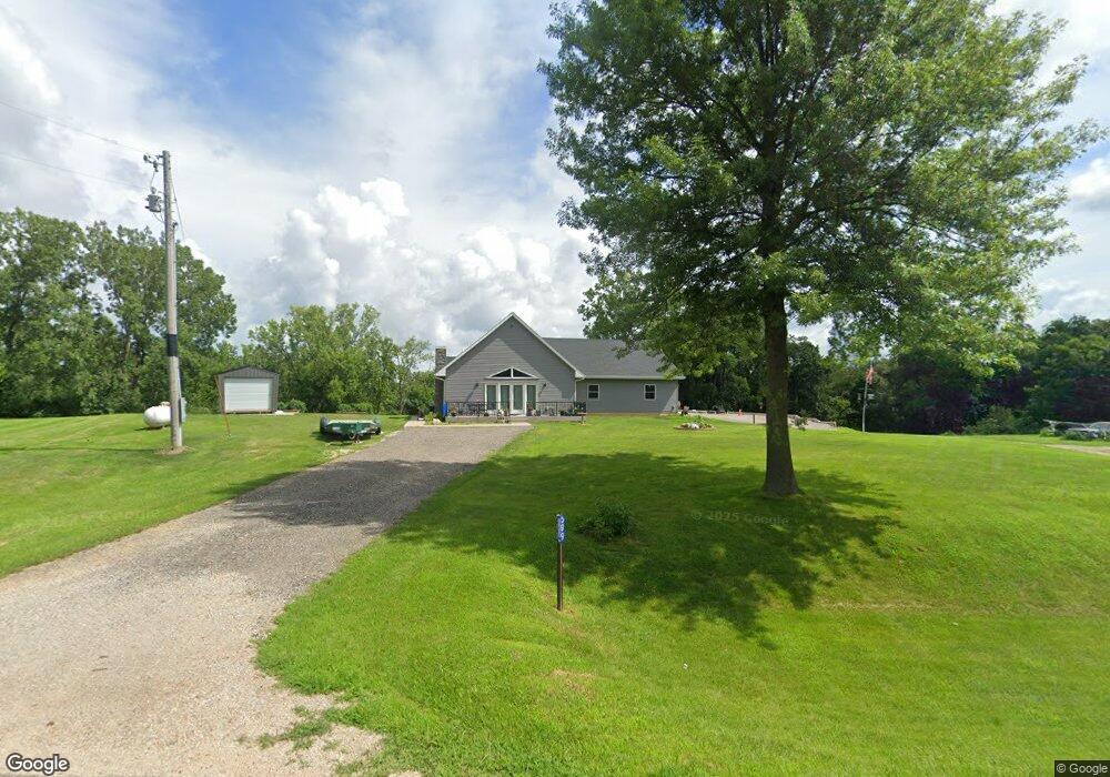
599 255th St West Branch, IA 52358
Estimated Value: $418,000 - $461,000
2
Beds
2
Baths
1,310
Sq Ft
$335/Sq Ft
Est. Value
About This Home
This home is located at 599 255th St, West Branch, IA 52358 and is currently estimated at $438,445, approximately $334 per square foot. 599 255th St is a home located in Cedar County with nearby schools including Hoover Elementary School, West Branch Middle School, and West Branch High School.
Ownership History
Date
Name
Owned For
Owner Type
Purchase Details
Closed on
May 5, 2014
Sold by
Zousel Dewayne
Bought by
Mckillip Dale L and Mckillip Penny L
Current Estimated Value
Home Financials for this Owner
Home Financials are based on the most recent Mortgage that was taken out on this home.
Original Mortgage
$61,900
Outstanding Balance
$17,884
Interest Rate
4.41%
Mortgage Type
New Conventional
Estimated Equity
$420,561
Purchase Details
Closed on
Jan 30, 2006
Sold by
Zousel Velva
Bought by
Zousel Velva and Revocable Tr Agreement Of V A D M D A Z
Create a Home Valuation Report for This Property
The Home Valuation Report is an in-depth analysis detailing your home's value as well as a comparison with similar homes in the area
Home Values in the Area
Average Home Value in this Area
Purchase History
| Date | Buyer | Sale Price | Title Company |
|---|---|---|---|
| Mckillip Dale L | $82,000 | None Available | |
| Zousel Velva | -- | None Available |
Source: Public Records
Mortgage History
| Date | Status | Borrower | Loan Amount |
|---|---|---|---|
| Open | Mckillip Dale L | $61,900 |
Source: Public Records
Tax History Compared to Growth
Tax History
| Year | Tax Paid | Tax Assessment Tax Assessment Total Assessment is a certain percentage of the fair market value that is determined by local assessors to be the total taxable value of land and additions on the property. | Land | Improvement |
|---|---|---|---|---|
| 2025 | $4,560 | $397,930 | $94,700 | $303,230 |
| 2024 | $4,560 | $388,100 | $74,700 | $313,400 |
| 2023 | $4,388 | $374,910 | $74,700 | $300,210 |
| 2022 | $964 | $310,300 | $52,650 | $257,650 |
| 2021 | $1,482 | $69,450 | $52,650 | $16,800 |
| 2020 | $1,444 | $99,100 | $46,800 | $52,300 |
| 2019 | $1,266 | $97,190 | $46,800 | $52,300 |
| 2018 | $1,240 | $97,190 | $0 | $0 |
| 2017 | $1,240 | $81,600 | $0 | $0 |
| 2016 | $1,026 | $81,600 | $0 | $0 |
| 2015 | $1,038 | $81,600 | $0 | $0 |
| 2014 | $1,056 | $85,390 | $0 | $0 |
Source: Public Records
Map
Nearby Homes
- 896 Daulton Dr
- 325 Elm St
- 0 Pleasant View Dr Parcel
- 1612 Cedar St
- T.B.D. 275th St
- 1908 Charles Ave Lot 2
- 1912 Charles Ave Lot 3
- 12 Bradley Ln Unit AB12
- 63 Eisenhower St Unit GB63
- 27 Bradley Ln Unit AC27
- 1924 Charles Ave Lot 6
- 1928 Charles Ave Lot 7
- 1932 Charles Ave Lot 8
- 33 Lou Henry Ln Unit AM33
- 35 Lou Henry Ln Unit AM35
- 557 N 4th St
- 521 N 4th St Unit Louise Court Condos
- 168 290th St
- 3 Grant St Unit GR3
- 105 Alliance Dr