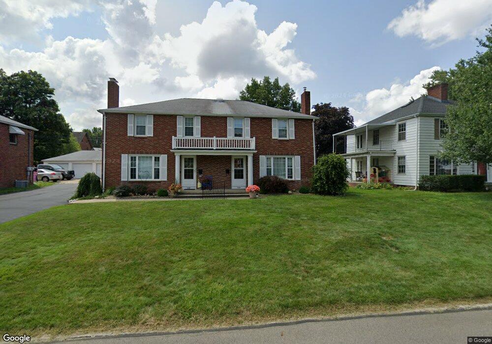
599 Barnard Ave Mansfield, OH 44903
Estimated Value: $135,000 - $204,000
2
Beds
2
Baths
2,784
Sq Ft
$64/Sq Ft
Est. Value
About This Home
This home is located at 599 Barnard Ave, Mansfield, OH 44903 and is currently estimated at $178,131, approximately $63 per square foot. 599 Barnard Ave is a home located in Richland County with nearby schools including Goal Digital Academy, Discovery School, and St. Peter's High School/Junior High.
Ownership History
Date
Name
Owned For
Owner Type
Purchase Details
Closed on
Mar 11, 2008
Sold by
Hud
Bought by
Hester Timothy A
Current Estimated Value
Purchase Details
Closed on
Apr 18, 2005
Sold by
Mack Ivan D
Bought by
Jones Angela J
Home Financials for this Owner
Home Financials are based on the most recent Mortgage that was taken out on this home.
Original Mortgage
$144,728
Interest Rate
5.89%
Mortgage Type
FHA
Purchase Details
Closed on
Nov 15, 2004
Sold by
Wells William H and Wells Patricia A
Bought by
Mack Ivan D
Home Financials for this Owner
Home Financials are based on the most recent Mortgage that was taken out on this home.
Original Mortgage
$96,000
Interest Rate
6.25%
Mortgage Type
Purchase Money Mortgage
Create a Home Valuation Report for This Property
The Home Valuation Report is an in-depth analysis detailing your home's value as well as a comparison with similar homes in the area
Home Values in the Area
Average Home Value in this Area
Purchase History
| Date | Buyer | Sale Price | Title Company |
|---|---|---|---|
| Hester Timothy A | $105,000 | Lakeside Title | |
| Jones Angela J | $147,000 | Southern Title | |
| Mack Ivan D | $120,000 | Chicago Title |
Source: Public Records
Mortgage History
| Date | Status | Borrower | Loan Amount |
|---|---|---|---|
| Previous Owner | Jones Angela J | $144,728 | |
| Previous Owner | Mack Ivan D | $96,000 |
Source: Public Records
Tax History Compared to Growth
Tax History
| Year | Tax Paid | Tax Assessment Tax Assessment Total Assessment is a certain percentage of the fair market value that is determined by local assessors to be the total taxable value of land and additions on the property. | Land | Improvement |
|---|---|---|---|---|
| 2024 | $2,442 | $51,000 | $5,230 | $45,770 |
| 2023 | $2,442 | $51,000 | $5,230 | $45,770 |
| 2022 | $2,098 | $36,730 | $4,490 | $32,240 |
| 2021 | $2,113 | $36,730 | $4,490 | $32,240 |
| 2020 | $2,161 | $36,730 | $4,490 | $32,240 |
| 2019 | $2,395 | $36,730 | $4,490 | $32,240 |
| 2018 | $2,363 | $36,730 | $4,490 | $32,240 |
| 2017 | $2,463 | $39,330 | $4,490 | $34,840 |
| 2016 | $2,203 | $34,110 | $5,730 | $28,380 |
| 2015 | $2,203 | $34,110 | $5,730 | $28,380 |
| 2014 | $2,076 | $34,110 | $5,730 | $28,380 |
| 2012 | $837 | $35,900 | $6,030 | $29,870 |
Source: Public Records
Map
Nearby Homes
- 616 Cline Ave
- 679 Coleman Rd
- 538 Broadview Ave
- 408 Fairlawn Ave
- 133 Stewart Ave S
- 191 Fairlawn Ave
- 126 Dawson Ave
- 118 Parkwood Blvd
- 212 Marlow Rd
- 143 Fairlawn Ave
- 135 Fairlawn Ave
- 129 Fairlawn Ave
- 78 Glenwood Blvd
- 71 Glenwood Blvd
- 88 Sherman Ave
- 76 Bartley Ave
- 41 Parkwood Blvd
- 114 Vennum Ave
- 24 Stewart Ave S
- 21 Glenwood Blvd
- 597 Barnard Ave
- 607 Barnard Ave
- 591 Barnard Ave Unit 593
- 611 Barnard Ave
- 594 Manchester Rd
- 600 Manchester Rd
- 585 Barnard Ave
- 608 Manchester Rd
- 560 Marion Ave
- 598 Barnard Ave
- 619 Barnard Ave
- 606 Barnard Ave
- 592 Barnard Ave
- 564 Marion Ave
- 612 Barnard Ave
- 584 Barnard Ave
- 614 Manchester Rd
- 625 Barnard Ave
- 620 Barnard Ave
- 532 Marion Ave