599 Ralph Rd Brookfield, VT 05036
Estimated Value: $224,000 - $400,000
2
Beds
1
Bath
1,296
Sq Ft
$243/Sq Ft
Est. Value
About This Home
This home is located at 599 Ralph Rd, Brookfield, VT 05036 and is currently estimated at $314,476, approximately $242 per square foot. 599 Ralph Rd is a home located in Orange County with nearby schools including Brookfield Elementary School and Randolph Union High School.
Ownership History
Date
Name
Owned For
Owner Type
Purchase Details
Closed on
Mar 20, 2024
Sold by
Tetreault Andrew and Tetreault Claudia L
Bought by
The Tetreault Family Trust
Current Estimated Value
Purchase Details
Closed on
Sep 19, 2014
Sold by
Runningdeer Islene
Bought by
Tetreault Andrew J and Lovell Claudia H
Purchase Details
Closed on
Nov 10, 1995
Sold by
Crouse David and Crouse Suzanne Sepe
Bought by
Bodenweber Joanna and Fried Geoffry H
Create a Home Valuation Report for This Property
The Home Valuation Report is an in-depth analysis detailing your home's value as well as a comparison with similar homes in the area
Home Values in the Area
Average Home Value in this Area
Purchase History
| Date | Buyer | Sale Price | Title Company |
|---|---|---|---|
| The Tetreault Family Trust | -- | -- | |
| The Tetreault Family Trust | -- | -- | |
| Tetreault Andrew J | $197,500 | -- | |
| Tetreault Andrew J | $197,500 | -- | |
| Bodenweber Joanna | $42,000 | -- | |
| Bodenweber Joanna | $42,000 | -- |
Source: Public Records
Tax History
| Year | Tax Paid | Tax Assessment Tax Assessment Total Assessment is a certain percentage of the fair market value that is determined by local assessors to be the total taxable value of land and additions on the property. | Land | Improvement |
|---|---|---|---|---|
| 2024 | $3,111 | $257,100 | $73,400 | $183,700 |
| 2023 | $3,111 | $244,500 | $60,800 | $183,700 |
| 2022 | $4,148 | $244,500 | $60,800 | $183,700 |
| 2021 | $4,292 | $208,800 | $66,600 | $142,200 |
| 2020 | $4,402 | $208,800 | $66,600 | $142,200 |
| 2019 | $3,798 | $192,900 | $66,600 | $126,300 |
| 2018 | $3,503 | $192,900 | $66,600 | $126,300 |
| 2017 | $3,538 | $192,900 | $66,600 | $126,300 |
| 2016 | $3,476 | $192,900 | $66,600 | $126,300 |
| 2015 | -- | $1,929 | $0 | $0 |
| 2014 | -- | $1,929 | $0 | $0 |
| 2013 | -- | $1,929 | $0 | $0 |
Source: Public Records
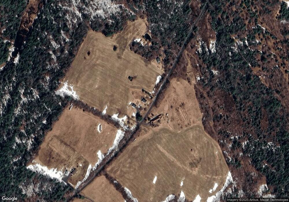
Map
Nearby Homes
- 27 Sunset Ln
- 00 Kidder Dr
- 1001 Vt Route 65
- 0 West St Unit 10
- 00 Ridge Rd
- 219 Emzaga Dr
- 397 Winch Hill Extension
- 3091 Baptist St
- 1656 Williamstown Rd
- 1272 Vermont 12
- 1226 Brainstorm Rd
- 00 Williamstown Rd Unit 33
- 53 Beckett St
- 00 Gilbert Rd
- 47 High St
- 16 Howe St
- 113 Railroad St
- 78 Circle St
- 98 K-T Dr Unit Lot 19
- 223 Bobbinshop Rd
Your Personal Tour Guide
Ask me questions while you tour the home.