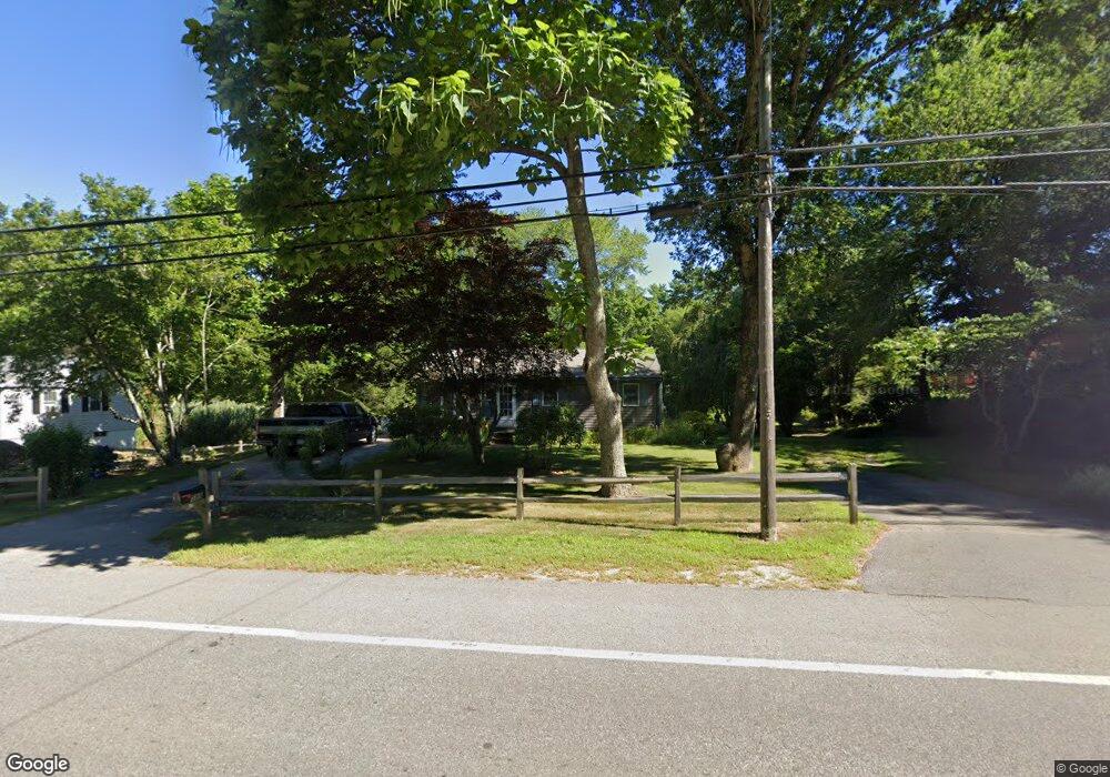
599 Wareham St Middleboro, MA 02346
Estimated Value: $497,000 - $518,000
3
Beds
1
Bath
1,360
Sq Ft
$376/Sq Ft
Est. Value
About This Home
This home is located at 599 Wareham St, Middleboro, MA 02346 and is currently estimated at $512,000, approximately $376 per square foot. 599 Wareham St is a home located in Plymouth County with nearby schools including Mary K. Goode Elementary School.
Ownership History
Date
Name
Owned For
Owner Type
Purchase Details
Closed on
Feb 25, 2021
Sold by
Leroy Ft
Bought by
Leroy Irt
Current Estimated Value
Purchase Details
Closed on
Aug 12, 2010
Sold by
Leroy Patrick G and Leroy Olive M
Bought by
Leroy Ft and Leroy Patrick G
Purchase Details
Closed on
Mar 7, 1974
Bought by
Leroy Patrick G and Leroy Olive M
Create a Home Valuation Report for This Property
The Home Valuation Report is an in-depth analysis detailing your home's value as well as a comparison with similar homes in the area
Home Values in the Area
Average Home Value in this Area
Purchase History
| Date | Buyer | Sale Price | Title Company |
|---|---|---|---|
| Leroy Irt | -- | None Available | |
| Leroy Ft | -- | -- | |
| Leroy Patrick G | -- | -- |
Source: Public Records
Mortgage History
| Date | Status | Borrower | Loan Amount |
|---|---|---|---|
| Previous Owner | Leroy Patrick G | $12,000 |
Source: Public Records
Tax History Compared to Growth
Tax History
| Year | Tax Paid | Tax Assessment Tax Assessment Total Assessment is a certain percentage of the fair market value that is determined by local assessors to be the total taxable value of land and additions on the property. | Land | Improvement |
|---|---|---|---|---|
| 2025 | $5,262 | $392,400 | $160,000 | $232,400 |
| 2024 | $4,980 | $367,800 | $152,400 | $215,400 |
| 2023 | $4,685 | $329,000 | $152,400 | $176,600 |
| 2022 | $4,609 | $299,700 | $132,600 | $167,100 |
| 2021 | $4,510 | $277,200 | $116,400 | $160,800 |
| 2020 | $4,218 | $265,600 | $116,400 | $149,200 |
| 2019 | $3,977 | $256,900 | $116,400 | $140,500 |
| 2018 | $3,660 | $234,600 | $110,600 | $124,000 |
| 2017 | $3,594 | $227,900 | $106,400 | $121,500 |
| 2016 | $3,549 | $222,900 | $97,600 | $125,300 |
| 2015 | $3,298 | $209,000 | $97,600 | $111,400 |
Source: Public Records
Map
Nearby Homes
- 618 Wareham St
- 571 Wareham St
- 558 Wareham St
- 663 Wareham St Unit 6
- 2 Cranberry Cir
- 28 Wareham St
- 8 Heather Ln
- 9 Everett St
- 480 Wareham St
- 441 Wareham St
- 386 Wareham St
- Rear Wareham St
- 146 Miller St
- 425 Wareham St
- 37 Rocky Gutter St
- 563 County Rd
- 53 Miller St
- 167 Old Miller St
- 2230 Cranberry Hwy Unit 1
- 709 Walnut Plain Rd