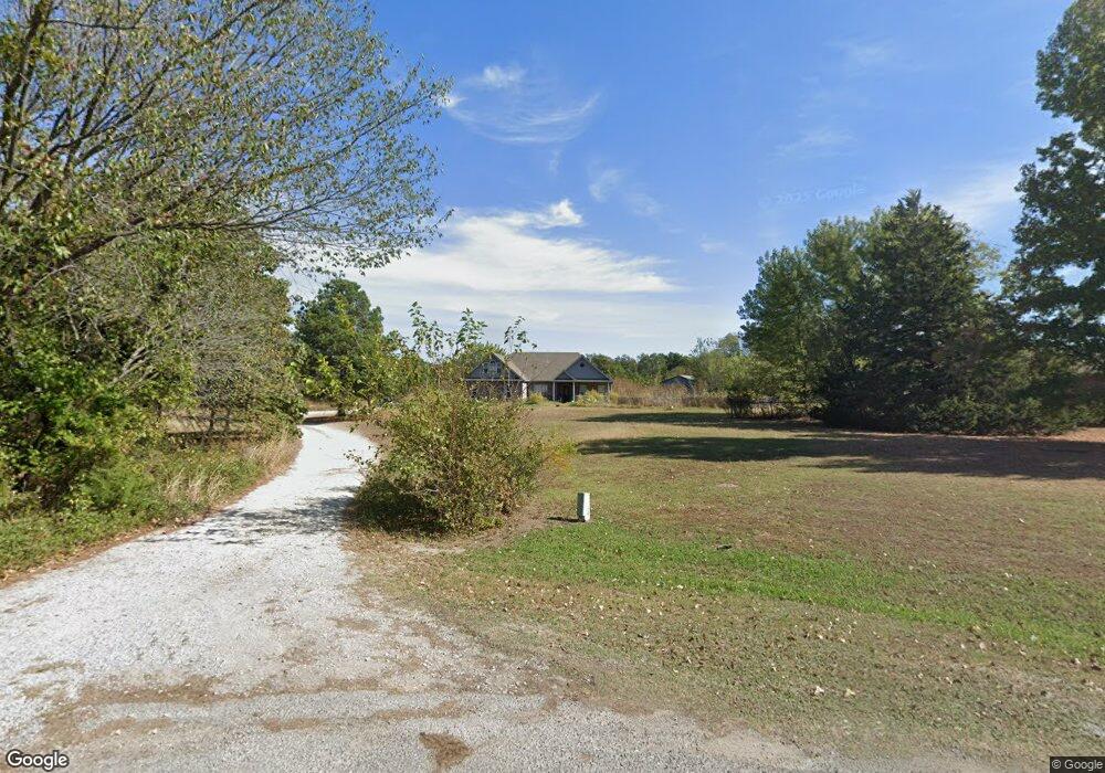
5995 Mason Dr Shawnee, OK 74804
Estimated Value: $282,000 - $321,337
4
Beds
2
Baths
2,206
Sq Ft
$138/Sq Ft
Est. Value
About This Home
This home is located at 5995 Mason Dr, Shawnee, OK 74804 and is currently estimated at $303,334, approximately $137 per square foot. 5995 Mason Dr is a home located in Pottawatomie County.
Ownership History
Date
Name
Owned For
Owner Type
Purchase Details
Closed on
Dec 7, 2017
Sold by
Blansett Brian and Blansett Dianna
Bought by
Blansett Brian
Current Estimated Value
Home Financials for this Owner
Home Financials are based on the most recent Mortgage that was taken out on this home.
Original Mortgage
$80,000
Outstanding Balance
$62,228
Interest Rate
3.94%
Mortgage Type
Commercial
Estimated Equity
$241,106
Purchase Details
Closed on
Sep 10, 2010
Sold by
Snider Betty
Bought by
Blansett Brian and Blansett Dianna
Home Financials for this Owner
Home Financials are based on the most recent Mortgage that was taken out on this home.
Original Mortgage
$55,000
Interest Rate
4.55%
Mortgage Type
New Conventional
Create a Home Valuation Report for This Property
The Home Valuation Report is an in-depth analysis detailing your home's value as well as a comparison with similar homes in the area
Purchase History
| Date | Buyer | Sale Price | Title Company |
|---|---|---|---|
| Blansett Brian | -- | None Available | |
| Blansett Brian | $186,000 | None Available |
Source: Public Records
Mortgage History
| Date | Status | Borrower | Loan Amount |
|---|---|---|---|
| Open | Blansett Brian | $80,000 | |
| Closed | Blansett Brian | $55,000 |
Source: Public Records
Tax History
| Year | Tax Paid | Tax Assessment Tax Assessment Total Assessment is a certain percentage of the fair market value that is determined by local assessors to be the total taxable value of land and additions on the property. | Land | Improvement |
|---|---|---|---|---|
| 2025 | $3,183 | $28,946 | $3,250 | $25,696 |
| 2024 | $3,016 | $28,103 | $3,155 | $24,948 |
| 2023 | $3,016 | $27,284 | $3,057 | $24,227 |
| 2022 | $2,891 | $26,490 | $2,963 | $23,527 |
| 2021 | $2,888 | $26,490 | $2,963 | $23,527 |
| 2020 | $2,842 | $24,970 | $2,782 | $22,188 |
| 2019 | $2,737 | $24,243 | $2,671 | $21,572 |
| 2018 | $2,565 | $23,536 | $2,582 | $20,954 |
| 2017 | $2,494 | $22,850 | $2,480 | $20,370 |
| 2016 | $1,995 | $22,185 | $2,398 | $19,787 |
| 2015 | $1,930 | $21,539 | $2,564 | $18,975 |
| 2014 | $1,871 | $20,912 | $2,533 | $18,379 |
Source: Public Records
Map
Nearby Homes
- 5707 Earl Dr
- 219 Hope Ave
- 213 Hope Ave
- 5604 Gemini
- 110 Cuyler Dr
- 43289 Garrett's Lake Rd
- 0 Mockingbird Ln
- 5505 Capricorn
- 43249 Garrett's Lake Rd
- 42904 Westech Rd Unit 42904 + 42906
- 8888 Arthur Rd
- 7777 Arthur Rd
- 42829 Garrett's Lake Rd
- 42773 Garrett's Lake Rd
- 7110 Brangus Rd
- 43512 E 45th St
- 23 Lake Ln
- 1611 Lady St
- 44106 45th St
- 1400 Lexi Dr
Your Personal Tour Guide
Ask me questions while you tour the home.