Estimated Value: $590,707 - $626,000
4
Beds
3
Baths
2,332
Sq Ft
$263/Sq Ft
Est. Value
About This Home
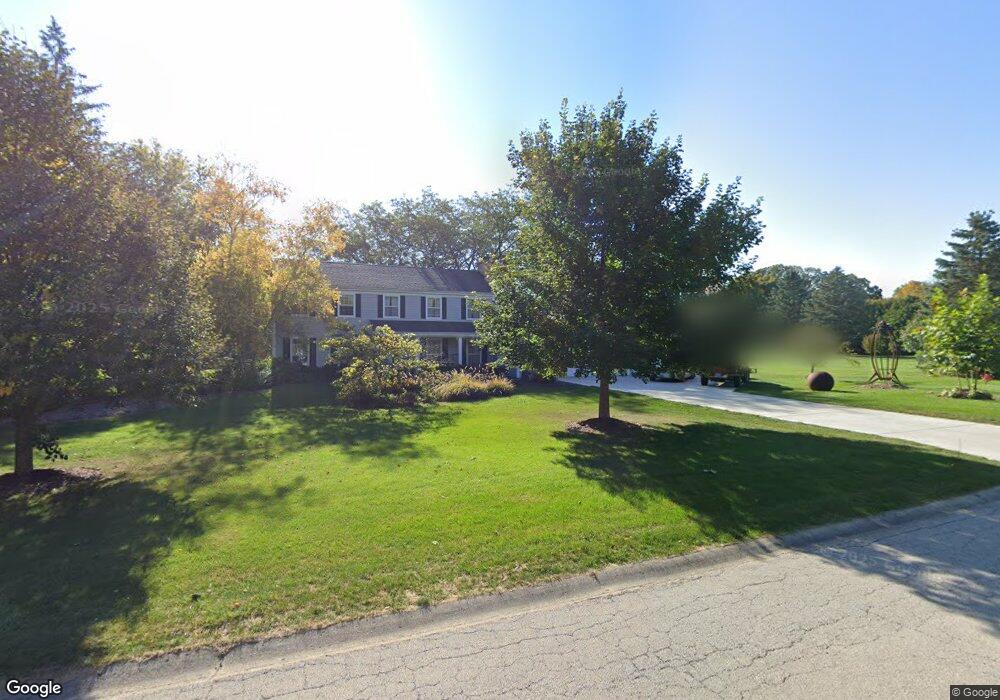
This home is located at 5N361 Oak Rd, Saint Charles, IL 60175 and is currently estimated at $613,677, approximately $263 per square foot. 5N361 Oak Rd is a home located in Kane County with nearby schools including Wild Rose Elementary School, Wredling Middle School, and St Charles North High School.
Ownership History
Date
Name
Owned For
Owner Type
Purchase Details
Closed on
Nov 7, 2001
Sold by
Russo Howard
Bought by
Russo Howard and Russo Kerrie
Current Estimated Value
Purchase Details
Closed on
Jul 20, 2001
Sold by
Ribordy Raymond E and Ribordy Sara L
Bought by
Russo Howard
Home Financials for this Owner
Home Financials are based on the most recent Mortgage that was taken out on this home.
Original Mortgage
$249,000
Outstanding Balance
$96,098
Interest Rate
7.16%
Estimated Equity
$517,579
Create a Home Valuation Report for This Property
The Home Valuation Report is an in-depth analysis detailing your home's value as well as a comparison with similar homes in the area
Home Values in the Area
Average Home Value in this Area
Purchase History
| Date | Buyer | Sale Price | Title Company |
|---|---|---|---|
| Russo Howard | -- | -- | |
| Russo Howard | $334,000 | -- |
Source: Public Records
Mortgage History
| Date | Status | Borrower | Loan Amount |
|---|---|---|---|
| Open | Russo Howard | $249,000 |
Source: Public Records
Tax History Compared to Growth
Tax History
| Year | Tax Paid | Tax Assessment Tax Assessment Total Assessment is a certain percentage of the fair market value that is determined by local assessors to be the total taxable value of land and additions on the property. | Land | Improvement |
|---|---|---|---|---|
| 2024 | $9,949 | $158,054 | $46,550 | $111,504 |
| 2023 | $9,469 | $141,461 | $41,663 | $99,798 |
| 2022 | $9,407 | $137,496 | $45,192 | $92,304 |
| 2021 | $8,760 | $131,061 | $43,077 | $87,984 |
| 2020 | $8,701 | $120,677 | $42,274 | $78,403 |
| 2019 | $8,543 | $118,288 | $41,437 | $76,851 |
| 2018 | $8,329 | $115,251 | $40,676 | $74,575 |
| 2017 | $8,112 | $110,011 | $39,285 | $70,726 |
| 2016 | $8,536 | $106,147 | $37,905 | $68,242 |
| 2015 | -- | $95,292 | $37,496 | $57,796 |
| 2014 | -- | $94,390 | $37,496 | $56,894 |
| 2013 | -- | $100,843 | $37,871 | $62,972 |
Source: Public Records
Map
Nearby Homes
- 5N400 Fence Rail Ct
- 5N661 Leola Ln
- 4N922 Dover Hill Rd
- 5N070 State Route 31
- 4N680 Ware Woods Dr
- 37W004 Ridgewood Dr
- 4N675 Old Farm Rd
- 5N024 Il Route 31
- 36W824 Red Gate Ct
- 135 Thornhill Farm Ln Unit 1
- 5N113 Burr Rd
- 5N107 Burr Rd
- 106 Sumac Ct
- 43W321 Creekside Ct
- 5N092 Grove Ave
- 1987 Sagebrook Dr
- 3N866 Ferson Creek Rd
- 6N362 Riverside Dr
- 6N323 Riverside Dr
- 921 Oak Crest Ln Unit 1
- 5N325 Oak Rd
- 36W835 Oak Rd
- 36W870 Oak Rd
- 5N378 Fence Rail Ct Unit 2
- 5N342 Oak Rd
- 5N285 Oak Rd
- 5N316 Oak Rd Unit 2
- 36W799 Oak Rd Unit 3
- 36W840 Oak Rd
- 5N433 Fence Rail Ct
- 36W818 Oak Rd
- 5N284 Oak Rd
- 36W755 Oak Rd
- 5N430 Fence Rail Ct
- 36W830 Woodland Ct
- 5N260 Oak Rd
- 5N302 Deerpath Way Unit 3
- 36W780 Oak Rd
- 5N461 Fence Rail Ct
- 36W881 Woodland Ct