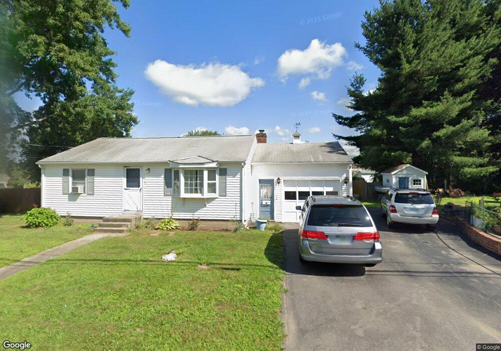
6 Als Ave Allenstown, NH 03275
Suncook NeighborhoodEstimated Value: $360,000 - $373,760
2
Beds
1
Bath
1,295
Sq Ft
$285/Sq Ft
Est. Value
About This Home
This home is located at 6 Als Ave, Allenstown, NH 03275 and is currently estimated at $369,440, approximately $285 per square foot. 6 Als Ave is a home located in Merrimack County with nearby schools including Allenstown Elementary School, Armand R. Dupont School, and Tender Years Child Care & Learning Center.
Ownership History
Date
Name
Owned For
Owner Type
Purchase Details
Closed on
Dec 4, 2006
Sold by
Maclean B Webber T
Bought by
Noyes Daniel P and Noyes Carol L
Current Estimated Value
Home Financials for this Owner
Home Financials are based on the most recent Mortgage that was taken out on this home.
Original Mortgage
$156,500
Outstanding Balance
$70,860
Interest Rate
6.36%
Estimated Equity
$298,580
Create a Home Valuation Report for This Property
The Home Valuation Report is an in-depth analysis detailing your home's value as well as a comparison with similar homes in the area
Home Values in the Area
Average Home Value in this Area
Purchase History
| Date | Buyer | Sale Price | Title Company |
|---|---|---|---|
| Noyes Daniel P | $150,000 | -- | |
| Noyes Daniel P | $150,000 | -- |
Source: Public Records
Mortgage History
| Date | Status | Borrower | Loan Amount |
|---|---|---|---|
| Open | Noyes Daniel P | $156,500 | |
| Closed | Noyes Daniel P | $156,500 |
Source: Public Records
Tax History Compared to Growth
Tax History
| Year | Tax Paid | Tax Assessment Tax Assessment Total Assessment is a certain percentage of the fair market value that is determined by local assessors to be the total taxable value of land and additions on the property. | Land | Improvement |
|---|---|---|---|---|
| 2024 | $7,616 | $299,600 | $142,500 | $157,100 |
| 2023 | $6,352 | $299,600 | $142,500 | $157,100 |
| 2022 | $5,842 | $299,600 | $142,500 | $157,100 |
| 2021 | $5,207 | $165,300 | $79,100 | $86,200 |
| 2020 | $4,843 | $165,300 | $79,100 | $86,200 |
| 2019 | $5,141 | $165,300 | $79,100 | $86,200 |
| 2018 | $4,984 | $165,300 | $79,100 | $86,200 |
| 2017 | $5,308 | $165,300 | $79,100 | $86,200 |
| 2016 | $4,466 | $131,900 | $50,800 | $81,100 |
| 2015 | $4,330 | $131,900 | $50,800 | $81,100 |
| 2014 | $4,456 | $131,900 | $50,800 | $81,100 |
| 2013 | $4,171 | $132,300 | $50,800 | $81,500 |
Source: Public Records
Map
Nearby Homes
- 15 Main St
- 4 Rodger Rd
- 7 Ferry St
- 422 Dawn Dr Unit 23
- 427 Dawn Dr Unit 15
- 100 Main St Unit 312
- 100 Main St Unit M10
- 100 Main St Unit 204
- 111 Glass St
- 163-165 Main St
- 12-14 Church St Unit 12,14
- 1 1/2 Bartlett St
- 19 Sullivan Dr
- 10 Lane Dr
- 2 Cheryl Dr
- 6 Meadow Ln
- 1821 Hooksett Rd
- 15 Sullivan Dr
- 233 Pembroke St
- 307 Dearborn Rd