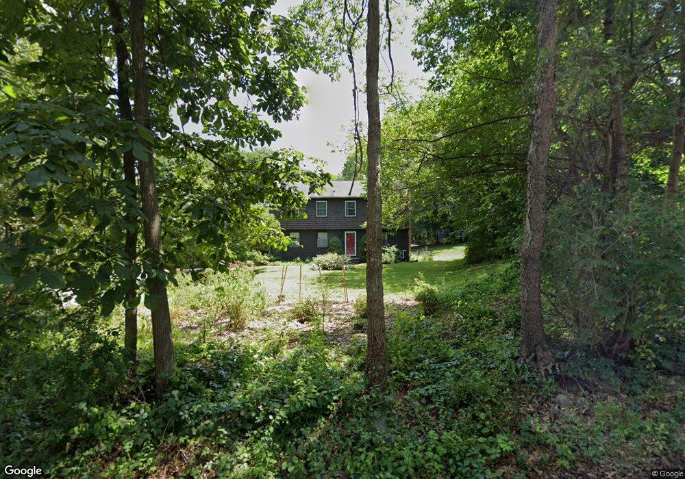
6 Ames Rd Groton, MA 01450
Estimated Value: $646,000 - $831,000
4
Beds
2
Baths
2,366
Sq Ft
$320/Sq Ft
Est. Value
About This Home
This home is located at 6 Ames Rd, Groton, MA 01450 and is currently estimated at $757,493, approximately $320 per square foot. 6 Ames Rd is a home located in Middlesex County with nearby schools including Groton Dunstable Regional High School, Groton Community School, and Seven Hills At Groton.
Ownership History
Date
Name
Owned For
Owner Type
Purchase Details
Closed on
Jan 5, 1998
Sold by
Quinn James F and Quinn Lorraine M
Bought by
Barker John C and Barker Anna M
Current Estimated Value
Home Financials for this Owner
Home Financials are based on the most recent Mortgage that was taken out on this home.
Original Mortgage
$194,250
Interest Rate
7.11%
Mortgage Type
Purchase Money Mortgage
Create a Home Valuation Report for This Property
The Home Valuation Report is an in-depth analysis detailing your home's value as well as a comparison with similar homes in the area
Home Values in the Area
Average Home Value in this Area
Purchase History
| Date | Buyer | Sale Price | Title Company |
|---|---|---|---|
| Barker John C | $204,500 | -- | |
| Barker John C | $204,500 | -- |
Source: Public Records
Mortgage History
| Date | Status | Borrower | Loan Amount |
|---|---|---|---|
| Open | Barker John C | $243,500 | |
| Closed | Barker John C | $180,000 | |
| Closed | Barker John C | $194,250 |
Source: Public Records
Tax History
| Year | Tax Paid | Tax Assessment Tax Assessment Total Assessment is a certain percentage of the fair market value that is determined by local assessors to be the total taxable value of land and additions on the property. | Land | Improvement |
|---|---|---|---|---|
| 2025 | $8,937 | $586,000 | $211,300 | $374,700 |
| 2024 | $8,745 | $579,500 | $211,300 | $368,200 |
| 2023 | $8,375 | $535,500 | $211,300 | $324,200 |
| 2022 | $7,864 | $457,500 | $189,500 | $268,000 |
| 2021 | $7,608 | $432,300 | $180,200 | $252,100 |
| 2020 | $7,263 | $417,900 | $180,200 | $237,700 |
| 2019 | $6,951 | $383,800 | $171,600 | $212,200 |
| 2018 | $6,676 | $357,600 | $171,600 | $186,000 |
| 2017 | $6,530 | $357,600 | $171,600 | $186,000 |
| 2016 | $6,396 | $340,600 | $164,700 | $175,900 |
| 2015 | $6,223 | $340,600 | $164,700 | $175,900 |
Source: Public Records
Map
Nearby Homes
- 227 Boston Rd
- 12 Oriole Dr
- 210 Indian Hill Rd
- 72 Dale Ln
- 33 Worthen Dr
- 95 Lost Lake Dr
- 52 Allens Trail
- 14 Island Rd
- 15 Oriole Dr
- 10 Laurel Ln
- 228 Main St
- 176 Whiley Rd
- 401 Autumn Ridge Dr
- 111 Farmers Row
- 16 Hayes Woods Ln
- 20 Hayes Woods Ln
- 6 Little Hollow Ln
- 41 Martins Pond Rd
- 1 Little Hollow Ln
- 797 Boston Rd
Your Personal Tour Guide
Ask me questions while you tour the home.