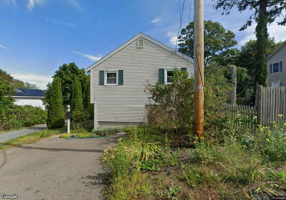
6 Armstrong Way Gloucester, MA 01930
Riverview NeighborhoodEstimated Value: $551,195 - $636,000
2
Beds
2
Baths
912
Sq Ft
$647/Sq Ft
Est. Value
About This Home
This home is located at 6 Armstrong Way, Gloucester, MA 01930 and is currently estimated at $589,799, approximately $646 per square foot. 6 Armstrong Way is a home located in Essex County with nearby schools including Plum Cove School, Ralph B O'maley Middle School, and Gloucester High School.
Ownership History
Date
Name
Owned For
Owner Type
Purchase Details
Closed on
Feb 22, 2005
Sold by
Agostini Barbara J and Agostini Thomas D
Bought by
Taveira Steven A and Taveira Joanne Moceri
Current Estimated Value
Home Financials for this Owner
Home Financials are based on the most recent Mortgage that was taken out on this home.
Original Mortgage
$80,000
Outstanding Balance
$40,743
Interest Rate
5.78%
Mortgage Type
Purchase Money Mortgage
Estimated Equity
$549,056
Create a Home Valuation Report for This Property
The Home Valuation Report is an in-depth analysis detailing your home's value as well as a comparison with similar homes in the area
Home Values in the Area
Average Home Value in this Area
Purchase History
| Date | Buyer | Sale Price | Title Company |
|---|---|---|---|
| Taveira Steven A | $305,000 | -- |
Source: Public Records
Mortgage History
| Date | Status | Borrower | Loan Amount |
|---|---|---|---|
| Open | Taveira Steven A | $16,000 | |
| Open | Taveira Steven A | $80,000 | |
| Previous Owner | Taveira Steven A | $40,000 | |
| Previous Owner | Taveira Steven A | $50,000 |
Source: Public Records
Tax History
| Year | Tax Paid | Tax Assessment Tax Assessment Total Assessment is a certain percentage of the fair market value that is determined by local assessors to be the total taxable value of land and additions on the property. | Land | Improvement |
|---|---|---|---|---|
| 2025 | $4,295 | $441,900 | $185,300 | $256,600 |
| 2024 | $4,372 | $449,300 | $176,400 | $272,900 |
| 2023 | $4,199 | $396,500 | $157,500 | $239,000 |
| 2022 | $3,927 | $334,800 | $137,000 | $197,800 |
| 2021 | $3,840 | $308,700 | $124,600 | $184,100 |
| 2020 | $3,587 | $290,900 | $124,600 | $166,300 |
| 2019 | $3,591 | $283,000 | $124,600 | $158,400 |
| 2018 | $3,388 | $262,000 | $124,600 | $137,400 |
| 2017 | $3,208 | $243,200 | $118,600 | $124,600 |
| 2016 | $3,197 | $234,900 | $123,800 | $111,100 |
| 2015 | $3,084 | $225,900 | $123,800 | $102,100 |
Source: Public Records
Map
Nearby Homes
- 13 Honeysuckle Rd
- 6 Monroe Ct
- 5 Lepage Ln
- 5 Samoset Rd Unit B
- 31 Echo Ave
- 15 Harvard St
- 13 Mystic Ave
- 98 Maplewood Ave
- 20 Beacon St
- 20 Beacon St Unit 2
- 20 Beacon St Unit 1
- 2 Finch Ln
- 40 Sargent St
- 33 Maplewood Ave Unit 310
- 33 Maplewood Ave Unit 16
- 5 Marshfield St
- 113 Pleasant St
- 55 Mansfield St Unit A
- 55 Mansfield St Unit B
- 55 Mansfield St
Your Personal Tour Guide
Ask me questions while you tour the home.