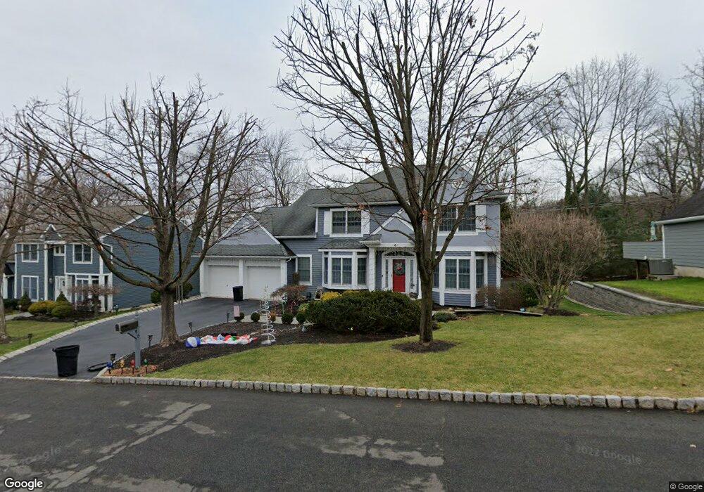
6 Baldwin Dr New Providence, NJ 07974
Estimated Value: $1,134,000 - $1,349,000
--
Bed
--
Bath
2,568
Sq Ft
$473/Sq Ft
Est. Value
About This Home
This home is located at 6 Baldwin Dr, New Providence, NJ 07974 and is currently estimated at $1,213,628, approximately $472 per square foot. 6 Baldwin Dr is a home located in Union County with nearby schools including New Providence High School, The Academy of Our Lady of Peace, and Scotch Plains Baptist Christian Day School.
Ownership History
Date
Name
Owned For
Owner Type
Purchase Details
Closed on
Dec 21, 2015
Sold by
Pennisi John G and Pennisi Renee M
Bought by
Jolly Amit and Jolly Madan,Shalini
Current Estimated Value
Home Financials for this Owner
Home Financials are based on the most recent Mortgage that was taken out on this home.
Original Mortgage
$577,500
Outstanding Balance
$458,372
Interest Rate
3.98%
Mortgage Type
New Conventional
Estimated Equity
$755,256
Create a Home Valuation Report for This Property
The Home Valuation Report is an in-depth analysis detailing your home's value as well as a comparison with similar homes in the area
Home Values in the Area
Average Home Value in this Area
Purchase History
| Date | Buyer | Sale Price | Title Company |
|---|---|---|---|
| Jolly Amit | $825,000 | -- |
Source: Public Records
Mortgage History
| Date | Status | Borrower | Loan Amount |
|---|---|---|---|
| Open | Jolly Amit | $577,500 |
Source: Public Records
Tax History Compared to Growth
Tax History
| Year | Tax Paid | Tax Assessment Tax Assessment Total Assessment is a certain percentage of the fair market value that is determined by local assessors to be the total taxable value of land and additions on the property. | Land | Improvement |
|---|---|---|---|---|
| 2025 | $21,531 | $417,100 | $130,500 | $286,600 |
| 2024 | $20,884 | $417,100 | $130,500 | $286,600 |
| 2023 | $20,884 | $417,100 | $130,500 | $286,600 |
| 2022 | $20,596 | $417,100 | $130,500 | $286,600 |
| 2021 | $20,446 | $417,100 | $130,500 | $286,600 |
| 2020 | $20,438 | $417,100 | $130,500 | $286,600 |
| 2019 | $20,313 | $417,100 | $130,500 | $286,600 |
| 2018 | $19,763 | $407,900 | $130,500 | $277,400 |
| 2017 | $19,441 | $407,900 | $130,500 | $277,400 |
| 2016 | $19,167 | $407,900 | $130,500 | $277,400 |
| 2015 | $18,902 | $407,900 | $130,500 | $277,400 |
| 2014 | $18,617 | $407,900 | $130,500 | $277,400 |
Source: Public Records
Map
Nearby Homes
- 33 Bristol Ct
- 132 Fairview Ave
- 41 Meadowview Ln
- 25 Oechsner Ct
- 34 Meadowview Ln
- 19 Guenevere Way Ondo
- 5 Berkeley Square Unit 5
- 30 Robbins Ave
- 25 Murray Hill Square
- 62 Springholm Dr Unit 62
- 11 Earl Place
- 86 Orion Rd
- 93 Park Edge Unit 3H
- 45 Wilson Dr
- 28 Peacock Ln Unit 28
- 78 Twin Falls Rd
- 282 South St
- 126 Snyder Ave
- 66 Evergreen Ave
- 20 High St