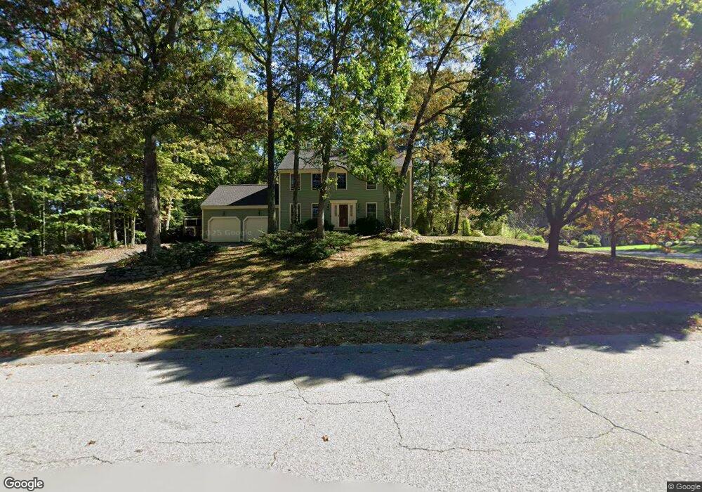
6 Bear Path Clinton, MA 01510
Estimated Value: $623,000 - $733,000
3
Beds
3
Baths
1,960
Sq Ft
$348/Sq Ft
Est. Value
About This Home
This home is located at 6 Bear Path, Clinton, MA 01510 and is currently estimated at $682,188, approximately $348 per square foot. 6 Bear Path is a home located in Worcester County with nearby schools including Clinton Elementary School, Clinton Senior High School, and Clinton Middle School.
Ownership History
Date
Name
Owned For
Owner Type
Purchase Details
Closed on
Oct 30, 2007
Sold by
Burns James D and Burns Nancy J
Bought by
Geiger Joseph M and Sargent Julie A
Current Estimated Value
Home Financials for this Owner
Home Financials are based on the most recent Mortgage that was taken out on this home.
Original Mortgage
$358,000
Outstanding Balance
$226,627
Interest Rate
6.39%
Mortgage Type
Purchase Money Mortgage
Estimated Equity
$455,561
Purchase Details
Closed on
Jun 18, 2001
Sold by
Delmonico James J and Delmonico Ronica L
Bought by
Burns James D and Burns Nancy J
Purchase Details
Closed on
Apr 27, 1992
Sold by
Greenwood Homes Inc
Bought by
Delmonico James J and Delmonico Ronica
Create a Home Valuation Report for This Property
The Home Valuation Report is an in-depth analysis detailing your home's value as well as a comparison with similar homes in the area
Home Values in the Area
Average Home Value in this Area
Purchase History
| Date | Buyer | Sale Price | Title Company |
|---|---|---|---|
| Geiger Joseph M | $376,900 | -- | |
| Burns James D | $310,000 | -- | |
| Delmonico James J | $168,375 | -- |
Source: Public Records
Mortgage History
| Date | Status | Borrower | Loan Amount |
|---|---|---|---|
| Open | Geiger Joseph M | $358,000 | |
| Previous Owner | Delmonico James J | $278,900 | |
| Previous Owner | Delmonico James J | $31,000 |
Source: Public Records
Tax History
| Year | Tax Paid | Tax Assessment Tax Assessment Total Assessment is a certain percentage of the fair market value that is determined by local assessors to be the total taxable value of land and additions on the property. | Land | Improvement |
|---|---|---|---|---|
| 2025 | $7,203 | $541,600 | $157,500 | $384,100 |
| 2024 | $7,107 | $540,900 | $157,500 | $383,400 |
| 2023 | $6,783 | $507,300 | $143,100 | $364,200 |
| 2022 | $6,650 | $446,000 | $130,100 | $315,900 |
| 2021 | $5,971 | $374,600 | $124,000 | $250,600 |
| 2020 | $5,803 | $374,600 | $124,000 | $250,600 |
| 2019 | $5,800 | $364,100 | $120,400 | $243,700 |
| 2018 | $5,581 | $328,700 | $120,400 | $208,300 |
| 2017 | $5,543 | $313,700 | $120,400 | $193,300 |
| 2016 | $5,495 | $318,200 | $120,400 | $197,800 |
| 2015 | $5,038 | $302,400 | $124,900 | $177,500 |
| 2014 | $4,884 | $302,400 | $124,900 | $177,500 |
Source: Public Records
Map
Nearby Homes
- 610 Ridgefield Cir Unit B
- 920 Ridgefield Cir Unit C
- 308 Ridgefield Cir Unit C
- 12 Woodruff Rd
- 46 Woodruff Rd
- 18 Sargent Rd
- 6 Mcnulty Rd
- 114 Oak Trail
- 155 Cedar St
- 93 Forest St
- 30 Henry St Unit 30B
- 15 Bufton Farm Rd
- 508 High St
- 167 Lancaster Rd
- 459 High St
- 25 Pearl St
- 57 Clark St
- 861 Main St
- 132 Kilbourn Rd
- 719 Main St
Your Personal Tour Guide
Ask me questions while you tour the home.