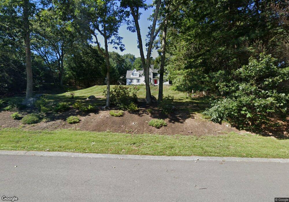
6 Birch Bark Rd Medway, MA 02053
Estimated Value: $905,315 - $1,202,000
4
Beds
3
Baths
2,630
Sq Ft
$399/Sq Ft
Est. Value
About This Home
This home is located at 6 Birch Bark Rd, Medway, MA 02053 and is currently estimated at $1,050,329, approximately $399 per square foot. 6 Birch Bark Rd is a home located in Norfolk County with nearby schools including John D. McGovern Elementary School, Burke-Memorial Elementary, and Medway Middle School.
Ownership History
Date
Name
Owned For
Owner Type
Purchase Details
Closed on
Sep 29, 2000
Sold by
Quattrocchi Aldo J and Quattrocchi Eileen C
Bought by
Nelson Todd F and Nelson Orene C
Current Estimated Value
Purchase Details
Closed on
Oct 16, 1998
Sold by
Alexander Capital Dev
Bought by
Quattrocchi Aldo J and Quattrocchi Eileen C
Create a Home Valuation Report for This Property
The Home Valuation Report is an in-depth analysis detailing your home's value as well as a comparison with similar homes in the area
Home Values in the Area
Average Home Value in this Area
Purchase History
| Date | Buyer | Sale Price | Title Company |
|---|---|---|---|
| Nelson Todd F | $439,900 | -- | |
| Quattrocchi Aldo J | $111,500 | -- |
Source: Public Records
Mortgage History
| Date | Status | Borrower | Loan Amount |
|---|---|---|---|
| Open | Quattrocchi Aldo J | $400,000 | |
| Closed | Quattrocchi Aldo J | $408,000 | |
| Closed | Quattrocchi Aldo J | $415,000 | |
| Closed | Quattrocchi Aldo J | $60,000 |
Source: Public Records
Tax History
| Year | Tax Paid | Tax Assessment Tax Assessment Total Assessment is a certain percentage of the fair market value that is determined by local assessors to be the total taxable value of land and additions on the property. | Land | Improvement |
|---|---|---|---|---|
| 2025 | $11,497 | $806,800 | $339,900 | $466,900 |
| 2024 | $11,618 | $806,800 | $339,900 | $466,900 |
| 2023 | $11,144 | $699,100 | $309,400 | $389,700 |
| 2022 | $10,312 | $609,100 | $228,800 | $380,300 |
| 2021 | $10,418 | $596,700 | $213,500 | $383,200 |
| 2020 | $10,304 | $588,800 | $213,500 | $375,300 |
| 2019 | $9,798 | $577,400 | $204,800 | $372,600 |
| 2018 | $10,096 | $571,700 | $204,800 | $366,900 |
| 2017 | $9,781 | $545,800 | $196,100 | $349,700 |
| 2016 | $9,687 | $534,900 | $185,200 | $349,700 |
| 2015 | $9,654 | $529,300 | $185,200 | $344,100 |
| 2014 | $9,113 | $483,700 | $174,300 | $309,400 |
Source: Public Records
Map
Nearby Homes
- 11 Fairway Ln
- 17 Fairway Ln
- 731 Norfolk St
- 0 Hill St
- 3 Jameson Dr Unit 3
- 40 Timber Crest Dr
- 124 Glen Ellen Blvd Unit 124
- 33 Gorwin Dr
- 6 Glen Ellen Blvd Unit 6
- 26 Timber Crest Dr
- 13 Hattie Ln Unit 13
- 66 Lakeshore Dr
- 50 Main St
- 84 Winthrop St
- 244 Rolling Meadow Dr
- 261 Rolling Meadow Dr
- 58 Holliston St
- 50 Walnut St
- 4 Brookview Rd
- 10 April Way
- 24 Lot 24 Birchbark
- 4 Birch Bark Rd
- 22 Broken Tree Rd
- 24 Broken Tree Rd
- 7 Birch Bark Rd
- 3 Birch Bark Rd
- 21 Lot 21 Broken Tree
- 16 Puddingstone Ln
- 20 Broken Tree Rd
- 26 Broken Tree Rd
- 14 Puddingstone Ln
- 1 Birch Bark Rd
- 19 Hickory Dr
- 23 Broken Tree Rd
- 19 Broken Tree Rd
- 12 Puddingstone Ln
- 20 Hickory Dr
- 17 Hickory Dr
- 15 Puddingstone Ln
- 38 Broken Tree Rd
Your Personal Tour Guide
Ask me questions while you tour the home.