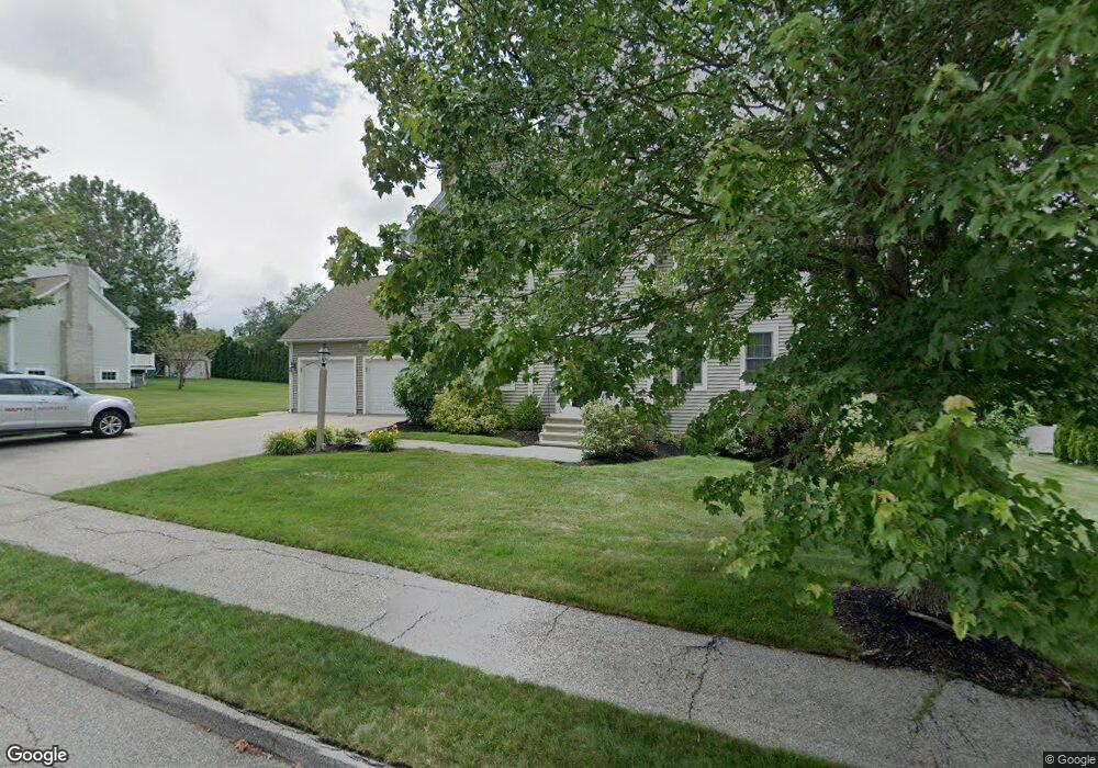
6 Bridle Path Auburn, MA 01501
West Auburn NeighborhoodEstimated Value: $632,706 - $774,000
3
Beds
3
Baths
1,946
Sq Ft
$363/Sq Ft
Est. Value
About This Home
This home is located at 6 Bridle Path, Auburn, MA 01501 and is currently estimated at $706,677, approximately $363 per square foot. 6 Bridle Path is a home located in Worcester County with nearby schools including Auburn Senior High School and Shrewsbury Montessori School - Auburn Campus.
Create a Home Valuation Report for This Property
The Home Valuation Report is an in-depth analysis detailing your home's value as well as a comparison with similar homes in the area
Home Values in the Area
Average Home Value in this Area
Tax History
| Year | Tax Paid | Tax Assessment Tax Assessment Total Assessment is a certain percentage of the fair market value that is determined by local assessors to be the total taxable value of land and additions on the property. | Land | Improvement |
|---|---|---|---|---|
| 2025 | $85 | $592,400 | $175,800 | $416,600 |
| 2024 | $8,419 | $563,900 | $169,200 | $394,700 |
| 2023 | $7,888 | $496,700 | $143,600 | $353,100 |
| 2022 | $7,349 | $436,900 | $143,600 | $293,300 |
| 2021 | $6,988 | $385,200 | $117,800 | $267,400 |
| 2020 | $6,926 | $385,200 | $117,800 | $267,400 |
| 2019 | $6,928 | $376,100 | $116,700 | $259,400 |
| 2018 | $6,747 | $365,900 | $109,200 | $256,700 |
| 2017 | $6,525 | $355,800 | $99,100 | $256,700 |
| 2016 | $6,393 | $353,400 | $102,200 | $251,200 |
| 2015 | $6,081 | $352,300 | $102,200 | $250,100 |
| 2014 | $5,930 | $343,000 | $97,200 | $245,800 |
Source: Public Records
Map
Nearby Homes
- 104 Appleton Rd
- 4 Athens St
- 0 Athens St
- 49 Prospect St
- 808 Washington St
- 17 Thayer Pond Dr Unit 2
- 19 Thayer Pond Dr Unit 3
- 4 Thayer Pond Dr Unit 20
- 6 Thayer Pond Dr Unit 11
- 24 Thayer Pond Dr Unit 17
- 34 Thayer Pond Dr Unit 8
- 155 Southbridge Rd
- 634 Oxford St S
- 35 Waterman Rd
- 31-37 Leicester St
- 45 Leicester St
- 9 B Wellington Rd
- 6 Laurelwood Dr
- 1 Shady Ln
- 751 Washington St Unit 43A
Your Personal Tour Guide
Ask me questions while you tour the home.