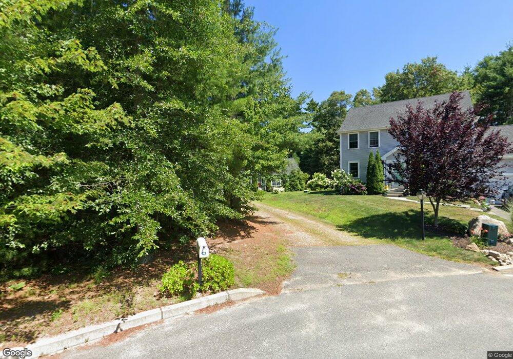
6 Brittany Dr Wareham, MA 02571
Estimated Value: $569,000 - $612,000
2
Beds
2
Baths
1,356
Sq Ft
$441/Sq Ft
Est. Value
About This Home
This home is located at 6 Brittany Dr, Wareham, MA 02571 and is currently estimated at $597,835, approximately $440 per square foot. 6 Brittany Dr is a home with nearby schools including Tabor Academy.
Ownership History
Date
Name
Owned For
Owner Type
Purchase Details
Closed on
Nov 5, 2015
Sold by
Becker Michael E and Becker Joy E
Bought by
Becker Irt and Reynolds
Current Estimated Value
Purchase Details
Closed on
Mar 16, 2015
Sold by
Maplewood Builders Llc
Bought by
Becker Michael E and Becker Joy E
Home Financials for this Owner
Home Financials are based on the most recent Mortgage that was taken out on this home.
Original Mortgage
$200,000
Interest Rate
3.67%
Mortgage Type
New Conventional
Create a Home Valuation Report for This Property
The Home Valuation Report is an in-depth analysis detailing your home's value as well as a comparison with similar homes in the area
Home Values in the Area
Average Home Value in this Area
Purchase History
| Date | Buyer | Sale Price | Title Company |
|---|---|---|---|
| Becker Irt | -- | -- | |
| Becker Irt | -- | -- | |
| Becker Michael E | $303,900 | -- | |
| Becker Michael E | $303,900 | -- |
Source: Public Records
Mortgage History
| Date | Status | Borrower | Loan Amount |
|---|---|---|---|
| Previous Owner | Becker Michael E | $200,000 |
Source: Public Records
Tax History Compared to Growth
Tax History
| Year | Tax Paid | Tax Assessment Tax Assessment Total Assessment is a certain percentage of the fair market value that is determined by local assessors to be the total taxable value of land and additions on the property. | Land | Improvement |
|---|---|---|---|---|
| 2025 | $5,926 | $568,700 | $130,300 | $438,400 |
| 2024 | $6,182 | $550,500 | $104,400 | $446,100 |
| 2023 | $5,617 | $496,900 | $95,000 | $401,900 |
| 2022 | $5,617 | $426,200 | $95,000 | $331,200 |
| 2021 | $5,554 | $412,900 | $95,000 | $317,900 |
| 2020 | $5,182 | $390,800 | $95,000 | $295,800 |
| 2019 | $4,771 | $359,000 | $100,400 | $258,600 |
| 2018 | $4,452 | $326,600 | $100,400 | $226,200 |
| 2017 | $4,139 | $307,700 | $100,400 | $207,300 |
| 2016 | $4,259 | $314,800 | $108,200 | $206,600 |
| 2015 | $1,414 | $108,200 | $108,200 | $0 |
| 2014 | $1,512 | $117,700 | $117,700 | $0 |
Source: Public Records
Map
Nearby Homes
- 687 Main St
- 19 Station St
- 437 Main St
- 233 Marion Rd
- 53 Starboard Dr Unit 36G
- 21 Windsor Dr
- 6 A Rock Marsh Rd Unit A
- 6 A Rock Marsh Rd Unit A
- 110 Mayflower Ridge Dr
- 62 High St
- 850 Main St
- 189 Pine View Terrace
- 5 Sola's Cir
- 4 Bachant Way
- 199 Windswept Rd
- 87 Great Hill Dr
- 45 Main St Unit 38
- 59 Timber Ln
- 15 Broadmarsh Ave
- 21 Weston Ave
- 6 Brittany Dr
- 6 Lots Brittany Dr
- 8 Brittany Dr
- 8 Brittany Dr
- 1 Brittany Dr
- 5 Brittany Dr
- 5 Brittany Dr
- 7 Brittany Dr
- Lot 3 Brittany Dr
- 4 Brittany Dr
- 4 Brittany Dr
- 199 Hathaway St
- Lot 6 Brittany Dr
- 195 Hathaway St
- 197 Hathaway St
- 201 Hathaway St
- 2 Brittany Dr
- 205 Hathaway St
- 207 Hathaway St
- 8 Dinahs Way