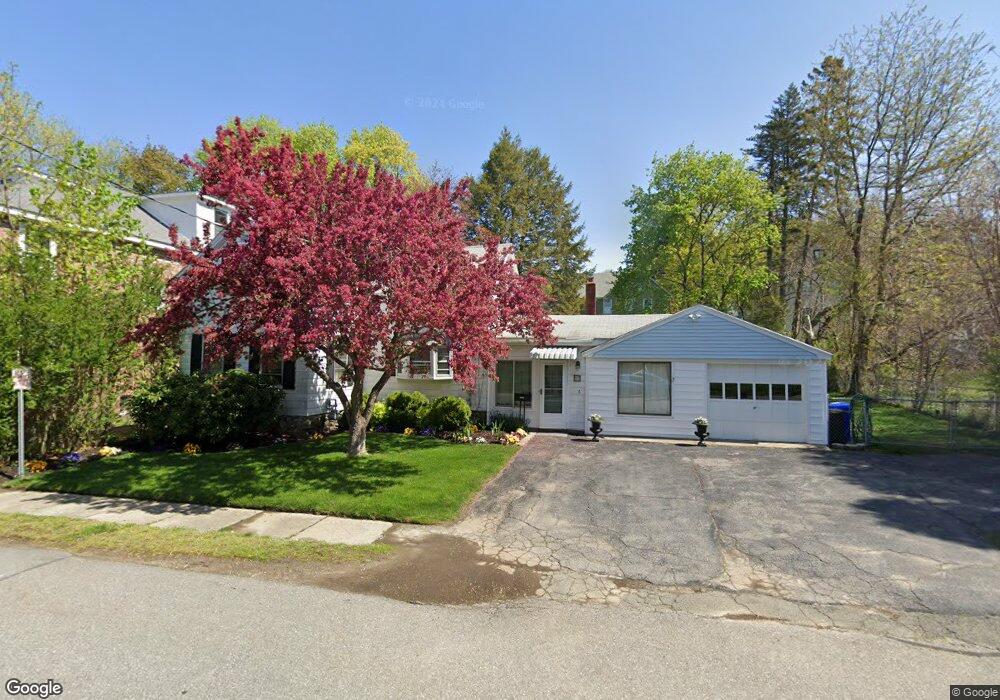
6 Butler Ave Maynard, MA 01754
Estimated Value: $500,762 - $638,000
2
Beds
1
Bath
1,138
Sq Ft
$494/Sq Ft
Est. Value
About This Home
This home is located at 6 Butler Ave, Maynard, MA 01754 and is currently estimated at $562,441, approximately $494 per square foot. 6 Butler Ave is a home located in Middlesex County with nearby schools including Green Meadow School, Fowler School, and Maynard High School.
Ownership History
Date
Name
Owned For
Owner Type
Purchase Details
Closed on
Nov 3, 2010
Sold by
Mattox Stephen
Bought by
Banta Mark and Ryan Cheryl
Current Estimated Value
Purchase Details
Closed on
Oct 15, 2003
Sold by
Damelio Ami E and Damelio Brian R
Bought by
Mattox Stephen
Home Financials for this Owner
Home Financials are based on the most recent Mortgage that was taken out on this home.
Original Mortgage
$205,600
Interest Rate
6.43%
Mortgage Type
Purchase Money Mortgage
Purchase Details
Closed on
May 1, 1998
Sold by
Barilone Loretta M
Bought by
Damelio Brian R and Harris Ami E
Home Financials for this Owner
Home Financials are based on the most recent Mortgage that was taken out on this home.
Original Mortgage
$144,734
Interest Rate
7.04%
Mortgage Type
Purchase Money Mortgage
Create a Home Valuation Report for This Property
The Home Valuation Report is an in-depth analysis detailing your home's value as well as a comparison with similar homes in the area
Home Values in the Area
Average Home Value in this Area
Purchase History
| Date | Buyer | Sale Price | Title Company |
|---|---|---|---|
| Banta Mark | $176,000 | -- | |
| Mattox Stephen | $257,000 | -- | |
| Damelio Brian R | $148,900 | -- |
Source: Public Records
Mortgage History
| Date | Status | Borrower | Loan Amount |
|---|---|---|---|
| Previous Owner | Mattox Stephen | $205,600 | |
| Previous Owner | Damelio Brian R | $24,000 | |
| Previous Owner | Damelio Brian R | $144,734 |
Source: Public Records
Tax History
| Year | Tax Paid | Tax Assessment Tax Assessment Total Assessment is a certain percentage of the fair market value that is determined by local assessors to be the total taxable value of land and additions on the property. | Land | Improvement |
|---|---|---|---|---|
| 2025 | $7,563 | $424,200 | $271,200 | $153,000 |
| 2024 | $7,086 | $396,300 | $258,300 | $138,000 |
| 2023 | $7,082 | $373,300 | $246,000 | $127,300 |
| 2022 | $6,380 | $310,900 | $206,600 | $104,300 |
| 2021 | $6,472 | $321,200 | $206,600 | $114,600 |
| 2020 | $6,225 | $301,600 | $187,000 | $114,600 |
| 2019 | $5,990 | $284,700 | $178,600 | $106,100 |
| 2018 | $5,683 | $251,000 | $162,400 | $88,600 |
| 2017 | $5,525 | $251,000 | $162,400 | $88,600 |
| 2016 | $5,334 | $251,000 | $162,400 | $88,600 |
| 2015 | $5,151 | $230,900 | $155,000 | $75,900 |
| 2014 | $5,038 | $226,000 | $150,100 | $75,900 |
Source: Public Records
Map
Nearby Homes
- 22 Douglas Ave Unit 2
- 22 Douglas Ave Unit 1
- 5 Hayes St Unit 5
- 13 Arthur St Unit 15
- 31-33 Roosevelt St
- 66 Powder Mill Rd
- 68 Powder Mill Rd
- 70 Powder Mill Rd
- 23 Deer Path Unit 5
- 12 Brown St
- 36 Brown St
- 63 Conant St
- 10 Mill St Unit B
- 41 Taylor Rd
- 153 Summer St
- 96 Forest Ridge Rd Unit 96
- 57 Longfellow Rd
- 1 Drummer Rd Unit A5
- 377 Willis Rd
- 31 Drummer Rd Unit 31
Your Personal Tour Guide
Ask me questions while you tour the home.