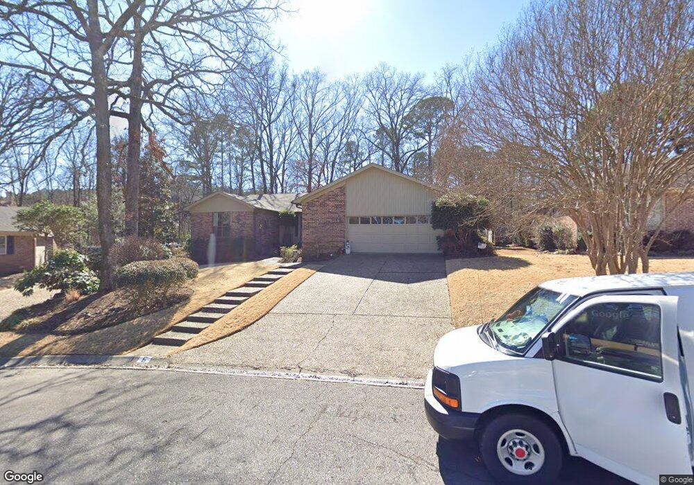
6 Cannon Ct Little Rock, AR 72212
River Mountain NeighborhoodEstimated Value: $360,630 - $386,000
--
Bed
2
Baths
2,448
Sq Ft
$153/Sq Ft
Est. Value
About This Home
This home is located at 6 Cannon Ct, Little Rock, AR 72212 and is currently estimated at $375,158, approximately $153 per square foot. 6 Cannon Ct is a home located in Pulaski County with nearby schools including Don Roberts Elementary School, Pinnacle View Middle School, and Founders Classical Academy - West Little Rock.
Ownership History
Date
Name
Owned For
Owner Type
Purchase Details
Closed on
Jan 6, 2009
Sold by
Cates Lorita Jeanette Franz and John Wallace
Bought by
Cates Lorita Jeanette Franz and John Wallace
Current Estimated Value
Purchase Details
Closed on
Feb 28, 2005
Sold by
Jeff Fuller Homes Llc
Bought by
Blanchard Wayne
Home Financials for this Owner
Home Financials are based on the most recent Mortgage that was taken out on this home.
Original Mortgage
$100,000
Outstanding Balance
$50,895
Interest Rate
5.77%
Mortgage Type
New Conventional
Estimated Equity
$324,263
Purchase Details
Closed on
May 12, 1999
Sold by
Cates John W and Cates Lorita J
Bought by
Cates John Wallace and Cates Lorita Jeanette Franz
Create a Home Valuation Report for This Property
The Home Valuation Report is an in-depth analysis detailing your home's value as well as a comparison with similar homes in the area
Home Values in the Area
Average Home Value in this Area
Purchase History
| Date | Buyer | Sale Price | Title Company |
|---|---|---|---|
| Cates Lorita Jeanette Franz | -- | None Available | |
| Blanchard Wayne | $404,000 | Stewart Title Of Ar Inc | |
| Cates John Wallace | -- | -- |
Source: Public Records
Mortgage History
| Date | Status | Borrower | Loan Amount |
|---|---|---|---|
| Open | Blanchard Wayne | $100,000 |
Source: Public Records
Tax History Compared to Growth
Tax History
| Year | Tax Paid | Tax Assessment Tax Assessment Total Assessment is a certain percentage of the fair market value that is determined by local assessors to be the total taxable value of land and additions on the property. | Land | Improvement |
|---|---|---|---|---|
| 2025 | $4,003 | $57,192 | $11,200 | $45,992 |
| 2024 | $3,765 | $57,192 | $11,200 | $45,992 |
| 2023 | $3,765 | $57,192 | $11,200 | $45,992 |
| 2022 | $3,452 | $57,192 | $11,200 | $45,992 |
| 2021 | $3,161 | $44,830 | $8,100 | $36,730 |
| 2020 | $3,138 | $44,830 | $8,100 | $36,730 |
| 2019 | $3,138 | $44,830 | $8,100 | $36,730 |
| 2018 | $3,138 | $44,830 | $8,100 | $36,730 |
| 2017 | $3,138 | $44,830 | $8,100 | $36,730 |
| 2016 | $3,222 | $46,030 | $8,800 | $37,230 |
| 2015 | $3,227 | $46,030 | $8,800 | $37,230 |
| 2014 | $3,227 | $46,028 | $8,800 | $37,228 |
Source: Public Records
Map
Nearby Homes
- 31 La Scala Ct
- 21 La Scala Ct
- 11 La Scala Ct
- 7 Longlea Cove
- 25 Windsor Ct
- 9 Longlea Cove
- 2 Hyde Ct
- 2110 Westport Loop
- 14 Pointe Clear Dr
- 2201 Huntleigh Ct
- 2 Sawgrass Ct
- 3403 Montrose Dr
- 2 Longlea Dr
- 186 Pebble Beach Dr
- 18 Hickory Hills Cir
- Lot 89 Beckenham Dr
- 2111 Hinson Rd
- 22 Flourite Cove
- 4 White Willow Ct
- 11 Mountain View Ct
- 0 Cannon Ct
- 4 Cannon Ct
- 22 Valley Forge Dr
- Lot 63 Dorado Beach Dr
- 9 Cannon Ct
- 24 Valley Forge Dr
- 27 Lascala Ct
- 29 Lascala Ct
- 25 Lascala Ct
- 7 Cannon Ct
- 5 Cannon Ct
- 18 Valley Forge Dr
- 23 Lascala Ct
- 23 La Scala Ct
- 31 Lascala Ct
- 26 Valley Forge Dr
- 23 Valley Forge Dr
- 21 Valley Forge Dr
- 17 Valley Forge Dr
- 21 Lascala Ct