4
Beds
4
Baths
3,237
Sq Ft
0.57
Acres Lot
About This Home
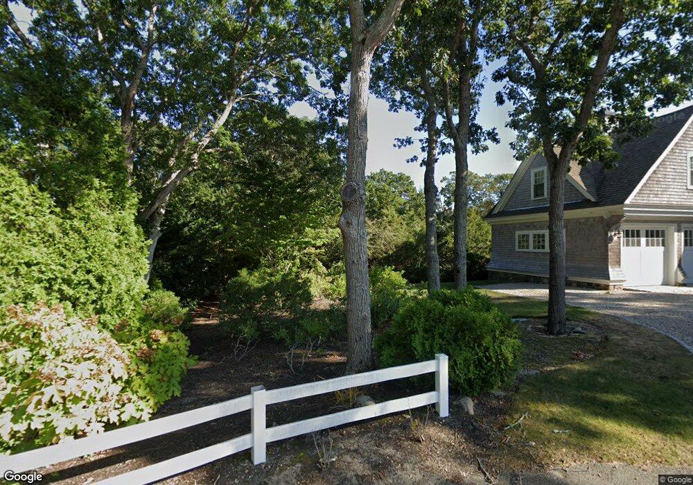
This home is located at 6 Chart Way, Mashpee, MA 02649. 6 Chart Way is a home located in Barnstable County with nearby schools including Kenneth C. Coombs School, Quashnet School, and Mashpee Middle School.
Create a Home Valuation Report for This Property
The Home Valuation Report is an in-depth analysis detailing your home's value as well as a comparison with similar homes in the area
Home Values in the Area
Average Home Value in this Area
Map
Nearby Homes
- 16 Bosuns Ln
- 16 Bosun's Ln
- 18 Spoondrift Cir
- 157 Wading Place Rd
- 86 Summersea Rd
- 102 Summersea Rd
- 80 & 86 Summersea Rd
- 80 Summersea Rd
- 55 Summersea Rd
- 35 Shore Dr
- 140 Summersea Rd
- 10 Rock Landing Rd
- 37 Uncle Henrys Rd
- 444 Vineyard Rd
- 25 Clover Ln
- 14 Azalea Ln
- 79 Cobblestone Cir
- 26 The Morgan Cir
- 190 Vineyard Rd
- 26 Cobblestone Cir
- 3 Bight Cir
- 51 Popponesset Island Rd
- 7 Bight Cir
- 6 Bight Cir
- 8 Chart Way
- 9 Bight Cir
- 45 Popponesset Island Rd
- 9 Chart Way
- 67 Popponesset Island Rd
- 17 Taffrail Way
- 11 Taffrail Way
- 50 Popponesset Island Rd
- 58 Popponesset Island Rd
- 7 Chart Way
- 64 Popponesset Island Rd
- 44 Popponesset Island Rd
- 75 Popponesset Island Rd
- 21 Taffrail Way
- 39 Popponesset Island Rd
- 150 Waterway
Your Personal Tour Guide
Ask me questions while you tour the home.