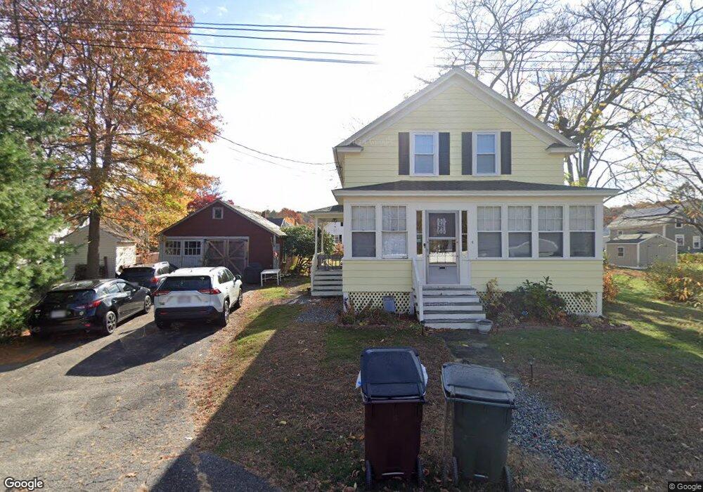
6 Currier Ave Amesbury, MA 01913
Estimated Value: $512,000 - $598,000
3
Beds
1
Bath
1,116
Sq Ft
$493/Sq Ft
Est. Value
About This Home
This home is located at 6 Currier Ave, Amesbury, MA 01913 and is currently estimated at $549,833, approximately $492 per square foot. 6 Currier Ave is a home located in Essex County with nearby schools including Amesbury High School and Amesbury Seventh-Day Adventist School.
Ownership History
Date
Name
Owned For
Owner Type
Purchase Details
Closed on
Jun 1, 2009
Sold by
Melia Dennis F and Melia Frances T
Bought by
Collin Michelle
Current Estimated Value
Home Financials for this Owner
Home Financials are based on the most recent Mortgage that was taken out on this home.
Original Mortgage
$221,906
Outstanding Balance
$140,958
Interest Rate
4.87%
Mortgage Type
Purchase Money Mortgage
Estimated Equity
$408,875
Create a Home Valuation Report for This Property
The Home Valuation Report is an in-depth analysis detailing your home's value as well as a comparison with similar homes in the area
Home Values in the Area
Average Home Value in this Area
Purchase History
| Date | Buyer | Sale Price | Title Company |
|---|---|---|---|
| Collin Michelle | $226,000 | -- |
Source: Public Records
Mortgage History
| Date | Status | Borrower | Loan Amount |
|---|---|---|---|
| Open | Collin Michelle | $6,392 | |
| Open | Collin Michelle | $221,906 |
Source: Public Records
Tax History Compared to Growth
Tax History
| Year | Tax Paid | Tax Assessment Tax Assessment Total Assessment is a certain percentage of the fair market value that is determined by local assessors to be the total taxable value of land and additions on the property. | Land | Improvement |
|---|---|---|---|---|
| 2025 | $6,581 | $430,100 | $207,200 | $222,900 |
| 2024 | $6,237 | $398,800 | $195,400 | $203,400 |
| 2023 | $6,100 | $373,300 | $169,900 | $203,400 |
| 2022 | $5,606 | $316,900 | $147,800 | $169,100 |
| 2021 | $5,307 | $290,800 | $114,100 | $176,700 |
| 2020 | $4,563 | $265,600 | $109,700 | $155,900 |
| 2019 | $4,596 | $250,200 | $109,700 | $140,500 |
| 2018 | $4,447 | $234,200 | $104,500 | $129,700 |
| 2017 | $4,311 | $216,100 | $104,500 | $111,600 |
| 2016 | $4,289 | $211,500 | $104,500 | $107,000 |
| 2015 | $4,233 | $206,100 | $104,500 | $101,600 |
| 2014 | $4,114 | $196,200 | $104,500 | $91,700 |
Source: Public Records
Map
Nearby Homes
- 118 Elm St
- 161 Elm St Unit A
- 97 Elm St
- 25 Cedar St Unit 4
- 25 Cedar St Unit 14
- 25 Cedar St Unit 7
- 204 Elm St
- 101 Market St Unit A
- 105 Market St Unit B
- 102 Market St
- 3 Arlington St
- 43 Aubin St Unit 43
- 37 Millyard Unit 204
- 37 Powow St
- 4 Winter St
- 57 Clinton St
- 48 Orchard St
- 93 Friend St
- 1 Stacey Ln
- 4 Larnard Ct
- 18 Madison St
- 61 Huntington Ave
- 59 Huntington Ave
- 63 Huntington Ave
- 12 Madison St
- 11 Currier Ave
- 65 Huntington Ave
- 39 Huntington Ave
- 12 Currier Ave
- 10 Madison St
- 54 Huntington Ave
- 37 Huntington Ave
- 19 Madison St
- 40 Huntington Ave
- 56 Hunington Ave
- 56 Huntington Ave
- 6 Madison St
- 13 Currier Ave
- 38 Huntington Ave
- 21 C&D Madison St