6 Curtis Dr Sherman, CT 06784
Estimated Value: $599,875 - $784,000
3
Beds
3
Baths
2,552
Sq Ft
$270/Sq Ft
Est. Value
About This Home
This home is located at 6 Curtis Dr, Sherman, CT 06784 and is currently estimated at $687,969, approximately $269 per square foot. 6 Curtis Dr is a home located in Fairfield County with nearby schools including Sherman School.
Ownership History
Date
Name
Owned For
Owner Type
Purchase Details
Closed on
Jan 16, 2002
Sold by
Walstrom Thomas V
Bought by
Hernon Joseph L and Smith-Hernon Jeanne
Current Estimated Value
Home Financials for this Owner
Home Financials are based on the most recent Mortgage that was taken out on this home.
Original Mortgage
$170,000
Interest Rate
6.84%
Create a Home Valuation Report for This Property
The Home Valuation Report is an in-depth analysis detailing your home's value as well as a comparison with similar homes in the area
Home Values in the Area
Average Home Value in this Area
Purchase History
| Date | Buyer | Sale Price | Title Company |
|---|---|---|---|
| Hernon Joseph L | $319,900 | -- |
Source: Public Records
Mortgage History
| Date | Status | Borrower | Loan Amount |
|---|---|---|---|
| Open | Hernon Joseph L | $234,000 | |
| Closed | Hernon Joseph L | $66,150 | |
| Closed | Hernon Joseph L | $198,000 | |
| Closed | Hernon Joseph L | $170,000 |
Source: Public Records
Tax History Compared to Growth
Tax History
| Year | Tax Paid | Tax Assessment Tax Assessment Total Assessment is a certain percentage of the fair market value that is determined by local assessors to be the total taxable value of land and additions on the property. | Land | Improvement |
|---|---|---|---|---|
| 2025 | $4,278 | $256,600 | $82,700 | $173,900 |
| 2024 | $4,198 | $256,600 | $82,700 | $173,900 |
| 2023 | $4,573 | $256,600 | $82,700 | $173,900 |
| 2022 | $4,665 | $256,600 | $82,700 | $173,900 |
| 2021 | $4,783 | $256,600 | $82,700 | $173,900 |
| 2020 | $4,904 | $256,600 | $82,700 | $173,900 |
| 2019 | $9,217 | $256,600 | $82,700 | $173,900 |
| 2018 | $5,373 | $264,300 | $87,100 | $177,200 |
| 2017 | $5,373 | $264,300 | $87,100 | $177,200 |
| 2016 | $5,374 | $264,320 | $87,080 | $177,240 |
| 2015 | $5,297 | $264,320 | $87,080 | $177,240 |
| 2014 | $5,244 | $264,320 | $87,080 | $177,240 |
Source: Public Records
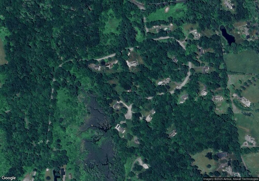
Map
Nearby Homes
- 49 Quaker Ridge Rd
- 107 Church Rd
- 00 Anderson Rd
- 2 Coburn Road W, She Coburn Rd W
- 6 Byrds Hill Rd
- 36 Byrds Hill Rd
- 604 N Quaker Hill Rd
- 16 Anderson Rd
- 1 Cloverleaf Farm S
- 7 Ridge Rd
- 6 Brinsmade Ln
- 77 Squash Hollow Rd
- 165 Duell Hollow Rd
- 55 Colonial Ridge Dr
- 43 Meeting House Rd
- 48 Gaylord Rd
- 31 Cedar Hill Rd
- 21 Holiday Point Rd
- 43 Gaylord Rd
- 1 Hoyt Rd