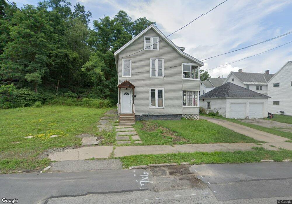
6 Curtis St Gloversville, NY 12078
Estimated Value: $106,000 - $125,000
6
Beds
2
Baths
2,643
Sq Ft
$44/Sq Ft
Est. Value
About This Home
This home is located at 6 Curtis St, Gloversville, NY 12078 and is currently estimated at $115,041, approximately $43 per square foot. 6 Curtis St is a home located in Fulton County with nearby schools including Boulevard School, Gloversville Middle School, and Gloversville High School.
Ownership History
Date
Name
Owned For
Owner Type
Purchase Details
Closed on
Mar 9, 2022
Sold by
Johnstown Enterprises Llc
Bought by
Gomez Carlos and Navas Isamar
Current Estimated Value
Purchase Details
Closed on
Dec 15, 2021
Sold by
Micropolis Dev Grp Llc
Bought by
Johnstown Enterprises Llc
Purchase Details
Closed on
Feb 7, 2020
Sold by
Pagegulotta Christian and Pagegulotta Shane
Bought by
Restoration All Group Llc
Purchase Details
Closed on
Jan 14, 2020
Sold by
Ashdown Jesse
Bought by
Restoration Alliance Grp
Purchase Details
Closed on
Aug 29, 2007
Sold by
Harrington Susan
Bought by
Gulotta Shane
Purchase Details
Closed on
Sep 1, 2005
Sold by
Susan Rybaczewski
Bought by
Harrington Susan
Create a Home Valuation Report for This Property
The Home Valuation Report is an in-depth analysis detailing your home's value as well as a comparison with similar homes in the area
Home Values in the Area
Average Home Value in this Area
Purchase History
| Date | Buyer | Sale Price | Title Company |
|---|---|---|---|
| Gomez Carlos | $26,000 | None Available | |
| Johnstown Enterprises Llc | $14,000 | None Available | |
| Restoration All Group Llc | $5,901 | None Available | |
| Restoration Alliance Grp | $5,901 | None Available | |
| Gulotta Shane | $33,750 | Robert Maider | |
| Harrington Susan | $17,000 | David Ii Malone |
Source: Public Records
Mortgage History
| Date | Status | Borrower | Loan Amount |
|---|---|---|---|
| Previous Owner | Restoration All Group Llc | $40,000 |
Source: Public Records
Tax History Compared to Growth
Tax History
| Year | Tax Paid | Tax Assessment Tax Assessment Total Assessment is a certain percentage of the fair market value that is determined by local assessors to be the total taxable value of land and additions on the property. | Land | Improvement |
|---|---|---|---|---|
| 2024 | $2,054 | $62,200 | $9,300 | $52,900 |
| 2023 | $1,950 | $62,200 | $9,300 | $52,900 |
| 2022 | $1,931 | $62,200 | $9,300 | $52,900 |
| 2021 | $1,888 | $62,200 | $9,300 | $52,900 |
| 2020 | $1,956 | $62,200 | $9,300 | $52,900 |
| 2019 | -- | $62,200 | $9,300 | $52,900 |
| 2018 | $3,208 | $62,200 | $9,300 | $52,900 |
| 2017 | $1,927 | $62,200 | $9,300 | $52,900 |
Source: Public Records
Map
Nearby Homes