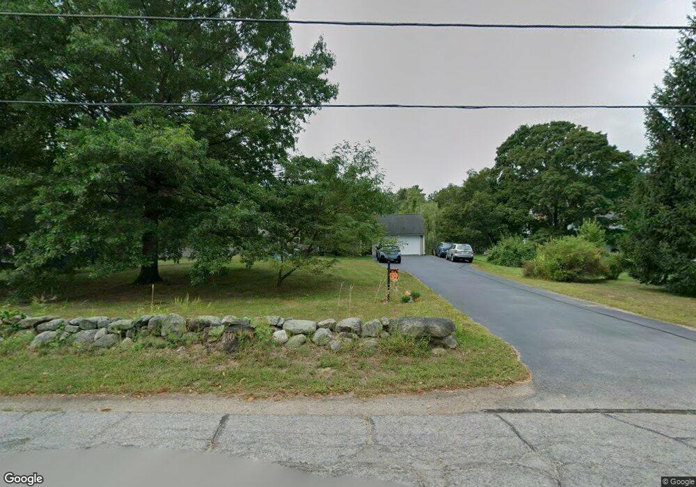
6 Davis Ln Amherst, NH 03031
Estimated Value: $586,000 - $754,000
4
Beds
3
Baths
2,240
Sq Ft
$302/Sq Ft
Est. Value
About This Home
This home is located at 6 Davis Ln, Amherst, NH 03031 and is currently estimated at $676,164, approximately $301 per square foot. 6 Davis Ln is a home with nearby schools including Wilkins Elementary School, Amherst Middle School, and Souhegan Cooperative High School.
Create a Home Valuation Report for This Property
The Home Valuation Report is an in-depth analysis detailing your home's value as well as a comparison with similar homes in the area
Home Values in the Area
Average Home Value in this Area
Tax History
| Year | Tax Paid | Tax Assessment Tax Assessment Total Assessment is a certain percentage of the fair market value that is determined by local assessors to be the total taxable value of land and additions on the property. | Land | Improvement |
|---|---|---|---|---|
| 2025 | $12,067 | $503,200 | $235,100 | $268,100 |
| 2024 | $11,538 | $503,200 | $235,100 | $268,100 |
| 2023 | $11,010 | $503,200 | $235,100 | $268,100 |
| 2022 | $10,633 | $503,200 | $235,100 | $268,100 |
| 2021 | $10,723 | $503,200 | $235,100 | $268,100 |
| 2020 | $10,538 | $370,000 | $182,400 | $187,600 |
| 2019 | $9,975 | $370,000 | $182,400 | $187,600 |
| 2018 | $10,075 | $370,000 | $182,400 | $187,600 |
| 2017 | $9,624 | $370,000 | $182,400 | $187,600 |
| 2016 | $9,287 | $370,000 | $182,400 | $187,600 |
| 2015 | $9,726 | $367,300 | $203,500 | $163,800 |
| 2014 | $9,792 | $367,300 | $203,500 | $163,800 |
| 2013 | $9,715 | $367,300 | $203,500 | $163,800 |
Source: Public Records
Map
Nearby Homes
- 135 Amherst St Unit 28
- 22 Atherton Ln
- 27 Nathan Lord Rd
- 50 Christian Hill Rd
- 2A Renee Dr
- 13 Mulberry Ln
- 3 Renee Dr
- 14 Boylston Terrace
- 1A Debbie Ln
- 57 Patch Hill Ln
- 0 Claude Rd
- 28 Spring Rd
- 229 Mont Vernon Rd
- 15 Martingale Rd
- 18 Souhegan St
- 11 Myrtle St
- 5 Whiting Farm Dr
- 16 Gowing Ln
- 3 Abby Ln Unit 1
- 31 Franklin St
Your Personal Tour Guide
Ask me questions while you tour the home.