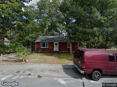
6 Devonshire Ln South Dennis, MA 02660
South Dennis NeighborhoodEstimated Value: $511,137 - $549,000
2
Beds
1
Bath
800
Sq Ft
$662/Sq Ft
Est. Value
About This Home
This home is located at 6 Devonshire Ln, South Dennis, MA 02660 and is currently estimated at $529,784, approximately $662 per square foot. 6 Devonshire Ln is a home located in Barnstable County with nearby schools including Dennis-Yarmouth Regional High School and St. Pius X. School.
Ownership History
Date
Name
Owned For
Owner Type
Purchase Details
Closed on
Dec 27, 1996
Sold by
Princi Michael J and More Genevieve R
Bought by
Souve Lori A
Current Estimated Value
Home Financials for this Owner
Home Financials are based on the most recent Mortgage that was taken out on this home.
Original Mortgage
$76,415
Interest Rate
7.55%
Mortgage Type
Purchase Money Mortgage
Create a Home Valuation Report for This Property
The Home Valuation Report is an in-depth analysis detailing your home's value as well as a comparison with similar homes in the area
Home Values in the Area
Average Home Value in this Area
Purchase History
| Date | Buyer | Sale Price | Title Company |
|---|---|---|---|
| Souve Lori A | $85,000 | -- |
Source: Public Records
Mortgage History
| Date | Status | Borrower | Loan Amount |
|---|---|---|---|
| Open | Souve Lori A | $25,000 | |
| Open | Souve Lori A | $107,000 | |
| Closed | Souve Lori A | $40,000 | |
| Closed | Souve Lori A | $68,000 | |
| Closed | Souve Lori A | $76,415 |
Source: Public Records
Tax History Compared to Growth
Tax History
| Year | Tax Paid | Tax Assessment Tax Assessment Total Assessment is a certain percentage of the fair market value that is determined by local assessors to be the total taxable value of land and additions on the property. | Land | Improvement |
|---|---|---|---|---|
| 2025 | $2,014 | $465,200 | $144,500 | $320,700 |
| 2024 | $1,871 | $426,300 | $139,000 | $287,300 |
| 2023 | $1,810 | $387,500 | $126,300 | $261,200 |
| 2022 | $1,793 | $320,100 | $126,500 | $193,600 |
| 2021 | $1,707 | $283,100 | $124,000 | $159,100 |
| 2020 | $3,577 | $268,400 | $124,000 | $144,400 |
| 2019 | $1,617 | $262,100 | $133,700 | $128,400 |
| 2018 | $1,474 | $232,500 | $115,700 | $116,800 |
| 2017 | $3,069 | $228,800 | $115,700 | $113,100 |
| 2016 | $1,418 | $217,200 | $121,500 | $95,700 |
| 2015 | $1,390 | $217,200 | $121,500 | $95,700 |
| 2014 | $1,276 | $201,000 | $104,100 | $96,900 |
Source: Public Records
Map
Nearby Homes
- 77 Kingswear Cir
- 27 Openfield Rd
- 61 Uncle Bills Way
- 15 Constance Ann Way
- 25 Skerry Rd
- 7 Vinland Dr
- 28 Thorwald Dr
- 12 Longview Dr
- 17 Fairmount Rd
- 17 Fairmount Rd
- 24 Wildwood St
- 261 Old Chatham Rd
- 64 Old Fish House Rd
- 62 Old Fish House Rd
- 315 Mayfair Rd
- 2 Buttercup Ln
- 116 Mayflower Terrace
- 24 Hemlock Ln
- 49 Lady Slipper Dr
- 11 Perseverance Path
- 6 Devonshire Ln
- 10 Devonshire Ln
- 5 Coventry Way
- 9 Coventry Way
- 29 Kingswear Cir
- 5 Devonshire Ln
- 9 Devonshire Ln
- 87 Charing Cross Rd
- 33 Kingswear Cir
- 16 Devonshire Ln
- 15 Coventry Way
- 17 Kingswear Cir
- 15 Devonshire Ln
- 6 Sheffield Ave
- 10 Kingswear Cir
- 10 Sheffield Ave
- 11 Kingswear Cir
- 8 Coventry Way
- 37 Kingswear Cir
- 58 Davidson Ave