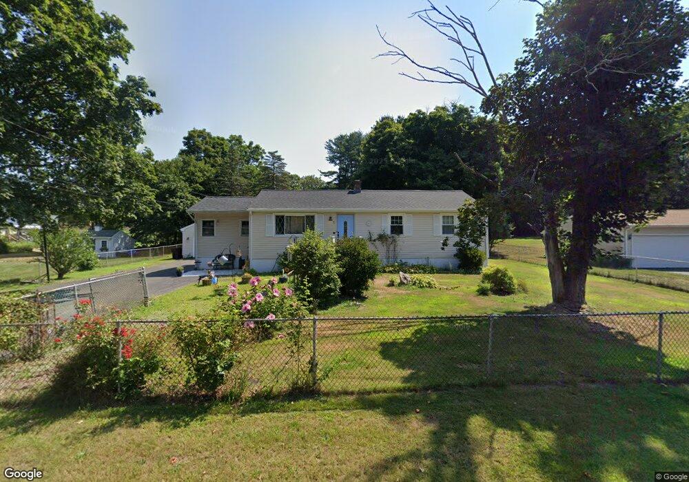
6 Doris St Unionville, CT 06085
Estimated Value: $410,000 - $460,000
3
Beds
2
Baths
1,200
Sq Ft
$356/Sq Ft
Est. Value
About This Home
This home is located at 6 Doris St, Unionville, CT 06085 and is currently estimated at $427,539, approximately $356 per square foot. 6 Doris St is a home located in Hartford County with nearby schools including West Woods Upper Elementary School, Irving A. Robbins Middle School, and Farmington High School.
Ownership History
Date
Name
Owned For
Owner Type
Purchase Details
Closed on
Sep 1, 1999
Sold by
Claffaglione Vito and Claffaglione Alba
Bought by
Papaleo William P and Papaleo Roseanne D
Current Estimated Value
Create a Home Valuation Report for This Property
The Home Valuation Report is an in-depth analysis detailing your home's value as well as a comparison with similar homes in the area
Home Values in the Area
Average Home Value in this Area
Purchase History
| Date | Buyer | Sale Price | Title Company |
|---|---|---|---|
| Papaleo William P | $152,000 | -- |
Source: Public Records
Mortgage History
| Date | Status | Borrower | Loan Amount |
|---|---|---|---|
| Open | Papaleo William P | $196,475 | |
| Closed | Papaleo William P | $196,000 | |
| Closed | Papaleo William P | $196,000 | |
| Closed | Papaleo William P | $149,036 |
Source: Public Records
Tax History Compared to Growth
Tax History
| Year | Tax Paid | Tax Assessment Tax Assessment Total Assessment is a certain percentage of the fair market value that is determined by local assessors to be the total taxable value of land and additions on the property. | Land | Improvement |
|---|---|---|---|---|
| 2025 | $5,743 | $215,740 | $95,550 | $120,190 |
| 2024 | $5,491 | $215,740 | $95,550 | $120,190 |
| 2023 | $5,223 | $215,740 | $95,550 | $120,190 |
| 2022 | $5,146 | $175,520 | $86,920 | $88,600 |
| 2021 | $5,057 | $175,520 | $86,920 | $88,600 |
| 2020 | $4,909 | $175,520 | $86,920 | $88,600 |
| 2019 | $4,909 | $175,520 | $86,920 | $88,600 |
| 2018 | $4,771 | $175,520 | $86,920 | $88,600 |
| 2017 | $4,361 | $163,440 | $85,180 | $78,260 |
| 2016 | $4,213 | $163,440 | $85,180 | $78,260 |
| 2015 | $4,088 | $163,440 | $85,180 | $78,260 |
| 2014 | $3,995 | $163,450 | $85,190 | $78,260 |
Source: Public Records
Map
Nearby Homes
- 61 Litchfield Rd
- 69 Lake Garda Dr
- 6 Burlington Rd
- 50 E Shore Blvd
- 17 Pine Dr
- 487 Plainville Ave
- 16 Strong St
- 10 Woodside Dr
- 7 Newcastle Place
- 27 Westview Terrace
- 55 Depot Place
- 86 Alpine Dr
- 31 Railroad Ave
- 148 River Rd
- 54 Westview Terrace
- 8919 Taine Mountain Rd
- 243 New Britain Ave Unit 243
- 267 New Britain Ave
- 220 Monce Rd Unit 17
- 94 Perry St