6 Dunlap Dr Bedford, NH 03110
Bedford NeighborhoodEstimated Value: $838,262 - $954,000
4
Beds
3
Baths
2,471
Sq Ft
$362/Sq Ft
Est. Value
About This Home
This home is located at 6 Dunlap Dr, Bedford, NH 03110 and is currently estimated at $894,316, approximately $361 per square foot. 6 Dunlap Dr is a home located in Hillsborough County with nearby schools including Mckelvie Intermediate School, Ross A. Lurgio Middle School, and Bedford High School.
Ownership History
Date
Name
Owned For
Owner Type
Purchase Details
Closed on
Oct 31, 2014
Sold by
Hayner Mark R and Hayer Cathleen E
Bought by
Mark R&C Hayner Ret and Hayner Mark R
Current Estimated Value
Purchase Details
Closed on
Nov 14, 1997
Sold by
Dunlap Woods Dev Corp
Bought by
Hayner Mark R and Hayner Cathleen E
Home Financials for this Owner
Home Financials are based on the most recent Mortgage that was taken out on this home.
Original Mortgage
$234,100
Interest Rate
7.23%
Create a Home Valuation Report for This Property
The Home Valuation Report is an in-depth analysis detailing your home's value as well as a comparison with similar homes in the area
Home Values in the Area
Average Home Value in this Area
Purchase History
| Date | Buyer | Sale Price | Title Company |
|---|---|---|---|
| Mark R&C Hayner Ret | -- | -- | |
| Hayner Mark R | $246,500 | -- |
Source: Public Records
Mortgage History
| Date | Status | Borrower | Loan Amount |
|---|---|---|---|
| Previous Owner | Hayner Mark R | $358,510 | |
| Previous Owner | Hayner Mark R | $392,000 | |
| Previous Owner | Hayner Mark R | $234,100 |
Source: Public Records
Tax History
| Year | Tax Paid | Tax Assessment Tax Assessment Total Assessment is a certain percentage of the fair market value that is determined by local assessors to be the total taxable value of land and additions on the property. | Land | Improvement |
|---|---|---|---|---|
| 2024 | $12,333 | $780,100 | $296,000 | $484,100 |
| 2023 | $11,545 | $780,100 | $296,000 | $484,100 |
| 2022 | $10,380 | $589,800 | $219,400 | $370,400 |
| 2021 | $10,109 | $589,800 | $219,400 | $370,400 |
| 2020 | $10,030 | $501,000 | $168,700 | $332,300 |
| 2019 | $8,547 | $501,000 | $168,700 | $332,300 |
| 2018 | $8,067 | $474,100 | $168,700 | $305,400 |
| 2017 | $8,112 | $474,100 | $168,700 | $305,400 |
| 2016 | $9,011 | $402,800 | $129,400 | $273,400 |
| 2015 | $9,168 | $402,800 | $129,400 | $273,400 |
| 2014 | $9,063 | $402,800 | $129,400 | $273,400 |
| 2013 | $8,930 | $402,800 | $129,400 | $273,400 |
Source: Public Records
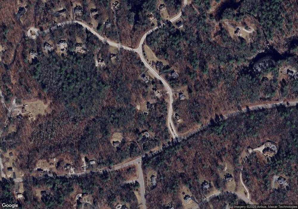
Map
Nearby Homes
- 28 Olde Lantern Rd
- 99 Cambridge Rd
- 14 Bills Way
- 25 Hawk Dr
- 30 Mill Stone Terrace
- 129 Mountain Base Rd
- 401 Wallace Rd
- Lot 6 Aisling Ln Unit Lot 6 - The Silverto
- 4 Westview Rd Unit Lot 4 - Hannah Floor
- 18 Sprague Mill Rd
- 3 Westview Rd Unit Lot 3 - The Saffron
- 55 Indian Rock Rd
- 5 Harvest Ln
- 6 Esther Dr
- 258 N Amherst Rd Unit 34
- 301 N Amherst Rd
- 16 Angel Point Cir Unit A
- 21 Grand Ave Unit Lot 6
- 18 Grand Ave Unit Lot 7
- 15 Grand Ave Unit Lot 3
Your Personal Tour Guide
Ask me questions while you tour the home.