6 Earl Stokes Cir Unit 1 Woburn, MA 01801
North Woburn NeighborhoodEstimated Value: $556,835 - $614,000
2
Beds
2
Baths
1,099
Sq Ft
$536/Sq Ft
Est. Value
About This Home
This home is located at 6 Earl Stokes Cir Unit 1, Woburn, MA 01801 and is currently estimated at $588,959, approximately $535 per square foot. 6 Earl Stokes Cir Unit 1 is a home located in Middlesex County with nearby schools including Linscott-Rumford Elementary School, John F. Kennedy Middle School, and Woburn High School.
Ownership History
Date
Name
Owned For
Owner Type
Purchase Details
Closed on
Aug 10, 2015
Sold by
Lai-Fung Samantha and Fung Alexander
Bought by
Samantha Lai-Fung
Current Estimated Value
Purchase Details
Closed on
Jun 12, 2015
Sold by
Fung Sanson H and Wong Sheila
Bought by
Lai-Fung Samantha and Fung Alexander
Create a Home Valuation Report for This Property
The Home Valuation Report is an in-depth analysis detailing your home's value as well as a comparison with similar homes in the area
Home Values in the Area
Average Home Value in this Area
Purchase History
| Date | Buyer | Sale Price | Title Company |
|---|---|---|---|
| Samantha Lai-Fung | -- | -- | |
| Lai-Fung Samantha | $338,000 | -- |
Source: Public Records
Tax History Compared to Growth
Tax History
| Year | Tax Paid | Tax Assessment Tax Assessment Total Assessment is a certain percentage of the fair market value that is determined by local assessors to be the total taxable value of land and additions on the property. | Land | Improvement |
|---|---|---|---|---|
| 2025 | $4,027 | $471,500 | $0 | $471,500 |
| 2024 | $3,652 | $453,100 | $0 | $453,100 |
| 2023 | $3,771 | $433,500 | $0 | $433,500 |
| 2022 | $3,808 | $407,700 | $0 | $407,700 |
| 2021 | $3,689 | $395,400 | $0 | $395,400 |
| 2020 | $3,647 | $391,300 | $0 | $391,300 |
| 2019 | $3,479 | $366,200 | $0 | $366,200 |
| 2018 | $3,485 | $352,400 | $0 | $352,400 |
| 2017 | $3,253 | $327,300 | $0 | $327,300 |
| 2016 | $3,043 | $302,800 | $0 | $302,800 |
| 2015 | $2,948 | $289,900 | $0 | $289,900 |
| 2014 | -- | $286,300 | $0 | $286,300 |
Source: Public Records
Map
Nearby Homes
- 6 Earl Stokes Cir Unit 2
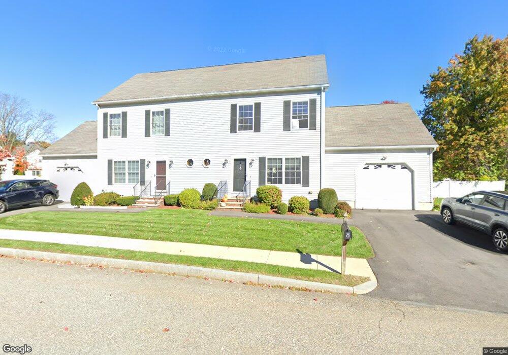
- 8 Earl Stokes Cir Unit 8
- 5 Mikaila Way
- 7 Earl Stokes Cir
- 5 Earl Stokes Cir Unit 2
- 5 Earl Stokes Cir Unit 1
- 5 Earl Stokes Cir Unit 5
- 2 Earl Stokes Cir Unit 2
- 2 Earl Stokes Cir
- 2 Earl Stokes Cir Unit 1
- 4 Earl Stokes Cir
- 3 Mikaila Way
- 9 Mikaila Way
- 7 Mikaila Way
- 7 Mikaila Way
- 7 Mikaila Way Unit 7
- 1 Earl Stokes Cir Unit 2
- 1 Earl Stokes Cir
- 1 Earl Stokes Cir Unit 1
- 3 Earl Stokes Cir